8 Dog Close, Adderbury, Banbury, OX17 3EF
About 8 Dog Close
8 Dog Close is a property in Adderbury, Banbury, Banbury (OX17 3EF). It has council tax band E.
It hasn't traded since October 2003, a hold of 23 years that's notably long for the area. 8 planning records sit against the property, 7 approved, 0 refused. Past consents include tree works, an extension and a porch, meaningful when judging how the property has evolved. Across 1999–2003, sale prices on this property compounded at 18.7% per year.
Everything you need to know about 8 Dog Close
The true value, the hidden risks and the full sale history, in one report.
Pick your report · every report is £14.99
One time fee only - money back guarantee

The data behind every report


Energy performance
No EPC on record
This property doesn't have an Energy Performance Certificate yet. An EPC is required to sell or let — and unlocks our automated valuation.
Get a survey for this property
Level 2 HomeBuyer Report
We've checked 10 risk factors against the available data for this property and believe a Level 2 HomeBuyer Report could be a suitable option for you.
Planning history
8 Dog Close has been through 7 approved planning applications — a well-evolved property.
8 applications on record at 8 Dog Close, Adderbury, Banbury, OX17 3EF
- Mar 2000Tree WorksTreesOutcome in report
Fell Leylandii tree and one Silver Birch
- Reference
- 00/00030/TCA
- More recent applications — locked
- Tree WorksSept 2025Decision
- Tree WorksSept 2022Decision
+ 5 more applications in the report
Unlock 8 Dog Close, Adderbury, Banbury, OX17 3EF's full planning history
You're seeing the shape of it. The report has the substance.
- Every decision — granted, refused or withdrawn (8 on record)
- All 8 applications on this property in full, plus 4 notable nearby
- The 56 documents, officer reports & conditions
- What the pattern means for extending or converting here
One time fee only - money back guarantee
Sales history & valuation
8 Dog Close has more than doubled in price since the earliest registered sale in 1999.
£335,000
Growth on file: 18.7% per year over 4 years.
Sales timeline
9 October 2003Most recent
£335,000
+106.8%over 4 years12 July 1999
£162,000
Median price across the last 5 sales in OX17 3EF: £349,995 (2022–2013).
Nearby sales in OX17 3EF
3 Dog Close, Adderbury, Banbury, OX17 3EF
Sold Jun 2022
£349,9952 Dog Close, Adderbury, Banbury, OX17 3EF
Sold Aug 2019
£360,0001a, Dog Close, Adderbury, Banbury, OX17 3EF
Sold Jan 2018
£192,50017 Dog Close, Adderbury, Banbury, OX17 3EF
Sold Nov 2013
£405,00015 Dog Close, Adderbury, Banbury, OX17 3EF
Sold Oct 2011
£443,000
Everything you need to know about 8 Dog Close
The true value, the hidden risks and the full sale history, in one report.
Pick your report · every report is £14.99
One time fee only - money back guarantee
The data behind every report
Similar properties nearby
1 Cartwright Road, Charlton
OX17 3DG
1 Adderbury Court, Adderbury
OX17 3NN
1 Chapel Lane, Adderbury
OX17 3LY
1 Astrop Road, Kings Sutton
OX17 3PG
1 Blacksmiths Hill, Aynho
OX17 3AH
1 Banbury Lane, Kings Sutton
OX17 3RU
1 Astrop Gardens, Kings Sutton
OX17 3PR
1 Arundel Close, Kings Sutton
OX17 3QZ
The neighbourhood at a glance
Daytime road noise here sits well below conversation level — a quiet pocket of the postcode.
Crime
2/mo
Steady year-on-year across the wider district.
Nearest stop
0.1 km
Old Post Office — bus stop.
Closest school
0.7 km
Christopher Rawlins Church of England Primary School. 3 schools nearby.
Go deeper on the local area
A Local Area report breaks down crime, transport links, schools and air quality in depth.
Road noise across the postcode
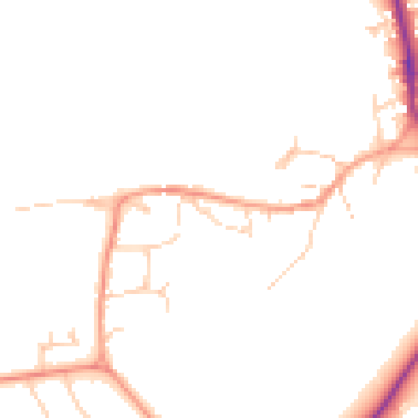
Daytime· 07:00 – 23:00
45.4dB

Night-time· 23:00 – 07:00
37.8dB