9 Otters Reach, Kennington, Oxford, OX1 5QL
About 9 Otters Reach
9 Otters Reach is a two-bedroom end-of-terrace house in Kennington, Oxford, Oxford (OX1 5QL). It has a recorded floor area of 57 m² (around 614 sq ft), construction records dating it to 1983-1990 and council tax band C. The latest certificate (July 2016) shows a D (score 65), on the cusp of jumping into the C band. The recommended improvements would lift it to B (score 89), a 2-band jump. The home occupies a cul-de-sac position.
On the market in April 2017 and unlisted since — roughly 9 years. Across the public record there are 4 sales, relatively high churn for a single property. Across 1995–2017, sale prices on this property compounded at 7.5% per year. Today's modelled estimate of £348,000 is 17.2% above the 2017 sale price. On a £-per-square-foot basis, the last sale (£484/sq ft) was about 72.6% above the typical sold price in the postcode.
What this property has
Inside
- Bedrooms2
- Open-plan layoutYes
Outside
- GarageYes
- Cul-de-sacYes
Building
- Heating systemGas
Everything you need to know about 9 Otters Reach
The true value, the hidden risks and the full sale history, in one report.
30-day money-back guarantee

The data behind every report


Energy performance
Recommended upgrades on file would lift this property by multiple EPC bands.
EPC Rating
Planning history
9 Otters Reach has no planning applications on record.
Notable planning nearby
5applications of note in the surrounding area
We flagged 1 thing worth checking at 9 Otters Reach
Independent checks surfaced things a buyer would want to understand before offering. The report explains each one in full, with the underlying data and what to ask.
- Larger development activity nearby
30-day money-back guarantee
Sales history & valuation
9 Otters Reach has more than quadrupled in price since its earliest registered sale in 1995.
£348,000
Modelled from EPC, postcode comparables and a sale-price growth of 7.5% per year over 21 years.
£297,000
Growth on file: 7.5% per year over 21 years.
Sales timeline
12 April 2017Most recent
£297,000
+65.5%over 11 years3 January 2006
£179,500
+50.8%over 4 years28 June 2001
£119,000
+88.9%over 5 years8 December 1995
£63,000
Median price across the last 5 sales in OX1 5QL: £325,000 (2023–2021).
Nearby sales in OX1 5QL
46 Otters Reach, Kennington, Oxford, OX1 5QL
Sold Apr 2023
£335,00033 Otters Reach, Kennington, Oxford, OX1 5QL
Sold Nov 2022
£425,00021 Otters Reach, Kennington, Oxford, OX1 5QL
Sold Aug 2022
£307,00055 Otters Reach, Kennington, Oxford, OX1 5QL
Sold Jul 2021
£325,0005 Otters Reach, Kennington, Oxford, OX1 5QL
Sold Apr 2021
£255,000
Versus other Otters Reach homes
9 Otters Reach outperforms the street on price per m² by a wide margin.
Price per m²
£5,211
Street avg £3,851
Floor Area
57 m²
Street avg 66 m²
Habitable Rooms
3 rooms
Street avg 4 rooms
CO₂ Emissions
2.7 t/year
Street avg 2.6 t/year
Everything you need to know about 9 Otters Reach
The true value, the hidden risks and the full sale history, in one report.
30-day money-back guarantee
The data behind every report
Similar properties nearby
1 Beaumont Court, The Avenue
OX1 5AL
1 Links Road, Kennington
OX1 5RX
1 Otters Reach, Kennington
OX1 5QL
1 Playfield Road, Kennington
OX1 5RS
1 Bagley Wood Road, Kennington
OX1 5PL
1 Fairways, Kennington
OX1 5RQ
1 Bagley Close, Kennington
OX1 5LS
1 Grundy Crescent, Kennington
OX1 5PS
The neighbourhood at a glance
Reported crime in the wider district is trending notably upward year-on-year.
Crime
6/mo
Rising year-on-year across the wider district.
Nearest stop
0.2 km
Bagley Wood Road — bus stop.
Closest school
0.4 km
St Swithun's CofE Primary School. 14 schools nearby.
Go deeper on the local area
The full report breaks down crime, transport links, schools and air quality in depth.
Road noise across the postcode
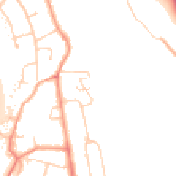
Daytime· 07:00 – 23:00
49.6dB

Night-time· 23:00 – 07:00
42.2dB