3 Newton Road, Oxford, OX1 4PT
About 3 Newton Road
3 Newton Road is a three-bedroom mid-terrace house in Oxford (OX1 4PT). It has a recorded floor area of 101 m² (around 1087 sq ft), construction records dating it to before 1900 and council tax band E. The latest certificate (August 2018) shows a D (score 59), a step below the typical UK home. The recommended improvements would push it to C (score 75).
It hasn't traded since March 2008, a hold of 18 years that's notably long for the area. That sale landed at the peak of the pre-credit-crunch market, which is a useful reference point when interpreting the price. Today's modelled estimate of £654,000 sits 79.2% above the 2008 sale of £365,000. On a £-per-square-foot basis, the last sale (£336/sq ft) was about 16.5% above the typical sold price in the postcode.
What this property has
Inside
- Bedrooms3
- Bathrooms1
Outside
- Private gardenYes
- GarageYes
Everything you need to know about 3 Newton Road
The true value, the hidden risks and the full sale history, in one report.
30-day money-back guarantee

The data behind every report


Energy performance
EPC Rating
Planning history
3 Newton Road has no planning applications on record.
Notable planning nearby
21applications of note in the surrounding area
We flagged 2 things worth checking at 3 Newton Road
Independent checks surfaced things a buyer would want to understand before offering. The report explains each one in full, with the underlying data and what to ask.
- Signs of HMO activity in the area
- Larger development activity nearby
30-day money-back guarantee
Sales history & valuation
The latest sale landed at the peak of the pre-credit-crunch market — a high-water reference point.
£654,000
Modelled from EPC, postcode comparables.
£365,000
Recorded with HM Land Registry.
Sales timeline
19 March 2008Most recent
£365,000
Median price across the last 5 sales in OX1 4PT: £575,000 (2024–2020).
Versus other Newton Road homes
Habitable Rooms for 3 Newton Road lags the street by a wide margin.
Price per m²
£3,614
Street avg £4,558
Floor Area
101 m²
Street avg 114 m²
Habitable Rooms
4 rooms
Street avg 6 rooms
CO₂ Emissions
5.6 t/year
Street avg 5.2 t/year
Everything you need to know about 3 Newton Road
The true value, the hidden risks and the full sale history, in one report.
30-day money-back guarantee
The data behind every report
Similar properties nearby
The neighbourhood at a glance
Reported crime in the wider district is trending notably upward year-on-year.
Crime
6/mo
Rising year-on-year across the wider district.
Nearest stop
0.1 km
Newton Road — bus stop.
Closest school
0.4 km
New Hinksey Church of England Primary School. 16 schools nearby.
Go deeper on the local area
The full report breaks down crime, transport links, schools and air quality in depth.
Road noise across the postcode
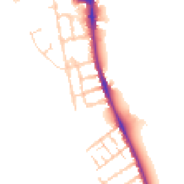
Daytime· 07:00 – 23:00
49.5dB

Night-time· 23:00 – 07:00
42.6dB