17 Stable Close, Oxford, OX1 2RF
About 17 Stable Close
17 Stable Close is a three-bedroom mid-terrace house in Oxford (OX1 2RF). It has a recorded floor area of 76 m² (around 818 sq ft), construction records dating it to 1996-2002 and council tax band D. Other recorded features include a conservatory. The latest certificate (December 2020) shows a C (score 73). The recommended improvements would push it to B (score 86).
Untraded for 24 years, with the last transfer in November 2002. Across 1998–2002, sale prices on this property compounded at 15.9% per year. Today's modelled estimate of £655,000 sits 167.3% above the 2002 sale of £245,000. On a £-per-square-foot basis, the last sale (£299/sq ft) was about 27% above the typical sold price in the postcode.
What this property has
Inside
- Bedrooms3
- Bathrooms2
- EnsuiteYes
- StudyYes
- ConservatoryYes
Everything you need to know about 17 Stable Close
The true value, the hidden risks and the full sale history, in one report.
30-day money-back guarantee

The data behind every report


Energy performance
EPC Rating
Planning history
17 Stable Close has no planning applications on record.
Notable planning nearby
2applications of note in the surrounding area
We flagged 1 thing worth checking at 17 Stable Close
Independent checks surfaced things a buyer would want to understand before offering. The report explains each one in full, with the underlying data and what to ask.
- Larger development activity nearby
30-day money-back guarantee
Sales history & valuation
17 Stable Close's modelled value sits at over four times its earliest registered sale price (1998).
£655,000
Modelled from EPC, postcode comparables and a sale-price growth of 15.9% per year over 4 years.
£245,000
Growth on file: 15.9% per year over 4 years.
Sales timeline
7 November 2002Most recent
£245,000
+90.0%over 4 years29 June 1998
£128,950
Median price across the last 5 sales in OX1 2RF: £540,000 (2025–2020).
Versus other Stable Close homes
Price per m²
£3,224
Street avg £4,905
Floor Area
76 m²
Street avg 75 m²
Habitable Rooms
4 rooms
Street avg 4 rooms
CO₂ Emissions
2.2 t/year
Street avg 2.3 t/year
Everything you need to know about 17 Stable Close
The true value, the hidden risks and the full sale history, in one report.
30-day money-back guarantee
The data behind every report
Similar properties nearby
The neighbourhood at a glance
Rail-style transport is unusually close for this postcode.
Crime
6/mo
Rising year-on-year across the wider district.
Nearest stop
0.1 km
Railway Station — bus stop.
Closest school
0.5 km
St Barnabas' Church of England Aided Primary School. 16 schools nearby.
Go deeper on the local area
The full report breaks down crime, transport links, schools and air quality in depth.
Road noise across the postcode
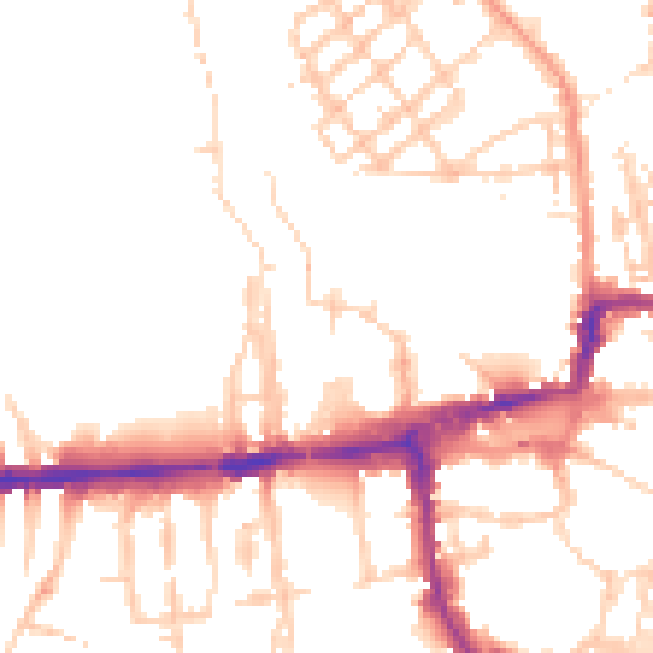
Daytime· 07:00 – 23:00
50.6dB

Night-time· 23:00 – 07:00
41.6dB