1 Rickyard Close, Oxford, OX1 2RE
About 1 Rickyard Close
1 Rickyard Close is a four-bedroom end-of-terrace house in Oxford (OX1 2RE). It has a recorded floor area of 110 m² (around 1184 sq ft), construction records dating it to 1996-2002 and council tax band E. The latest certificate (September 2019) shows a C (score 75), near the top of the C band. The rating has held steady at C across 2 certificates since September 2009. Between certificates, lighting went from Very Poor to Very Good. The recommended improvements would push it to B (score 85).
Held since March 1998 — that's 28 years off the open market, well above the local norm. Only one transfer is on record with HM Land Registry, suggesting it has stayed in the same hands for a long time. Today's modelled estimate of £705,000 sits 235.8% above the 1998 sale of £209,950. On a £-per-square-foot basis, the last sale (£177/sq ft) was about 38.4% below the postcode norm.
What this property has
Inside
- Bedrooms4
- Bathrooms3
- CloakroomYes
- EnsuiteYes
Outside
- Private gardenRear
- ParkingOff street
Everything you need to know about 1 Rickyard Close
The true value, the hidden risks and the full sale history, in one report.
30-day money-back guarantee

The data behind every report


Energy performance
EPC Rating
Property Improvements
Changes detected from historical EPC data
Floor insulation added or improved
More low energy lighting installed
Planning history
1 Rickyard Close has no planning applications on record.
Notable planning nearby
2applications of note in the surrounding area
We flagged 1 thing worth checking at 1 Rickyard Close
Independent checks surfaced things a buyer would want to understand before offering. The report explains each one in full, with the underlying data and what to ask.
- Larger development activity nearby
30-day money-back guarantee
Sales history & valuation
1 Rickyard Close's estimated value is more than triple its earliest registered sale price (1998).
£705,000
Modelled from EPC, postcode comparables.
£209,950
Recorded with HM Land Registry.
Sales timeline
30 March 1998Most recent
£209,950
Median price across the last 5 sales in OX1 2RE: £640,000 (2025–2015).
Versus other Rickyard Close homes
1 Rickyard Close outperforms the street on years held by a wide margin.
Price per m²
£1,909
Street avg £4,553
Floor Area
110 m²
Street avg 110 m²
Habitable Rooms
5 rooms
Street avg 5 rooms
CO₂ Emissions
2.9 t/year
Street avg 3.3 t/year
Everything you need to know about 1 Rickyard Close
The true value, the hidden risks and the full sale history, in one report.
30-day money-back guarantee
The data behind every report
Similar properties nearby
The neighbourhood at a glance
Rail-style transport is unusually close for this postcode.
Crime
6/mo
Rising year-on-year across the wider district.
Nearest stop
0.2 km
Railway Station — bus stop.
Closest school
0.5 km
St Barnabas' Church of England Aided Primary School. 16 schools nearby.
Go deeper on the local area
The full report breaks down crime, transport links, schools and air quality in depth.
Road noise across the postcode
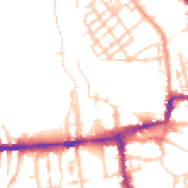
Daytime· 07:00 – 23:00
50.4dB
Night-time· 23:00 – 07:00
41.4dB