11 Ashford Walk, Chadderton, Oldham, OL9 9BT
About 11 Ashford Walk
11 Ashford Walk is an end-of-terrace house in Chadderton, Oldham, Oldham (OL9 9BT). It has a recorded floor area of 73 m² (around 786 sq ft) and council tax band A. The latest certificate (March 2013) shows a D (score 63), on the cusp of jumping into the C band. The latest certificate is from March 2013, so improvements made since then won't be reflected.
At 73 m² it's 18.4% smaller than the typical home in the postcode (90 m² median across 8 EPCs).
Everything you need to know about 11 Ashford Walk
The true value, the hidden risks and the full sale history, in one report.
Pick your report · every report is £14.99
One time fee only - money back guarantee

The data behind every report


Energy performance
11 Ashford Walk's EPC is over a decade old — improvements since won't be reflected.
EPC Expired
This certificate is over 10 years old and is no longer valid.Expired 12 Mar 2023
EPC Rating
Get a survey for this property
Level 2 HomeBuyer Report
We've checked 10 risk factors against the available data for this property and believe a Level 2 HomeBuyer Report could be a suitable option for you.
From £495 · Includes VAT
Planning history
11 Ashford Walk has no planning applications on record.
But the area is active
2 notable applications nearby — larger schemes and conversions that could reshape the street. The report maps them all.
Sales history & valuation
11 Ashford Walk has no Land Registry sales on file, suggesting it has stayed in the same hands since registration began.
£167,000
Modelled from EPC, postcode comparables.
No sales recorded with HM Land Registry
That can mean the property has never traded since the registry began publishing in 1995, was a new build that hasn't been registered yet, or is held in the same hands long-term.
Median price across the last 3 sales in OL9 9BT: £91,000 (2023–2019).
Nearby sales in OL9 9BT
Versus other Ashford Walk homes
11 Ashford Walk is notably below the street on floor area.
EPC Rating
63 (D)
Street avg 72 (C)
Floor Area
73 m²
Street avg 90 m²
CO₂ Emissions
3.3 t/year
Street avg 2.8 t/year
Everything you need to know about 11 Ashford Walk
The true value, the hidden risks and the full sale history, in one report.
Pick your report · every report is £14.99
One time fee only - money back guarantee
The data behind every report
Similar properties nearby
1 Bexhill Walk, Chadderton
OL9 9BE
1 Arundel Walk, Chadderton
OL9 9BZ
1 Chilton Avenue, Chadderton
OL9 9RB
1 Apfel Lane, Chadderton
OL9 9TA
1 Ferring Walk, Chadderton
OL9 9DE
1 Ashford Walk, Chadderton
OL9 9BT
1 Dairy Street, Chadderton
OL9 9HA
1 Coniston Close, Chadderton
OL9 9JQ
The neighbourhood at a glance
Rail-style transport is unusually close for this postcode.
Crime
1/mo
Steady year-on-year across the wider district.
Nearest stop
0.2 km
Robinson Street — bus stop.
Closest school
0.2 km
Christ Church CofE Primary School. 46 schools nearby.
Go deeper on the local area
A Local Area report breaks down crime, transport links, schools and air quality in depth.
Road noise across the postcode
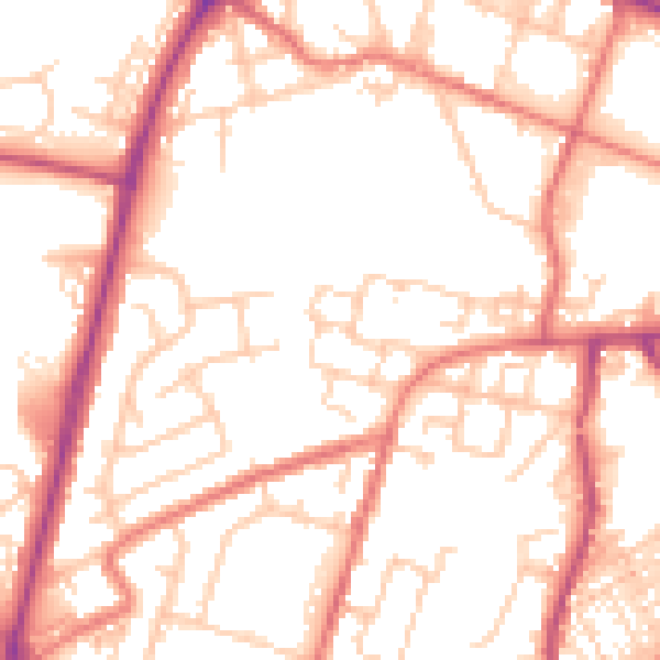
Daytime· 07:00 – 23:00
53.1dB

Night-time· 23:00 – 07:00
42.3dB