16 Elizabeth Avenue, Chadderton, Oldham, OL9 8LY
About 16 Elizabeth Avenue
16 Elizabeth Avenue is a mid-terrace house in Chadderton, Oldham, Oldham (OL9 8LY). It has a recorded floor area of 48 m² (around 517 sq ft), construction records dating it to 1967-1975 and council tax band A. At 48 m² this is the 7th smallest of 46 units on EPC record in the building, where floor areas span 45–91 m². The building's EPC ratings span D to B across 46 units on file. The latest certificate (February 2018) shows a C (score 76), near the top of the C band.
At 48 m² it's 20% smaller than the typical home in the postcode (60 m² median across 45 EPCs).
Everything you need to know about 16 Elizabeth Avenue
The true value, the hidden risks and the full sale history, in one report.
Pick your report · every report is £14.99
One time fee only - money back guarantee

The data behind every report


Energy performance
16 Elizabeth Avenue's carbon output is low for the local stock.
EPC Rating
Get a survey for this property
Level 2 HomeBuyer Report
We've checked 10 risk factors against the available data for this property and believe a Level 2 HomeBuyer Report could be a suitable option for you.
From £495 · Includes VAT
Planning history
16 Elizabeth Avenue has no planning applications on record.
But the area is active
2 notable applications nearby — larger schemes and conversions that could reshape the street. The report maps them all.
Sales history & valuation
16 Elizabeth Avenue has no Land Registry sales on file, suggesting it has stayed in the same hands since registration began.
£115,000
Modelled from EPC, postcode comparables.
No sales recorded with HM Land Registry
That can mean the property has never traded since the registry began publishing in 1995, was a new build that hasn't been registered yet, or is held in the same hands long-term.
Median price across the last 5 sales in OL9 8LY: £175,000 (2024–2023).
Nearby sales in OL9 8LY
9 Elizabeth Avenue, Chadderton, Oldham, OL9 8LY
Sold Oct 2024
£201,00011 Elizabeth Avenue, Chadderton, Oldham, OL9 8LY
Sold Apr 2024
£175,00021 Elizabeth Avenue, Chadderton, Oldham, OL9 8LY
Sold Nov 2023
£138,0001 Elizabeth Avenue, Chadderton, Oldham, OL9 8LY
Sold Sept 2023
£185,0007 Elizabeth Avenue, Chadderton, Oldham, OL9 8LY
Sold Aug 2023
£153,000
Versus other Elizabeth Avenue homes
Floor Area for 16 Elizabeth Avenue lags the street by a wide margin.
EPC Rating
76 (C)
Street avg 76 (C)
Floor Area
48 m²
Street avg 54 m²
CO₂ Emissions
1.5 t/year
Street avg 1.5 t/year
Habitable Rooms
3 rooms
Street avg 3 rooms
Everything you need to know about 16 Elizabeth Avenue
The true value, the hidden risks and the full sale history, in one report.
Pick your report · every report is £14.99
One time fee only - money back guarantee
The data behind every report
Similar properties nearby
1 Butterworth Lane, Chadderton
OL9 8ED
1 Dunster House, Dunster Close, Chadderton
OL9 8DJ
1 Glenham Way, Chadderton
OL9 8BW
1 Fourth Avenue, Chadderton
OL9 8PG
1 Bredbury Street, Chadderton
OL9 8QW
1 Glebe Street, Chadderton
OL9 8HY
1 Grampian Close, Chadderton
OL9 8PT
1 Brooklands Avenue, Chadderton
OL9 8PF
The neighbourhood at a glance
Rail-style transport is unusually close for this postcode.
Crime
1/mo
Steady year-on-year across the wider district.
Nearest stop
0.2 km
Houseley Avenue — bus stop.
Closest school
0.3 km
Yew Tree Community School. 49 schools nearby.
Go deeper on the local area
A Local Area report breaks down crime, transport links, schools and air quality in depth.
Road noise across the postcode
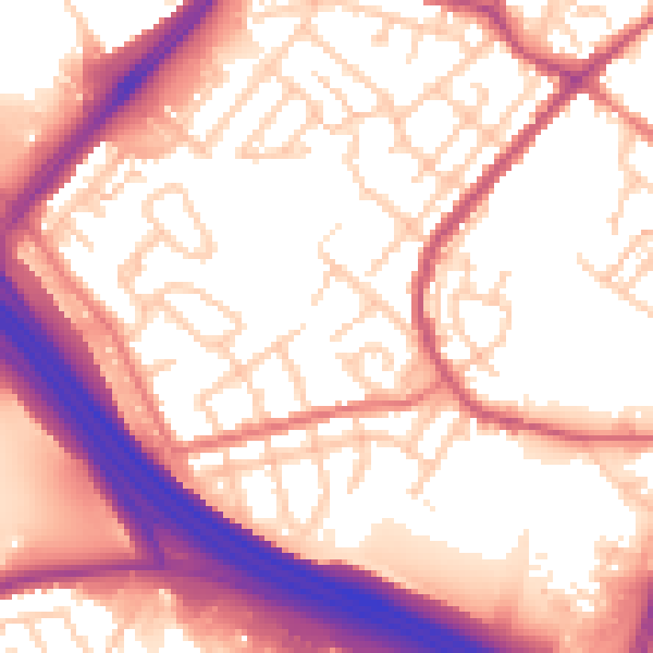
Daytime· 07:00 – 23:00
57.4dB

Night-time· 23:00 – 07:00
48.4dB