419 Burnley Lane, Chadderton, Oldham, OL9 0BP
About 419 Burnley Lane
419 Burnley Lane is a property in Chadderton, Oldham, Oldham (OL9 0BP). It has council tax band D.
Energy performance
No EPC on record
This property doesn't have an Energy Performance Certificate yet. An EPC is required to sell or let — and unlocks our automated valuation.
Get a survey for this property
Level 2 HomeBuyer Report
We've checked 10 risk factors against the available data for this property and believe a Level 2 HomeBuyer Report could be a suitable option for you.
Planning history
No planning applications are recorded against 419 Burnley Lane, Chadderton, Oldham, OL9 0BP. The full report also covers planning activity across the surrounding area.
Sales history & valuation
No sales recorded with HM Land Registry
That can mean the property has never traded since the registry began publishing in 1995, was a new build that hasn't been registered yet, or is held in the same hands long-term.
Median price across the last 5 sales in OL9 0BP: £285,000 (2024–2020).
Nearby sales in OL9 0BP
449 Burnley Lane, Chadderton, Oldham, OL9 0BP
Sold Sept 2024
£327,000435 Burnley Lane, Chadderton, Oldham, OL9 0BP
Sold Dec 2023
£270,000457 Burnley Lane, Chadderton, Oldham, OL9 0BP
Sold Jul 2023
£325,000413 Burnley Lane, Chadderton, Oldham, OL9 0BP
Sold Mar 2022
£285,000463 Burnley Lane, Chadderton, Oldham, OL9 0BP
Sold Oct 2020
£275,000
Similar properties nearby
1 5, Victoria Street, Chadderton
OL9 0HH
1 Alasdair Close, Chadderton
OL9 0NE
1 Alligin Close, Chadderton
OL9 0LZ
1 Arkle Drive, Chadderton
OL9 0ND
1 Ash Walk, Chadderton
OL9 0JP
1 Avon Road, Chadderton
OL9 0PH
1 Bannach Drive, Chadderton
OL9 0QN
1 Baytree Avenue, Chadderton
OL9 0NH
The neighbourhood at a glance
Crime
1/mo
Steady year-on-year across the wider district.
Nearest stop
0.0 km
Chadderton Park Inn — bus stop.
Closest school
0.5 km
North Chadderton School. 41 schools nearby.
Road noise across the postcode
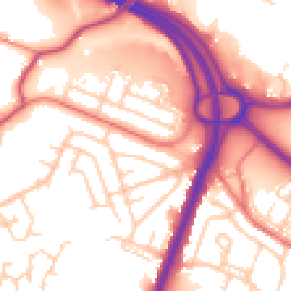
Daytime· 07:00 – 23:00
55.8dB

Night-time· 23:00 – 07:00
47.0dB