2 Camberwell Way, Royton, Oldham, OL2 5TL
About 2 Camberwell Way
2 Camberwell Way is a property in Royton, Oldham, Oldham (OL2 5TL). It has council tax band C.
One planning record on file: an extension refused in 2005.
Energy performance
No EPC on record
This property doesn't have an Energy Performance Certificate yet. An EPC is required to sell or let — and unlocks our automated valuation.
Get a survey for this property
Level 2 HomeBuyer Report
We've checked 10 risk factors against the available data for this property and believe a Level 2 HomeBuyer Report could be a suitable option for you.
Planning history
- Jan 2005ExtensionFullOutcome in report
Extension: Side of property
Two storey side extension forming garage, bedroom and bathroom
- Documents
- 11 docs on file
- Reference
- HH/048362/04
Sales history & valuation
No sales recorded with HM Land Registry
That can mean the property has never traded since the registry began publishing in 1995, was a new build that hasn't been registered yet, or is held in the same hands long-term.
Median price across the last 5 sales in OL2 5TL: £187,000 (2025–2021).
Nearby sales in OL2 5TL
5 Camberwell Way, Royton, Oldham, OL2 5TL
Sold Mar 2025
£209,95031 Camberwell Way, Royton, Oldham, OL2 5TL
Sold May 2024
£222,5006 Camberwell Way, Royton, Oldham, OL2 5TL
Sold Aug 2021
£174,95019 Camberwell Way, Royton, Oldham, OL2 5TL
Sold Jul 2021
£159,9509 Camberwell Way, Royton, Oldham, OL2 5TL
Sold Feb 2021
£187,000
Similar properties nearby
The neighbourhood at a glance
Daytime road noise here sits well below conversation level — a quiet pocket of the postcode.
Crime
1/mo
Steady year-on-year across the wider district.
Nearest stop
0.2 km
Westerdale Drive — bus stop.
Closest school
0.2 km
Thorp Primary School. 36 schools nearby.
Road noise across the postcode
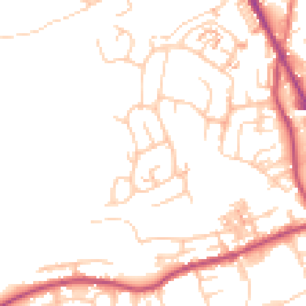
Daytime· 07:00 – 23:00
49.8dB

Night-time· 23:00 – 07:00
40.2dB