42 Cumberland Drive, Royton, Oldham, OL2 5AY
About 42 Cumberland Drive
42 Cumberland Drive is a two-bedroom property in Royton, Oldham, Oldham (OL2 5AY). It has council tax band B.
Untraded for 19 years, with the last transfer in September 2007. That sale landed at the peak of the pre-credit-crunch market, which is a useful reference point when interpreting the price. Across 1996–2007, sale prices on this property compounded at 9.6% per year.
What this property has
Inside
- Bedrooms2
Outside
- Private gardenYes
- ParkingAllocated
Building
- Heating systemGas
Everything you need to know about 42 Cumberland Drive
The true value, the hidden risks and the full sale history, in one report.
Pick your report · every report is £14.99
One time fee only - money back guarantee

The data behind every report


Energy performance
No EPC on record
This property doesn't have an Energy Performance Certificate yet. An EPC is required to sell or let — and unlocks our automated valuation.
Get a survey for this property
Level 2 HomeBuyer Report
We've checked 10 risk factors against the available data for this property and believe a Level 2 HomeBuyer Report could be a suitable option for you.
Planning history
42 Cumberland Drive has no planning applications on record.
But the area is active
3 notable applications nearby — larger schemes and conversions that could reshape the street. The report maps them all.
Sales history & valuation
Sale price has at least doubled since 1996.
£121,500
Growth on file: 9.6% per year over 11 years.
Sales timeline
3 September 2007Most recent
£121,500
+170.0%over 10 years31 October 1996
£45,000
Median price across the last 5 sales in OL2 5AY: £175,000 (2025–2021).
Nearby sales in OL2 5AY
47 Cumberland Drive, Royton, Oldham, OL2 5AY
Sold Jan 2025
£170,00028 Cumberland Drive, Royton, Oldham, OL2 5AY
Sold Apr 2024
£232,00026 Cumberland Drive, Royton, Oldham, OL2 5AY
Sold Jun 2023
£317,00034 Cumberland Drive, Royton, Oldham, OL2 5AY
Sold Nov 2022
£175,00038 Cumberland Drive, Royton, Oldham, OL2 5AY
Sold Aug 2021
£128,000
Everything you need to know about 42 Cumberland Drive
The true value, the hidden risks and the full sale history, in one report.
Pick your report · every report is £14.99
One time fee only - money back guarantee
The data behind every report
Similar properties nearby
1 Cemetery Road, Royton
OL2 5SP
1 Briony Close, Royton
OL2 5AL
1 Butcher Lane, Royton
OL2 5UR
1 Carlton Way, Royton
OL2 5AZ
1 Baldwins Close, Royton
OL2 5FG
1 Cecil Street, Royton
OL2 5NE
1 Camberwell Way, Royton
OL2 5TL
1 Beechwood Drive, Royton
OL2 5XR
The neighbourhood at a glance
Crime
1/mo
Steady year-on-year across the wider district.
Nearest stop
0.1 km
Seville Street — bus stop.
Closest school
0.5 km
St Anne's CofE (Aided) Primary School. 49 schools nearby.
Go deeper on the local area
A Local Area report breaks down crime, transport links, schools and air quality in depth.
Road noise across the postcode
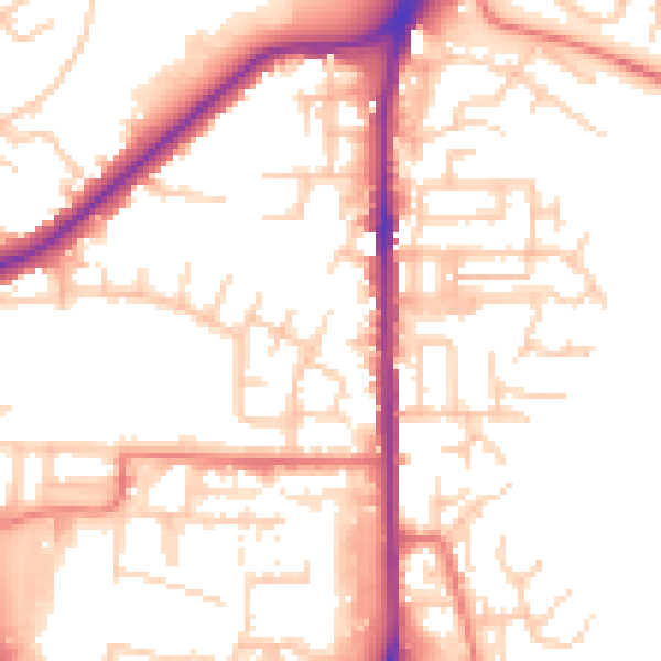
Daytime· 07:00 – 23:00
53.1dB

Night-time· 23:00 – 07:00
43.4dB