86 Rugby Road, Rochdale, OL12 0DZ
About 86 Rugby Road
86 Rugby Road is a mid-terrace house in Rochdale (OL12 0DZ). It has a recorded floor area of 62 m² (around 667 sq ft), construction records dating it to 1930-1949 and council tax band A. The latest certificate (September 2017) shows a D (score 65), on the cusp of jumping into the C band. The recommended improvements would push it to C (score 79).
Across 2017–2021, sale prices on this property compounded at 14.1% per year. Today's modelled estimate of £129,000 is 43.3% above the 2021 sale price. On a £-per-square-foot basis, the last sale (£135/sq ft) was about 59.7% above the typical sold price in the postcode. Most recent transfer: August 2021 at £90,000. That sale was during the post-pandemic price surge, when transactions cleared materially above pre-2020 trend.
Everything you need to know about 86 Rugby Road
The true value, the hidden risks and the full sale history, in one report.
30-day money-back guarantee

The data behind every report


Energy performance
EPC Rating
Get a survey for this property
Level 2 HomeBuyer Report
We've checked 10 risk factors against the available data for this property and believe a Level 2 HomeBuyer Report could be a suitable option for you.
From £495 · Includes VAT
Planning history
86 Rugby Road has no planning applications on record.
Notable planning nearby
4applications of note in the surrounding area
We flagged 1 thing worth checking at 86 Rugby Road
Independent checks surfaced things a buyer would want to understand before offering. The report explains each one in full, with the underlying data and what to ask.
- Larger development activity nearby
30-day money-back guarantee
Sales history & valuation
The latest sale landed in the post-pandemic price surge — useful context when reading the figure.
£129,000
Modelled from EPC, postcode comparables and a sale-price growth of 14.1% per year over 4 years.
£90,000
Growth on file: 14.1% per year over 4 years.
Sales timeline
30 August 2021Most recent
£90,000
+66.7%over 3 years12 October 2017
£54,000
Median price across the last 5 sales in OL12 0DZ: £125,000 (2025–2023).
Versus other Rugby Road homes
86 Rugby Road outperforms the street on price per m² by a wide margin.
Price per m²
£1,452
Street avg £1,109
Floor Area
62 m²
Street avg 69 m²
Habitable Rooms
4 rooms
Street avg 4 rooms
CO₂ Emissions
3.5 t/year
Street avg 3.7 t/year
Everything you need to know about 86 Rugby Road
The true value, the hidden risks and the full sale history, in one report.
30-day money-back guarantee
The data behind every report
Similar properties nearby
The neighbourhood at a glance
Crime
1/mo
Steady year-on-year across the wider district.
Nearest stop
0.2 km
Taylor Street — bus stop.
Closest school
0.2 km
St Patrick's Roman Catholic Primary School. 34 schools nearby.
Go deeper on the local area
The full report breaks down crime, transport links, schools and air quality in depth.
Road noise across the postcode
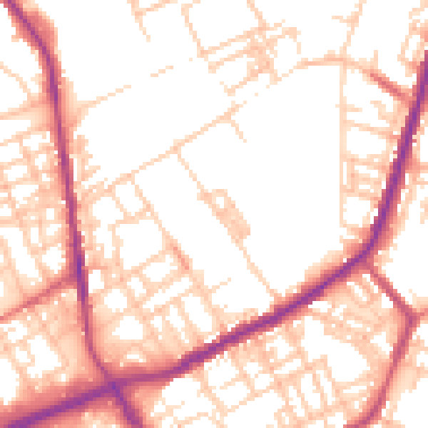
Daytime· 07:00 – 23:00
53.9dB

Night-time· 23:00 – 07:00
44.0dB