19 Bridgefold Road, Rochdale, OL11 5BP
About 19 Bridgefold Road
19 Bridgefold Road is a semi-detached house in Rochdale (OL11 5BP). It has a recorded floor area of 94 m² (around 1012 sq ft) and council tax band C. The latest certificate (September 2012) shows a C (score 79), near the top of the C band. The latest certificate is from September 2012, so improvements made since then won't be reflected.
2 planning records sit against the property, 1 approved, 0 refused. Past consents include an extension, meaningful when judging how the property has evolved. 12 years since the last transfer (December 2013). Today's modelled estimate of £227,000 is 46.5% above the 2013 sale price.
Everything you need to know about 19 Bridgefold Road
The true value, the hidden risks and the full sale history, in one report.
30-day money-back guarantee

The data behind every report


Energy performance
19 Bridgefold Road's EPC is over a decade old — improvements since won't be reflected.
EPC Expired
This certificate is over 10 years old and is no longer valid.Expired 19 Sept 2022
EPC Rating
Planning history
19 Bridgefold Road has an approved single-storey side and rear extension on the planning record.
- Dec 2021ConditionsIn report
Submission of details to comply with condition 3 (materials) on planning permission 21/01059/HOUS
- Agent
- AJ COCKER ASSOCIATES
- Documents
- 3 docs on file
- Reference
- 21/01578/DOC
- Sept 2021ExtensionFullIn report
Extension: Single storey · Side and rear of property
Single storey side and rear extension including front dormer
- Agent
- AJ COCKER ASSOCIATES
- Documents
- 19 docs on file
- Reference
- 21/01059/HOUS
What's in 19 Bridgefold Road, Rochdale, OL11 5BP's planning history?
Refusals, disputes and full decisions on this property and nearby, in the report.
Sales history & valuation
19 Bridgefold Road valuation sits well clear of the typical sold price in this postcode.
£227,000
Modelled from EPC, postcode comparables.
£154,950
Recorded with HM Land Registry.
Sales timeline
12 December 2013Most recent
£154,950
Median price across the last 5 sales in OL11 5BP: £235,000 (2024–2023).
Nearby sales in OL11 5BP
Versus other Bridgefold Road homes
19 Bridgefold Road outperforms the street on years held by a wide margin.
Price per m²
£1,648
Street avg £1,494
Floor Area
94 m²
Street avg 106 m²
CO₂ Emissions
2.0 t/year
Street avg 2.1 t/year
Years Held
12 years
Street avg 8 years
Everything you need to know about 19 Bridgefold Road
The true value, the hidden risks and the full sale history, in one report.
30-day money-back guarantee
The data behind every report
Similar properties nearby
The neighbourhood at a glance
Crime
1/mo
Steady year-on-year across the wider district.
Nearest stop
0.1 km
Spotland Road — bus stop.
Closest school
0.5 km
Spotland Primary Academy. 33 schools nearby.
Go deeper on the local area
The full report breaks down crime, transport links, schools and air quality in depth.
Road noise across the postcode
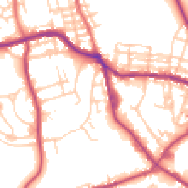
Daytime· 07:00 – 23:00
53.2dB

Night-time· 23:00 – 07:00
44.3dB