15 Birchfield Drive, Rochdale, OL11 4NY
About 15 Birchfield Drive
15 Birchfield Drive is a semi-detached house in Rochdale (OL11 4NY). It has a recorded floor area of 71 m² (around 764 sq ft), construction records dating it to 1967-1975 and council tax band D. The latest certificate (April 2018) shows a D (score 59), a step below the typical UK home. The recommended improvements would lift it to B (score 84), a 2-band jump.
At 71 m² it's 23.7% smaller than the typical home in the postcode (93 m² median across 35 EPCs).
Everything you need to know about 15 Birchfield Drive
The true value, the hidden risks and the full sale history, in one report.
30-day money-back guarantee

The data behind every report


Energy performance
Recommended upgrades on file would lift this property by multiple EPC bands.
EPC Rating
Planning history
15 Birchfield Drive has no planning applications on record.
Notable planning nearby
4applications of note in the surrounding area
We flagged 1 thing worth checking at 15 Birchfield Drive
Independent checks surfaced things a buyer would want to understand before offering. The report explains each one in full, with the underlying data and what to ask.
- Larger development activity nearby
30-day money-back guarantee
Sales history & valuation
15 Birchfield Drive has no Land Registry sales on file, suggesting it has stayed in the same hands since registration began.
£251,000
Modelled from EPC, postcode comparables.
No sales recorded with HM Land Registry
That can mean the property has never traded since the registry began publishing in 1995, was a new build that hasn't been registered yet, or is held in the same hands long-term.
Median price across the last 5 sales in OL11 4NY: £283,000 (2025–2024).
Nearby sales in OL11 4NY
64 Birchfield Drive, Rochdale, OL11 4NY
Sold Sept 2025
£290,00021 Birchfield Drive, Rochdale, OL11 4NY
Sold Jan 2025
£250,00038 Birchfield Drive, Rochdale, OL11 4NY
Sold Nov 2024
£283,00046 Birchfield Drive, Rochdale, OL11 4NY
Sold Sept 2024
£220,0007 Birchfield Drive, Rochdale, OL11 4NY
Sold Jul 2024
£310,000
Versus other Birchfield Drive homes
Floor Area for 15 Birchfield Drive lags the street by a wide margin.
EPC Rating
59 (D)
Street avg 57 (D)
Floor Area
71 m²
Street avg 103 m²
CO₂ Emissions
4.2 t/year
Street avg 5.8 t/year
Habitable Rooms
4 rooms
Street avg 5 rooms
Everything you need to know about 15 Birchfield Drive
The true value, the hidden risks and the full sale history, in one report.
30-day money-back guarantee
The data behind every report
Similar properties nearby
The neighbourhood at a glance
Crime
1/mo
Steady year-on-year across the wider district.
Nearest stop
0.2 km
Birchfield Drive — bus stop.
Closest school
0.4 km
Marland Hill Community Primary School. 29 schools nearby.
Go deeper on the local area
The full report breaks down crime, transport links, schools and air quality in depth.
Road noise across the postcode
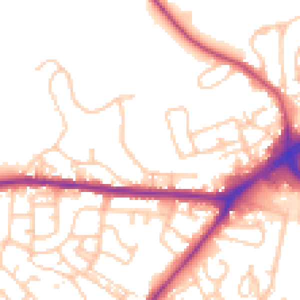
Daytime· 07:00 – 23:00
52.6dB

Night-time· 23:00 – 07:00
44.5dB