16 Bruce Street, Rochdale, OL11 3NH
About 16 Bruce Street
16 Bruce Street is a one-bedroom end-of-terrace house in Rochdale (OL11 3NH). It has a recorded floor area of 49 m² (around 527 sq ft), construction records dating it to 1950-1966 and council tax band A. Tenure is freehold. At 49 m² this is the 10th smallest of 27 units on EPC record in the building, where floor areas span 42–125 m². The building's EPC ratings span E to C, with this unit at the top. The latest certificate (October 2025) shows a C (score 77), near the top of the C band. The rating has held steady at C across 2 certificates since April 2014. Between certificates, window efficiency dropped from Good to Poor and lighting dropped from Very Good to Good.
Today's modelled estimate of £106,000 sits 125.5% above the 2014 sale of £47,000. On a £-per-square-foot basis, the last sale (£89/sq ft) was about 17.3% below the postcode norm. Last sold in July 2014, so it's been off the market for around 12 years.
What this property has
Inside
- Bedrooms1
- Bathrooms1
Building
- TenureFreehold
- Central heatingYes
Everything you need to know about 16 Bruce Street
The true value, the hidden risks and the full sale history, in one report.
30-day money-back guarantee

The data behind every report


Energy performance
16 Bruce Street's carbon output is low for the local stock.
EPC Rating
Planning history
16 Bruce Street has no planning applications on record.
Notable planning nearby
4applications of note in the surrounding area
We flagged 1 thing worth checking at 16 Bruce Street
Independent checks surfaced things a buyer would want to understand before offering. The report explains each one in full, with the underlying data and what to ask.
- Signs of HMO activity in the area
30-day money-back guarantee
Sales history & valuation
£106,000
Modelled from EPC, postcode comparables.
£47,000
Recorded with HM Land Registry.
Sales timeline
30 July 2014Most recent
£47,000
Median price across the last 5 sales in OL11 3NH: £200,000 (2025–2022).
Nearby sales in OL11 3NH
Versus other Bruce Street homes
On price per m², 16 Bruce Street runs well behind the street norm.
Price per m²
£959
Street avg £1,459
Floor Area
49 m²
Street avg 47 m²
Habitable Rooms
2 rooms
Street avg 2 rooms
CO₂ Emissions
1.3 t/year
Street avg 1.8 t/year
Everything you need to know about 16 Bruce Street
The true value, the hidden risks and the full sale history, in one report.
30-day money-back guarantee
The data behind every report
Similar properties nearby
The neighbourhood at a glance
Crime
1/mo
Steady year-on-year across the wider district.
Nearest stop
0.1 km
Sudden Street — bus stop.
Closest school
0.4 km
Marland Hill Community Primary School. 31 schools nearby.
Go deeper on the local area
The full report breaks down crime, transport links, schools and air quality in depth.
Road noise across the postcode
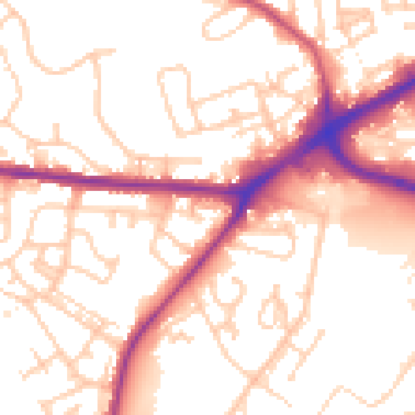
Daytime· 07:00 – 23:00
54.4dB

Night-time· 23:00 – 07:00
46.1dB