3 Henry Street, Rochdale, OL11 1EP
About 3 Henry Street
3 Henry Street is an end-of-terrace house in Rochdale (OL11 1EP). It has a recorded floor area of 133 m² (around 1432 sq ft), construction records dating it to 1930-1949 and council tax band A. The latest certificate (October 2022) shows an E (score 44), well below the UK norm with real room to improve. The recommended improvements would lift it to C (score 74), a 2-band jump.
At 133 m² the property is well over the postcode median (35 m² across 24 EPCs), placing it in the larger end of the local stock. On energy efficiency it sits in the bottom 10% of properties in this postcode — significant headroom for improvement. One planning record on file: partial demolition approved in 2023. Past consents include partial demolition, meaningful when judging how the property has evolved.
Everything you need to know about 3 Henry Street
The true value, the hidden risks and the full sale history, in one report.
30-day money-back guarantee

The data behind every report


Energy performance
3 Henry Street sits at the bottom of the postcode for energy efficiency — meaningful headroom to improve.
EPC Rating
Planning history
Planning history includes recorded demolition works, indicating a major rebuild phase at this address.
- Jul 2023DemolitionFullIn report
Erection of outbuilding following demolition of existing store
- Agent
- Building Design Services
- Documents
- 6 docs on file
- Reference
- 23/00291/HOUS
We flagged 2 things worth checking at 3 Henry Street
Independent checks surfaced things a buyer would want to understand before offering. The report explains each one in full, with the underlying data and what to ask.
- Signs of HMO activity in the area
- Larger development activity nearby
30-day money-back guarantee
Sales history & valuation
3 Henry Street has no Land Registry sales on file, suggesting it has stayed in the same hands since registration began.
£153,000
Modelled from EPC, postcode comparables.
No sales recorded with HM Land Registry
That can mean the property has never traded since the registry began publishing in 1995, was a new build that hasn't been registered yet, or is held in the same hands long-term.
Median price across the last 5 sales in OL11 1EP: £36,750 (2021–1997).
Everything you need to know about 3 Henry Street
The true value, the hidden risks and the full sale history, in one report.
30-day money-back guarantee
The data behind every report
Similar properties nearby
The neighbourhood at a glance
Rail-style transport is unusually close for this postcode.
Crime
1/mo
Steady year-on-year across the wider district.
Nearest stop
0.1 km
Milkstone Road — bus stop.
Closest school
0.2 km
St John's Roman Catholic Primary School, a Voluntary Academy. 36 schools nearby.
Go deeper on the local area
The full report breaks down crime, transport links, schools and air quality in depth.
Road noise across the postcode
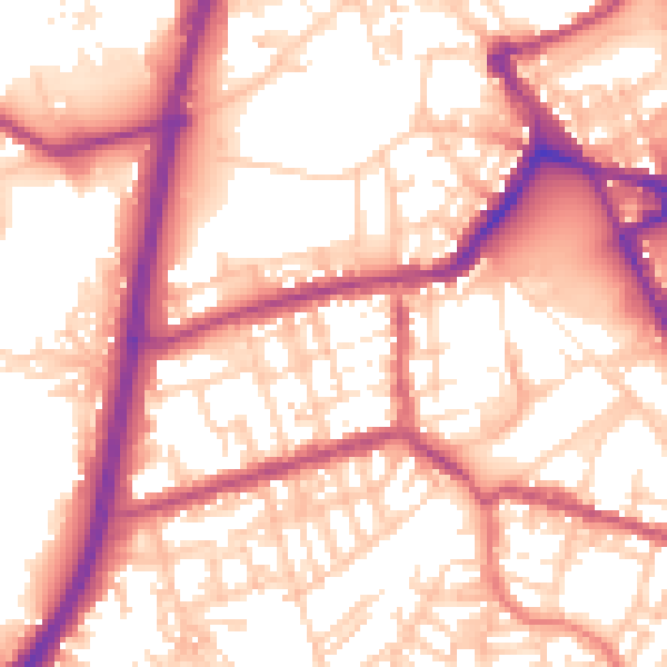
Daytime· 07:00 – 23:00
56.8dB

Night-time· 23:00 – 07:00
47.3dB