Flat 2, 2 Hermit Place, London, NW6 4BZ
About Flat 2
Flat 2 is a property in London (NW6 4BZ).
2 planning records sit against the property, 2 approved, 0 refused.
Energy performance
No EPC on record
This property doesn't have an Energy Performance Certificate yet. An EPC is required to sell or let — and unlocks our automated valuation.
Planning history
- Mar 2020ConditionsIn report
Variation of condition 3 (approved plans) of planning permission 2018/2544/P granted on 27th July 2018 (for Erection of mansard roof. Alterations to front fenestration at ground and first floor level), namely for altering front parapet and roof form, changing design of front windows and increasing fenestration width.
- Documents
- 6 docs on file
- Reference
- 2019/3917/P
- Jul 2018RenovationFullIn report
Erection of mansard roof. Alterations to front fenestration at ground and first floor level.
- Documents
- 8 docs on file
- Reference
- 2018/2544/P
Sales history & valuation
No sales recorded with HM Land Registry
That can mean the property has never traded since the registry began publishing in 1995, was a new build that hasn't been registered yet, or is held in the same hands long-term.
Median price across the last 2 sales in NW6 4BZ: £500,000 (2020–2012).
Nearby sales in NW6 4BZ
Similar properties nearby
106a, Flat A C, Kilburn High Road, Camden
NW6 4HY
106a, Flat A, Kilburn High Road
NW6 4HY
106a, Flat B, Kilburn High Road
NW6 4HY
106a, Flat C, Kilburn High Road
NW6 4HY
106b, Flat 1, Kilburn High Road
NW6 4HY
106b, Flat 2, Kilburn High Road
NW6 4HY
106b, Flat 3, Kilburn High Road
NW6 4HY
131 143, Apartment 1, Belsize Road, Camden
NW6 4BR
The neighbourhood at a glance
Rail-style transport is unusually close for this postcode.
Crime
8/mo
Rising year-on-year across the wider district.
Nearest stop
0.1 km
Priory Terrace — bus stop.
Closest school
0.3 km
St Mary's Kilburn Church of England Primary School. 77 schools nearby.
Road noise across the postcode
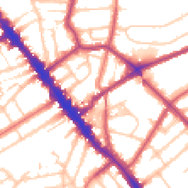
Daytime· 07:00 – 23:00
54.6dB
Night-time· 23:00 – 07:00
44.5dB