12 Kylemore Road, Camden, London, NW6 2PT
About 12 Kylemore Road
12 Kylemore Road is a property in Camden, London, London (NW6 2PT). It has council tax band F.
It hasn't traded since March 2002, a hold of 24 years that's notably long for the area.
Everything you need to know about 12 Kylemore Road
The true value, the hidden risks and the full sale history, in one report.
30-day money-back guarantee

The data behind every report


Energy performance
No EPC on record
This property doesn't have an Energy Performance Certificate yet. An EPC is required to sell or let — and unlocks our automated valuation.
Planning history
12 Kylemore Road has no planning applications on record.
The full report still covers planning activity across the surrounding area.
Sales history & valuation
£520,000
Recorded with HM Land Registry.
Sales timeline
21 March 2002Most recent
£520,000
Median price across the last 5 sales in NW6 2PT: £1,080,000 (2025–2021).
Nearby sales in NW6 2PT
32 Kylemore Road, Camden, London, NW6 2PT
Sold Aug 2025
£2,695,000Ground Floor Flat, 28 Kylemore Road, London, NW6 2PT
Sold Aug 2024
£1,080,00030 Kylemore Road, Camden, London, NW6 2PT
Sold Aug 2022
£1,980,00034 Kylemore Road, Camden, London, NW6 2PT
Sold Sept 2021
£850,00036 Kylemore Road, Camden, London, NW6 2PT
Sold Mar 2021
£680,000
Everything you need to know about 12 Kylemore Road
The true value, the hidden risks and the full sale history, in one report.
30-day money-back guarantee
The data behind every report
Similar properties nearby
1 Loveridge Mews, Camden
NW6 2DP
1 Rowntree Close, Camden
NW6 2NJ
10 Barlow Road, Camden
NW6 2BL
10 Iverson Road, Camden
NW6 2HE
10 Kylemore Road, Camden
NW6 2PT
10 Dynham Road, Camden
NW6 2NR
10 Linstead Street, Camden
NW6 2HB
10 Cotleigh Road, Camden
NW6 2NP
The neighbourhood at a glance
Rail-style transport is unusually close for this postcode.
Crime
8/mo
Rising year-on-year across the wider district.
Nearest stop
0.3 km
Compayne Gardens — bus stop.
Closest school
0.2 km
Kingsgate Primary School. 69 schools nearby.
Go deeper on the local area
The full report breaks down crime, transport links, schools and air quality in depth.
Road noise across the postcode
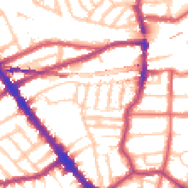
Daytime· 07:00 – 23:00
54.6dB

Night-time· 23:00 – 07:00
44.4dB