Southfleet, Flat 57, Malden Road, Camden, London, NW5 4DD
About Southfleet
Southfleet is a two-bedroom end-of-terrace house in Camden, London, London (NW5 4DD). It has a recorded floor area of 75 m² (around 807 sq ft), construction records dating it to 1976-1982 and council tax band B. At 75 m² this is the 33rd smallest of 35 units on EPC record in Southfleet, where floor areas span 42–85 m². The building's EPC ratings span D to C, with this unit at the top. Other recorded features include a balcony and a basement. The latest certificate (February 2014) shows a C (score 72). The latest certificate is from February 2014, so improvements made since then won't be reflected.
At 75 m² the property is well over the postcode median (48 m² across 34 EPCs), placing it in the larger end of the local stock. Sold February 2020 for £448,000. Across the public record there are 4 sales, relatively high churn for a single property. Across 2003–2020, sale prices on this property compounded at 6.4% per year. On a £-per-square-foot basis, the last sale (£555/sq ft) was about 45.4% above the typical sold price in the postcode.
Know exactly what you're buying at Southfleet
Before you offer, see what the listing won't tell you, the true value, the red flags and the full history.
Already flagged here
Valuation
against the asking price
Risks
planning & flood
Sold prices
similar homes nearby
Trends
the local market
What this property has
Inside
- Bedrooms2
- Bathrooms1
- Open-plan layoutYes
- StudyYes
- BasementYes
Outside
- BalconyYes
Energy performance
Southfleet's EPC is over a decade old — improvements since won't be reflected.
EPC Expired
This certificate is over 10 years old and is no longer valid.Expired 14 Feb 2024
EPC Rating
Planning history
Southfleet has no planning applications on record.
Notable planning nearby
1applications of note in the surrounding area
We flagged 1 thing worth checking at Southfleet
Independent checks surfaced things a buyer would want to understand before offering. The report explains each one in full, with the underlying data and what to ask.
- Larger development activity nearby
30-day money-back guarantee
Sales history & valuation
Sale price has at least doubled since 2003.
£442,000
Modelled from EPC, postcode comparables and a sale-price growth of 6.4% per year over 17 years.
£448,000
Growth on file: 6.4% per year over 17 years.
Sales timeline
27 February 2020Most recent
£448,000
-11.7%over 5 years14 August 2014
£507,500
+103.0%over 7 years10 September 2006
£250,000
+56.3%over 3 years17 July 2003
£159,995
Median price across the last 5 sales in NW5 4DD: £347,000 (2025–2012).
Nearby sales in NW5 4DD
Southfleet, Flat 35, Malden Road, Camden, London, NW5 4DD
Sold Feb 2025
£475,000Southfleet, Flat 56, Malden Road, Camden, London, NW5 4DD
Sold Jan 2024
£347,000Southfleet, Flat 44, Malden Road, Camden, London, NW5 4DD
Sold May 2014
£330,000Southfleet, Flat 17, Malden Road, Camden, London, NW5 4DD
Sold Mar 2008
£188,000Southfleet, Flat 13, Malden Road, Camden, London, NW5 4DD
Sold Dec 2007
£212,000
Everything we know about Southfleet, in one report
What it's really worth, what could be wrong, and the planning, sales and area data in full.
What we flagged
- Larger development activity nearby

Versus other Malden Road homes
Southfleet outperforms the street on floor area by a wide margin.
Price per m²
£5,973
Street avg £5,214
Floor Area
75 m²
Street avg 50 m²
Habitable Rooms
3 rooms
Street avg 2 rooms
CO₂ Emissions
2.4 t/year
Street avg 1.9 t/year
Similar properties nearby
110 114, Flat 4, Grafton Road, Camden
NW5 4BA
131a, Flat B, Queens Crescent, Camden
NW5 4EG
110 114, Flat 1, Grafton Road, Camden
NW5 4BA
110 114, Flat 11, Grafton Road, Camden
NW5 4BA
110 114, Flat 6, Grafton Road, Camden
NW5 4BA
110 114, Flat 9, Grafton Road, Camden
NW5 4BA
110 114, Flat 2, Grafton Road, Camden
NW5 4BA
110 114, Flat 7, Grafton Road, Camden
NW5 4BA
The neighbourhood at a glance
Rail-style transport is unusually close for this postcode.
Crime
11/mo
Rising year-on-year across the wider district.
Nearest stop
0.1 km
Queens Crescent — bus stop.
Closest school
0.2 km
Rhyl Community Primary School. 67 schools nearby.
Go deeper on the local area
The full report breaks down crime, transport links, schools and air quality in depth.
Road noise across the postcode
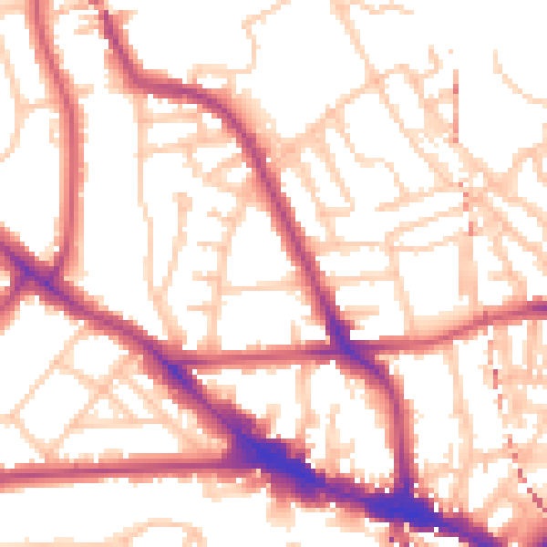
Daytime· 07:00 – 23:00
54.1dB

Night-time· 23:00 – 07:00
43.5dB