Southfleet, Flat 35, Malden Road, Camden, London, NW5 4DD
About Southfleet
Southfleet is a two-bedroom mid-terrace house in Camden, London, London (NW5 4DD). It has a recorded floor area of 73 m² (around 786 sq ft), construction records dating it to 1967-1975 and council tax band B. At 73 m² this is the 32nd smallest of 35 units on EPC record in Southfleet, where floor areas span 42–85 m². The building's EPC ratings span D to C, with this unit at the bottom. The latest certificate (July 2021) shows a D (score 68), on the cusp of jumping into the C band. Earlier certificates rated it C (July 2011); the latest reading is one band lower. Between certificates, lighting went from Poor to Very Good; while wall efficiency dropped from Good to Poor and hot-water efficiency dropped from Very Good to Good. The recommended improvements would push it to C (score 71).
At 73 m² the property is well over the postcode median (48 m² across 34 EPCs), placing it in the larger end of the local stock. It lags the bulk of the postcode on energy efficiency (less efficient than 82% of similar EPCs). Most recent transfer was February 2025 at £475,000 — fresh data. Across 2007–2025, sale prices on this property compounded at 3.6% per year. On a £-per-square-foot basis, the last sale (£605/sq ft) was about 57.5% above the typical sold price in the postcode.
Know exactly what you're buying at Southfleet
Before you offer, see what the listing won't tell you, the true value, the red flags and the full history.
Already flagged here
Valuation
against the asking price
Risks
planning & flood
Sold prices
similar homes nearby
Trends
the local market
What this property has
Inside
- Bedrooms2
- Bathrooms1
Energy performance
EPC Rating
Property Improvements
Changes detected from historical EPC data
Hot water efficiency decreased
More low energy lighting installed
Planning history
Southfleet has no planning applications on record.
Notable planning nearby
1applications of note in the surrounding area
We flagged 1 thing worth checking at Southfleet
Independent checks surfaced things a buyer would want to understand before offering. The report explains each one in full, with the underlying data and what to ask.
- Larger development activity nearby
30-day money-back guarantee
Sales history & valuation
Southfleet valuation sits well clear of the typical sold price in this postcode.
£460,000
Modelled from EPC, postcode comparables and a sale-price growth of 3.6% per year over 18 years.
£475,000
Growth on file: 3.6% per year over 18 years.
Sales timeline
21 February 2025Most recent
£475,000
+58.4%over 13 years31 January 2012
£299,950
+20.0%over 5 years11 January 2007
£250,000
Median price across the last 5 sales in NW5 4DD: £355,000 (2024–2014).
Nearby sales in NW5 4DD
Southfleet, Flat 56, Malden Road, Camden, London, NW5 4DD
Sold Jan 2024
£347,000Southfleet, Flat 57, Malden Road, Camden, London, NW5 4DD
Sold Feb 2020
£448,000Southfleet, Flat 44, Malden Road, Camden, London, NW5 4DD
Sold May 2014
£330,000Southfleet, Flat 17, Malden Road, Camden, London, NW5 4DD
Sold Mar 2008
£188,000Southfleet, Flat 13, Malden Road, Camden, London, NW5 4DD
Sold Dec 2007
£212,000
Everything we know about Southfleet, in one report
What it's really worth, what could be wrong, and the planning, sales and area data in full.
What we flagged
- Larger development activity nearby

Versus other Malden Road homes
Southfleet is notably below the street on years held.
Price per m²
£6,507
Street avg £5,125
Floor Area
73 m²
Street avg 50 m²
Habitable Rooms
4 rooms
Street avg 2 rooms
CO₂ Emissions
2.9 t/year
Street avg 1.9 t/year
Similar properties nearby
110 114, Flat 4, Grafton Road, Camden
NW5 4BA
110 114, Flat 1, Grafton Road, Camden
NW5 4BA
110 114, Flat 11, Grafton Road, Camden
NW5 4BA
110 114, Flat 6, Grafton Road, Camden
NW5 4BA
110 114, Flat 9, Grafton Road, Camden
NW5 4BA
131a, Flat B, Queens Crescent, Camden
NW5 4EG
110 114, Flat 2, Grafton Road, Camden
NW5 4BA
110 114, Flat 7, Grafton Road, Camden
NW5 4BA
The neighbourhood at a glance
Rail-style transport is unusually close for this postcode.
Crime
11/mo
Rising year-on-year across the wider district.
Nearest stop
0.1 km
Queens Crescent — bus stop.
Closest school
0.2 km
Rhyl Community Primary School. 67 schools nearby.
Go deeper on the local area
The full report breaks down crime, transport links, schools and air quality in depth.
Road noise across the postcode
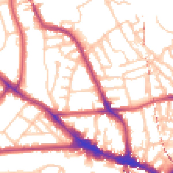
Daytime· 07:00 – 23:00
54.1dB

Night-time· 23:00 – 07:00
43.5dB