4 Elm Walk, Barnet, London, NW3 7UP
About 4 Elm Walk
4 Elm Walk is a six-bedroom detached house in Barnet, London, London (NW3 7UP). It has a recorded floor area of 206 m² (around 2217 sq ft), construction records dating it to 1967-1975 and council tax band H. The latest certificate (May 2024) shows a D (score 64), on the cusp of jumping into the C band. The recommended improvements would push it to C (score 80).
Today's modelled estimate of £3,109,000 is 18.2% below the 2008 sale of £3,800,000, running counter to the wider postcode trend, which makes the EPC and condition history especially worth a look. On a £-per-square-foot basis, the last sale (£1,714/sq ft) was about 38.6% above the typical sold price in the postcode. Held since March 2008 — that's 18 years off the open market, well above the local norm. That sale landed at the peak of the pre-credit-crunch market, which is a useful reference point when interpreting the price. At 206 m² it sits well below the postcode median (336 m² across 9 EPCs), making it one of the more compact homes locally. 10 planning records sit against the property, 6 approved, 1 refused. Past consents include tree works, an extension and a loft conversion, meaningful when judging how the property has evolved.
Know exactly what you're buying at 4 Elm Walk
Before you offer, see what the listing won't tell you, the true value, the red flags and the full history.
Already flagged here
Valuation
against the asking price
Risks
planning & flood
Sold prices
similar homes nearby
Trends
the local market
What this property has
Inside
- Bedrooms6
- Bathrooms3
- Dining roomYes
Outside
- Private gardenRear
- GarageYes
Energy performance
4 Elm Walk's carbon output runs well above what efficient homes in the postcode produce.
EPC Rating
Planning history
4 Elm Walk has 2 separate extension applications on the council record.
- Feb 2024Tree WorksTreesIn report
1 x Turkey Oak - Remove the whole eastern stem at the point of separation of the stems of the tree. Reduce top of crown by maximum 3m. Reduce north and west of side crown by maximum of 3m to relieve encroachment towards numbers 5 and 7 Westover Hill. Reduce lowest branch to south by 4m maximum and rest of south side crown by 3m maximum. Standing in T8 of Tree Preservation Order.
- Agent
- A G Mitchell Countryside
- Documents
- 6 docs on file
- Reference
- TPP/0872/23
- Jul 2023Tree WorksTreesIn report
1 x Oak - Remove fallen branch. Standing in T8 of Tree Preservation Order. Exempt Works.
- Documents
- 2 docs on file
- Reference
- TPP/0412/23
We flagged 1 thing worth checking at 4 Elm Walk
Independent checks surfaced things a buyer would want to understand before offering. The report explains each one in full, with the underlying data and what to ask.
- Larger development activity nearby
30-day money-back guarantee
Sales history & valuation
The latest sale landed at the peak of the pre-credit-crunch market — a high-water reference point.
£3,109,000
Modelled from EPC, postcode comparables.
£3,800,000
Recorded with HM Land Registry.
Sales timeline
27 March 2008Most recent
£3,800,000
Median price across the last 5 sales in NW3 7UP: £7,000,000 (2024–2014).
Nearby sales in NW3 7UP
Everything we know about 4 Elm Walk, in one report
What it's really worth, what could be wrong, and the planning, sales and area data in full.
What we flagged
- Larger development activity nearby

Versus other Elm Walk homes
On floor area, 4 Elm Walk runs well behind the street norm.
Price per m²
£18,447
Street avg £12,694
Floor Area
206 m²
Street avg 356 m²
Habitable Rooms
9 rooms
Street avg 9 rooms
CO₂ Emissions
7.6 t/year
Street avg 11.7 t/year
Similar properties nearby
1 Parfitt Close, Camden
NW3 7HW
1 Hollycroft Avenue, Camden
NW3 7QG
1 Kidderpore Avenue, Camden
NW3 7SX
1 Elm Walk, Barnet
NW3 7UP
1 Redington Road, Camden
NW3 7QX
1 Firecrest Drive, Camden
NW3 7ND
1 Oak Hill Way, Camden
NW3 7LR
1 Frognal Lane, Camden
NW3 7DY
The neighbourhood at a glance
Rail-style transport is unusually close for this postcode.
Crime
6/mo
Rising year-on-year across the wider district.
Nearest stop
0.4 km
Llanvanor Road — bus stop.
Closest school
0.7 km
All Saints' CofE Primary School NW2. 47 schools nearby.
Go deeper on the local area
The full report breaks down crime, transport links, schools and air quality in depth.
Road noise across the postcode
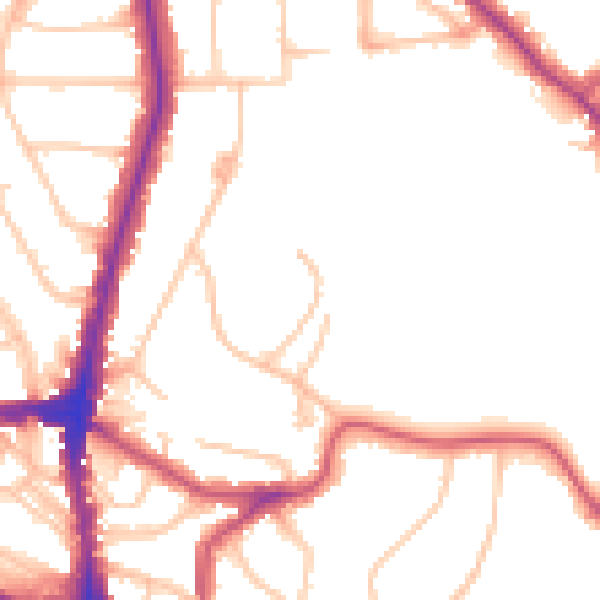
Daytime· 07:00 – 23:00
50.6dB

Night-time· 23:00 – 07:00
41.5dB