11 Birchwood Drive, Camden, London, NW3 7NB
About 11 Birchwood Drive
11 Birchwood Drive is a detached house in Camden, London, London (NW3 7NB). It has a recorded floor area of 580 m² (around 6243 sq ft), construction records dating it to 1983-1990 and council tax band H. The latest certificate (December 2025) shows a C (score 70). This certificate was lodged in the last six months, so the rating reflects current condition.
Held since June 1998 — that's 28 years off the open market, well above the local norm. Only one transfer is on record with HM Land Registry, suggesting it has stayed in the same hands for a long time. At 580 m² the property is well over the postcode median (239 m² across 6 EPCs), placing it in the larger end of the local stock. Today's modelled estimate of £11,769,000 sits 602.6% above the 1998 sale of £1,675,000. On a £-per-square-foot basis, the last sale (£268/sq ft) was about 67.1% below the postcode norm. 6 planning records sit against the property, 3 approved, 0 refused. Past consents include tree works, meaningful when judging how the property has evolved.
Know exactly what you're buying at 11 Birchwood Drive
Before you offer, see what the listing won't tell you, the true value, the red flags and the full history.
Already flagged here
Valuation
against the asking price
Risks
planning & flood
Sold prices
similar homes nearby
Trends
the local market
Energy performance
11 Birchwood Drive's carbon output runs well above what efficient homes in the postcode produce.
EPC Rating
Planning history
Planning history at 11 Birchwood Drive is exclusively tree-management applications — typical for a property with mature trees on or near the plot.
- Feb 2023Tree WorksTreesIn report
REAR GARDEN: 1 x Sycamore (T1) - Pollard to 8m. 1 x Sycamore (T2) - Re-pollard to the previous points. SIDE GARDEN: 1 x Sycamore (T3) - 1m reduction. 1 x Sycamore (T4) - Reduce the 3 limbs growing over communal gardens by 2m.
- Documents
- 2 docs on file
- Reference
- 2022/5353/T
- Jan 2013Tree WorksTreesIn report
(TPO Ref: C100) REAR GARDEN: 1 x Sycamore - Reduce all over by 30%.
- Documents
- 2 docs on file
- Reference
- 2012/6710/T
We flagged 1 thing worth checking at 11 Birchwood Drive
Independent checks surfaced things a buyer would want to understand before offering. The report explains each one in full, with the underlying data and what to ask.
- Larger development activity nearby
30-day money-back guarantee
Sales history & valuation
11 Birchwood Drive's modelled value sits at over four times its earliest registered sale price (1998).
£11,769,000
Modelled from EPC, postcode comparables.
£1,675,000
Recorded with HM Land Registry.
Sales timeline
30 June 1998Most recent
£1,675,000
Median price across the last 5 sales in NW3 7NB: £2,700,000 (2022–2012).
Nearby sales in NW3 7NB
4 Birchwood Drive, Camden, London, NW3 7NB
Sold Jan 2022
£3,625,0003 Birchwood Drive, Camden, London, NW3 7NB
Sold Jan 2020
£1,994,9509 Birchwood Drive, Camden, London, NW3 7NB
Sold Apr 2015
£2,700,0005 Birchwood Drive, Camden, London, NW3 7NB
Sold Mar 2012
£2,700,0001 Birchwood Drive, Camden, London, NW3 7NB
Sold Aug 2008
£2,975,000
Everything we know about 11 Birchwood Drive, in one report
What it's really worth, what could be wrong, and the planning, sales and area data in full.
What we flagged
- Larger development activity nearby

Versus other Birchwood Drive homes
On price per m², 11 Birchwood Drive runs well behind the street norm.
Price per m²
£2,888
Street avg £9,743
Floor Area
580 m²
Street avg 243 m²
Habitable Rooms
13 rooms
Street avg 8 rooms
CO₂ Emissions
14.0 t/year
Street avg 7.6 t/year
Similar properties nearby
1 Oak Hill Way, Camden
NW3 7LR
1 Elm Walk, Barnet
NW3 7UP
1 Hollycroft Avenue, Camden
NW3 7QG
1 Kidderpore Avenue, Camden
NW3 7SX
1 Parfitt Close, Camden
NW3 7HW
1 Frognal Lane, Camden
NW3 7DY
1 Eden Close, Barnet
NW3 7UL
1 Birchwood Drive, Camden
NW3 7NB
The neighbourhood at a glance
Rail-style transport is unusually close for this postcode.
Crime
6/mo
Rising year-on-year across the wider district.
Nearest stop
0.4 km
Whitestone Pond / Jack Straw's Castle — bus stop.
Closest school
0.6 km
Hampstead Parochial Church of England Primary School. 51 schools nearby.
Go deeper on the local area
The full report breaks down crime, transport links, schools and air quality in depth.
Road noise across the postcode
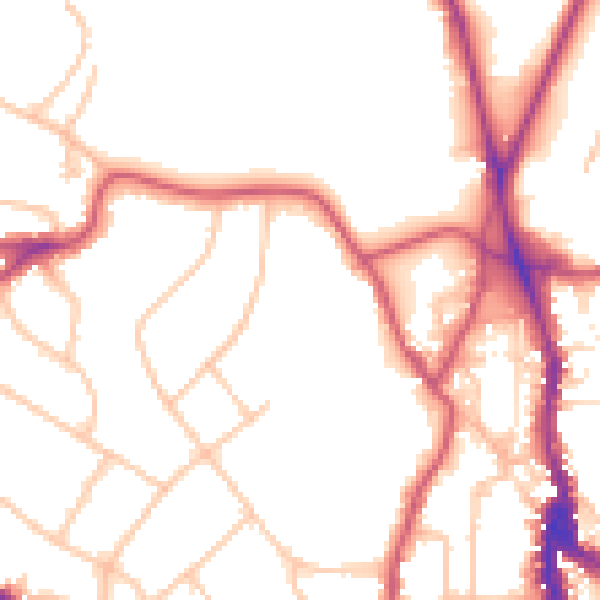
Daytime· 07:00 – 23:00
51.1dB

Night-time· 23:00 – 07:00
41.1dB