7 Aldred Court, Beccles, NR34 9BW
About 7 Aldred Court
7 Aldred Court is a detached house in Beccles (NR34 9BW). It has a recorded floor area of 71 m² (around 764 sq ft). The latest certificate (July 2019) shows a C (score 77), near the top of the C band. The recommended improvements would lift it to A (score 93), a 2-band jump. Main heating runs on electricity: electricity, unspecified tariff.
At 71 m² it sits well below the postcode median (106 m² across 6 EPCs), making it one of the more compact homes locally.
Know exactly what you're buying at 7 Aldred Court
Before you offer, see what the listing won't tell you, the true value, the red flags and the full history.
Valuation
against the asking price
Risks
planning & flood
Sold prices
similar homes nearby
Trends
the local market
Energy performance
Recommended upgrades on file would lift this property by multiple EPC bands.
EPC Rating
Planning history
7 Aldred Court has no planning applications on record.
Notable planning nearby
1applications of note in the surrounding area
Sales history & valuation
7 Aldred Court has no Land Registry sales on file, suggesting it has stayed in the same hands since registration began.
£238,000
Modelled from EPC, postcode comparables.
No sales recorded with HM Land Registry
That can mean the property has never traded since the registry began publishing in 1995, was a new build that hasn't been registered yet, or is held in the same hands long-term.
Everything we know about 7 Aldred Court, in one report
What it's really worth, what could be wrong, and the planning, sales and area data in full.
- Am I paying too much?
- Is something wrong with it?
- Is the agent's story true?
- Will it hold its value?

Versus other Aldred Court homes
Floor Area for 7 Aldred Court lags the street by a wide margin.
EPC Rating
77 (C)
Street avg 85 (B)
Floor Area
71 m²
Street avg 106 m²
CO₂ Emissions
1.7 t/year
Street avg 1.7 t/year
Similar properties nearby
The neighbourhood at a glance
Rail-style transport is unusually close for this postcode.
Crime
3/mo
Steady year-on-year across the wider district.
Nearest stop
0.1 km
Fen Lane — bus stop.
Closest school
1.1 km
St Benet's Catholic Primary School. 8 schools nearby.
Go deeper on the local area
The full report breaks down crime, transport links, schools and air quality in depth.
Road noise across the postcode
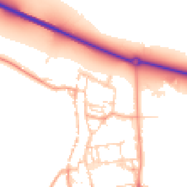
Daytime· 07:00 – 23:00
52.4dB

Night-time· 23:00 – 07:00
44.6dB