South Way, The Common, West Runton, Cromer, NR27 9QE
About South Way
South Way is a property in West Runton, Cromer, Cromer (NR27 9QE). It has council tax band D.
12 planning records sit against the property, 3 approved, 1 refused. Past consents include an extension and a conservatory, meaningful when judging how the property has evolved. Across 2008–2022, sale prices on this property compounded at 10.2% per year. Last sale on file: £895,000 in January 2022. That sale was during the post-pandemic price surge, when transactions cleared materially above pre-2020 trend.
Know exactly what you're buying at South Way
Before you offer, see what the listing won't tell you, the true value, the red flags and the full history.
Already flagged here
Valuation
against the asking price
Risks
planning & flood
Sold prices
similar homes nearby
Trends
the local market
Energy performance
No EPC on record
This property doesn't have an Energy Performance Certificate yet. An EPC is required to sell or let — and unlocks our automated valuation.
Planning history
South Way has 3 separate extension applications on the council record.
- Apr 2025Tree WorksTreesIn report
T1 Oak - Reduce low, over-extending branch over outbuilding on east side of canopy by up to 4.5m T2 Field Maple and Oak - Reduce lateral growth on south side of these two small trees by up to 2m to provide adequate clearance from property T3 Birch - Reduce branches around/over satellite dish by up to 2m to provide adequate clearance T4 Oak - Reduce lateral growth on north side of canopy by up to 3m to provide adequate clearance over roof of property
- Agent
- Ben Dixon
- Documents
- 3 docs on file
- Reference
- TW/25/0681
- Dec 2022Tree WorksTreesIn report
T1-remove ivy covered shrub overhanging the gate T2-thin the canopy of an oak next to the clients property by 50-60 percent removing inner growth T3-crown raise oak off the shed roof by 1-2 meters T4-remove epicormic growth from an alder, and another but on the aerial map I cannot find both individual trees T5-remove dead from an oak T6 - crown raise an oak by 1-2 meters from roof and reduce over extending branches by 1-2 meters helping the tree balance out more
- Agent
- JAF Tree Services
- Documents
- 3 docs on file
- Reference
- TW/22/2669
We flagged 1 thing worth checking at South Way
Independent checks surfaced things a buyer would want to understand before offering. The report explains each one in full, with the underlying data and what to ask.
- Larger development activity nearby
30-day money-back guarantee
Sales history & valuation
Latest sale on South Way was the highest on Land Registry record across the postcode.
£895,000
Growth on file: 10.2% per year over 13 years.
Sales timeline
5 January 2022Most recent
£895,000
+258.0%over 13 years5 December 2008
£250,000
Median price across the last 5 sales in NR27 9QE: £195,000 (2020–2000).
Nearby sales in NR27 9QE
1 Orchard Cottages, The Common, West Runton, Cromer, NR27 9QE
Sold Oct 2020
£375,000St Josephs, The Common, West Runton, Cromer, NR27 9QE
Sold Dec 2016
£260,000Ash Lea, The Common, West Runton, Cromer, NR27 9QE
Sold Aug 2002
£155,000Hurlingham House, The Common, West Runton, Cromer, NR27 9QE
Sold Dec 1998
£116,0002 Orchard Cottages, The Common, West Runton, Cromer, NR27 9QE
Sold Jun 1996
£49,950
Everything we know about South Way, in one report
What it's really worth, what could be wrong, and the planning, sales and area data in full.
What we flagged
- Larger development activity nearby

Similar properties nearby
1 Bernard Road
NR27 9AW
1 Church Cottages, Cromer Road, West Runton
NR27 9QU
1 Arbor Hill
NR27 9DN
1 Clifton Park
NR27 9BE
1 Burnt Hills Wood, Roughton Road
NR27 9LN
1 Bittern Rise
NR27 9GU
1 Burnt Hills
NR27 9LW
1 Charlottes Close, The Hurn, West Runton
NR27 9QS
The neighbourhood at a glance
Rail-style transport is unusually close for this postcode.
Crime
3/mo
Steady year-on-year across the wider district.
Nearest stop
0.1 km
West Runton Rail Station — railway station.
Closest school
2.9 km
Sheringham Community Primary School. 1 school nearby.
Go deeper on the local area
The full report breaks down crime, transport links, schools and air quality in depth.
Road noise across the postcode
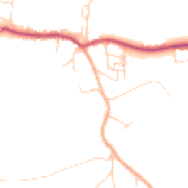
Daytime· 07:00 – 23:00
45.8dB

Night-time· 23:00 – 07:00
37.9dB