10 12, Flat 2, Garden Street, Cromer, NR27 9HN
About 10 12
10 12 is a detached house in Cromer (NR27 9HN). It has a recorded floor area of 68 m² (around 732 sq ft) and construction records dating it to before 1900. The latest certificate (October 2020) shows an E (score 42), well below the UK norm with real room to improve. When first surveyed in March 2009 the rating was F, the property has climbed 1 band since. Between certificates, wall efficiency went from Very Poor to Poor, lighting went from Poor to Very Good and main heating went from Poor to Average; while roof efficiency dropped from Average to Poor and window efficiency dropped from Poor to Very Poor. The recommended improvements would lift it to C (score 78), a 2-band jump. Main heating runs on electricity. At 68 m² this is the 3rd smallest of 5 units on EPC record in 10 12, where floor areas span 51–78 m². The building's EPC ratings span E to D, with this unit at the bottom. On EPC score it ranks last in the building (42 versus a best of 65).
Across 2022–2022, sale prices on this property compounded at -66.5% per year. Today's modelled estimate of £212,000 is 25.6% below the 2022 sale of £285,000, an unusual pattern given regional price growth and worth checking against the EPC condition. On a £-per-square-foot basis, the last sale (£389/sq ft) was about 105.3% above the typical sold price in the postcode. It lags the bulk of the postcode on energy efficiency (less efficient than 84% of similar EPCs). 4 planning records sit against the property, 3 approved, 0 refused. Last sale on file: £285,000 in November 2022. That sale was during the post-pandemic price surge, when transactions cleared materially above pre-2020 trend.
Know exactly what you're buying at 10 12
Before you offer, see what the listing won't tell you, the true value, the red flags and the full history.
Already flagged here
Valuation
against the asking price
Risks
planning & flood
Sold prices
similar homes nearby
Trends
the local market
Energy performance
10 12's carbon output runs well above what efficient homes in the postcode produce.
EPC Rating
Property Improvements
Changes detected from historical EPC data
Wall insulation improved
More low energy lighting installed
Planning history
- Mar 2018FullIn report
Installation of 3no. external floor standing condensers
- Documents
- 15 docs on file
- Reference
- PF/17/1632
- Nov 2017AdvertisingIn report
Display of fascia sign (non-illuminated) and two window vinyls
- Documents
- 8 docs on file
- Reference
- ADV/17/1631
We flagged 1 thing worth checking at 10 12
Independent checks surfaced things a buyer would want to understand before offering. The report explains each one in full, with the underlying data and what to ask.
- Larger development activity nearby
30-day money-back guarantee
Sales history & valuation
The latest sale landed in the post-pandemic price surge — useful context when reading the figure.
£212,000
Modelled from EPC, postcode comparables and a sale-price growth of -66.5% per year over 1 year.
£285,000
Growth on file: -66.5% per year over 1 year.
Sales timeline
2 November 2022Most recent
£285,000
-66.5%2 November 2022
£850,000
Median price across the last 5 sales in NR27 9HN: £265,000 (2024–2016).
Nearby sales in NR27 9HN
Everything we know about 10 12, in one report
What it's really worth, what could be wrong, and the planning, sales and area data in full.
What we flagged
- Larger development activity nearby

Versus other Garden Street homes
10 12 outperforms the street on price per m² by a wide margin.
Price per m²
£12,500
Street avg £3,649
Floor Area
68 m²
Street avg 76 m²
Habitable Rooms
3 rooms
Street avg 3 rooms
CO₂ Emissions
7.2 t/year
Street avg 4.2 t/year
Similar properties nearby
10 12, Flat 3, Garden Street
NR27 9HN
19 21, Flat 2, Cross Street
NR27 9DE
19 21, Flat 3, Cross Street
NR27 9DE
10 Regency Flats, New Street
NR27 9HP
10 12, Flat 7, Garden Street
NR27 9HN
2 East Cliff Flats, Tucker Street
NR27 9HA
10 12, Flat 6, Garden Street
NR27 9HN
14 East Cliff Flats, Tucker Street
NR27 9HA
The neighbourhood at a glance
Rail-style transport is unusually close for this postcode.
Crime
3/mo
Steady year-on-year across the wider district.
Nearest stop
0.5 km
Cromer Rail Station — railway station.
Closest school
1.0 km
Cromer Academy. 4 schools nearby.
Go deeper on the local area
The full report breaks down crime, transport links, schools and air quality in depth.
Road noise across the postcode
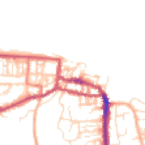
Daytime· 07:00 – 23:00
50.9dB
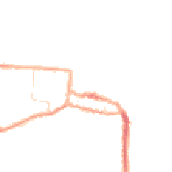
Night-time· 23:00 – 07:00
41.4dB