19 Norwich Road, Cromer, NR27 0AZ
About 19 Norwich Road
19 Norwich Road is a four-bedroom detached house in Cromer (NR27 0AZ). It has a recorded floor area of 163 m² (around 1755 sq ft), construction records dating it to 1930-1949 and council tax band E. The latest certificate (April 2024) shows a C (score 72). When first surveyed in June 2010 the rating was E, the property has climbed 2 bands since. Between certificates, wall efficiency went from Very Poor to Good, roof efficiency went from Average to Good and hot-water efficiency went from Poor to Good. The recommended improvements would push it to B (score 81).
At 163 m² the property is well over the postcode median (79 m² across 31 EPCs), placing it in the larger end of the local stock. Its energy rating outperforms most of the postcode (better than 74% of similar EPCs). One planning record on file: an extension approved in 2003. Past consents include an extension and a conservatory, meaningful when judging how the property has evolved. Across 1997–2024, sale prices on this property compounded at 10.4% per year. On a £-per-square-foot basis, the last sale (£319/sq ft) was about 209% above the typical sold price in the postcode. Most recent transfer: October 2024 at £560,000.
Know exactly what you're buying at 19 Norwich Road
Before you offer, see what the listing won't tell you, the true value, the red flags and the full history.
Already flagged here
Valuation
against the asking price
Risks
planning & flood
Sold prices
similar homes nearby
Trends
the local market
What this property has
Inside
- Bedrooms4
- Bathrooms2
- Dining roomYes
- CloakroomYes
- EnsuiteYes
- FireplaceYes
Outside
- Private gardenYes
Building
- Heating systemGas
Energy performance
EPC Rating
Property Improvements
Changes detected from historical EPC data
Hot water system upgraded
Wall insulation improved
Roof insulation improved
More low energy lighting installed
Planning history
19 Norwich Road has an approved rear extension on the planning record.
- Jul 2003ConservatoryFullIn report
Extension: Rear of property
ERECTION OF REAR CONSERVATORY
Extension- Reference
- PF/03/0978
We flagged 1 thing worth checking at 19 Norwich Road
Independent checks surfaced things a buyer would want to understand before offering. The report explains each one in full, with the underlying data and what to ask.
- Larger development activity nearby
30-day money-back guarantee
Sales history & valuation
Latest sale on 19 Norwich Road was the highest on Land Registry record across the postcode.
£558,000
Modelled from EPC, postcode comparables and a sale-price growth of 10.4% per year over 27 years.
£560,000
Growth on file: 10.4% per year over 27 years.
Sales timeline
17 October 2024Most recent
£560,000
+33.3%over 6 years20 August 2018
£420,000
+82.6%over 7 years28 October 2010
£230,000
+505.3%over 13 years22 September 1997
£38,000
Median price across the last 5 sales in NR27 0AZ: £200,000 (2025–2021).
Nearby sales in NR27 0AZ
Flat 4, 7 Norwich Road, Cromer, NR27 0AZ
Sold Oct 2025
£155,00027a, Norwich Road, Cromer, NR27 0AZ
Sold Sept 2024
£490,000Redbourne, Flat 3, 23 Norwich Road, Cromer, NR27 0AZ
Sold May 2024
£147,5003 Norwich Road, Cromer, NR27 0AZ
Sold Oct 2022
£530,000Redbourne, Flat 5, 23 Norwich Road, Cromer, NR27 0AZ
Sold Sept 2021
£200,000
Everything we know about 19 Norwich Road, in one report
What it's really worth, what could be wrong, and the planning, sales and area data in full.
What we flagged
- Larger development activity nearby

Versus other Norwich Road homes
19 Norwich Road is notably below the street on years held.
Price per m²
£3,436
Street avg £1,898
Floor Area
163 m²
Street avg 133 m²
Habitable Rooms
7 rooms
Street avg 6 rooms
CO₂ Emissions
5.4 t/year
Street avg 6.0 t/year
Similar properties nearby
1 Cromer Road, Overstrand
NR27 0NU
1 Alexandra Road
NR27 0JB
1 Cliff Drive
NR27 0AW
1 Carrington Road
NR27 0DU
1 Bracken End, Bracken Avenue, Overstrand
NR27 0PA
1 Beach Close, Overstrand
NR27 0PJ
1 Bridge Close
NR27 0FJ
1 Ashdown Court
NR27 0AE
The neighbourhood at a glance
Rail-style transport is unusually close for this postcode.
Crime
3/mo
Steady year-on-year across the wider district.
Nearest stop
0.7 km
Cromer Rail Station — railway station.
Closest school
0.6 km
Cromer Academy. 4 schools nearby.
Go deeper on the local area
The full report breaks down crime, transport links, schools and air quality in depth.
Road noise across the postcode
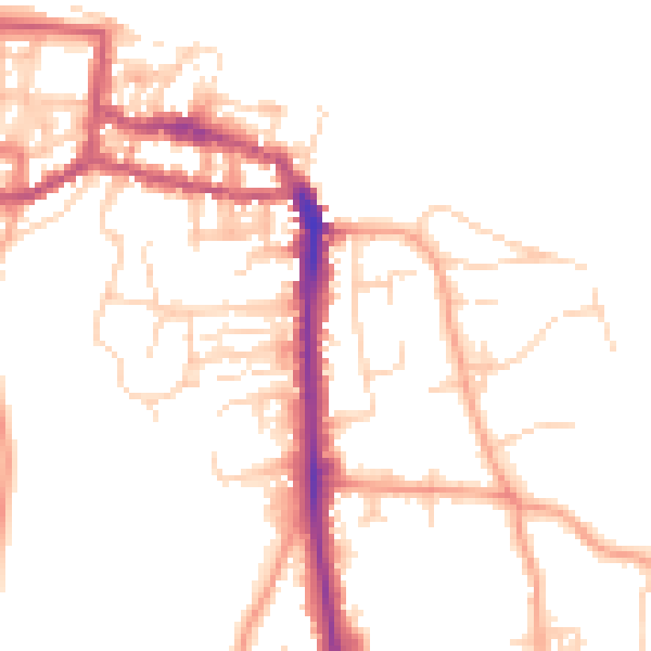
Daytime· 07:00 – 23:00
49.4dB

Night-time· 23:00 – 07:00
39.9dB