40 Mill Road, Cromer, NR27 0AD
About 40 Mill Road
40 Mill Road is a detached house in Cromer (NR27 0AD). It has a recorded floor area of 81 m² (around 872 sq ft), construction records dating it to 1930-1949 and council tax band C. The latest certificate (October 2025) shows a D (score 61), on the cusp of jumping into the C band. The recommended improvements would push it to C (score 74).
One historical planning record sits against the property in 2017.
Know exactly what you're buying at 40 Mill Road
Before you offer, see what the listing won't tell you, the true value, the red flags and the full history.
Already flagged here
Valuation
against the asking price
Risks
planning & flood
Sold prices
similar homes nearby
Trends
the local market
Energy performance
EPC Rating
Planning history
- Nov 2017Tree WorksTreesIn report
To prune back branches from ash tree
- Agent
- B Allen Tree Services
- Reference
- TW/17/0554
We flagged 1 thing worth checking at 40 Mill Road
Independent checks surfaced things a buyer would want to understand before offering. The report explains each one in full, with the underlying data and what to ask.
- Larger development activity nearby
30-day money-back guarantee
Sales history & valuation
40 Mill Road has no Land Registry sales on file, suggesting it has stayed in the same hands since registration began.
£332,000
Modelled from EPC, postcode comparables.
No sales recorded with HM Land Registry
That can mean the property has never traded since the registry began publishing in 1995, was a new build that hasn't been registered yet, or is held in the same hands long-term.
Median price across the last 5 sales in NR27 0AD: £260,000 (2025–2024).
Everything we know about 40 Mill Road, in one report
What it's really worth, what could be wrong, and the planning, sales and area data in full.
What we flagged
- Larger development activity nearby

Versus other Mill Road homes
40 Mill Road outperforms the street on co₂ emissions by a wide margin.
EPC Rating
61 (D)
Street avg 59 (D)
Floor Area
81 m²
Street avg 96 m²
CO₂ Emissions
3.4 t/year
Street avg 5.1 t/year
Habitable Rooms
5 rooms
Street avg 5 rooms
Similar properties nearby
1 Aldis Close
NR27 0JF
1 Court Drive
NR27 0BB
1 Bridge Close
NR27 0FJ
1 Church Close, Overstrand
NR27 0NY
1 Church Farm House, Starling Rise, Sidestrand
NR27 0NJ
1 Christophers Close, Northrepps
NR27 0GA
1 Beach Close, Overstrand
NR27 0PJ
1 Craft Lane, Northrepps
NR27 0LL
The neighbourhood at a glance
Rail-style transport is unusually close for this postcode.
Crime
3/mo
Steady year-on-year across the wider district.
Nearest stop
0.8 km
Roughton Road Rail Station — railway station.
Closest school
0.1 km
Suffield Park Infant and Nursery School, Cromer. 5 schools nearby.
Go deeper on the local area
The full report breaks down crime, transport links, schools and air quality in depth.
Road noise across the postcode
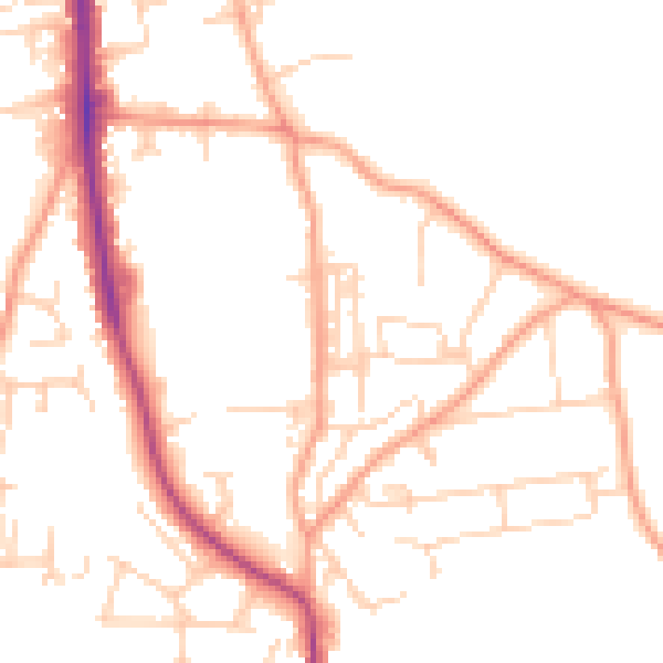
Daytime· 07:00 – 23:00
49.3dB

Night-time· 23:00 – 07:00
40.0dB