13 New Road, Sheringham, NR26 8EB
About 13 New Road
13 New Road is a three-bedroom property in Sheringham (NR26 8EB). It has council tax band B.
Held since July 2008 — that's 18 years off the open market, well above the local norm. That sale landed at the peak of the pre-credit-crunch market, which is a useful reference point when interpreting the price.
Know exactly what you're buying at 13 New Road
Before you offer, see what the listing won't tell you, the true value, the red flags and the full history.
Already flagged here
Valuation
against the asking price
Risks
planning & flood
Sold prices
similar homes nearby
Trends
the local market
What this property has
Inside
- Bedrooms3
Energy performance
No EPC on record
This property doesn't have an Energy Performance Certificate yet. An EPC is required to sell or let — and unlocks our automated valuation.
Planning history
13 New Road has no planning applications on record.
Notable planning nearby
2applications of note in the surrounding area
We flagged 1 thing worth checking at 13 New Road
Independent checks surfaced things a buyer would want to understand before offering. The report explains each one in full, with the underlying data and what to ask.
- Larger development activity nearby
30-day money-back guarantee
Sales history & valuation
The latest sale landed at the peak of the pre-credit-crunch market — a high-water reference point.
£168,000
Recorded with HM Land Registry.
Sales timeline
10 July 2008Most recent
£168,000
Median price across the last 5 sales in NR26 8EB: £245,000 (2025–2024).
Everything we know about 13 New Road, in one report
What it's really worth, what could be wrong, and the planning, sales and area data in full.
What we flagged
- Larger development activity nearby

Similar properties nearby
1 Barchams Yard
NR26 8JS
1 Bedford Mews, Norfolk Road
NR26 8HD
1 Birch Grove
NR26 8NT
1 Ash Grove
NR26 8PT
1 Augusta Court
NR26 8AH
1 Caxton Close, Beeston Regis
NR26 8SU
1 Acacia Grove
NR26 8PA
1 Bramble Drive
NR26 8XH
The neighbourhood at a glance
Rail-style transport is unusually close for this postcode.
Crime
2/mo
Steady year-on-year across the wider district.
Nearest stop
0.2 km
Sheringham Rail Station — railway station.
Closest school
1.1 km
Sheringham Community Primary School. 2 schools nearby.
Go deeper on the local area
The full report breaks down crime, transport links, schools and air quality in depth.
Road noise across the postcode
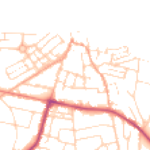
Daytime· 07:00 – 23:00
49.8dB

Night-time· 23:00 – 07:00
39.5dB