35 Cromer Road, Sheringham, NR26 8AB
About 35 Cromer Road
35 Cromer Road is a three-bedroom semi-detached house in Sheringham (NR26 8AB). It has a recorded floor area of 179 m² (around 1927 sq ft), construction records dating it to 1930-1949 and council tax band C. The latest certificate (July 2015) shows an F (score 32), near the bottom of the EPC scale. Earlier certificates rated it E (May 2012); the latest reading is one band lower. Between certificates, roof efficiency dropped from Good to Very Poor and hot-water efficiency dropped from Good to Poor. The recommended improvements would lift it to C (score 72), a 3-band jump. The latest certificate is from July 2015, so improvements made since then won't be reflected.
It hasn't traded since April 1998, a hold of 28 years that's notably long for the area. Only one transfer is on record with HM Land Registry, suggesting it has stayed in the same hands for a long time. At 179 m² the property is well over the postcode median (109 m² across 14 EPCs), placing it in the larger end of the local stock. On energy efficiency it sits in the bottom 10% of properties in this postcode — significant headroom for improvement. Today's modelled estimate of £349,000 sits 318% above the 1998 sale of £83,500. On a £-per-square-foot basis, the last sale (£43/sq ft) was about 77.7% below the postcode norm.
Know exactly what you're buying at 35 Cromer Road
Before you offer, see what the listing won't tell you, the true value, the red flags and the full history.
Already flagged here
Valuation
against the asking price
Risks
planning & flood
Sold prices
similar homes nearby
Trends
the local market
What this property has
Inside
- Bedrooms3
Energy performance
35 Cromer Road sits at the bottom of the postcode for energy efficiency — meaningful headroom to improve.
EPC Expired
This certificate is over 10 years old and is no longer valid.Expired 15 Jul 2025
EPC Rating
Property Improvements
Changes detected from historical EPC data
Hot water system changed
Loft insulation upgraded to recommended levels
More low energy lighting installed
Heating controls changed
Low energy lighting percentage decreased
Planning history
35 Cromer Road has no planning applications on record.
Notable planning nearby
2applications of note in the surrounding area
We flagged 1 thing worth checking at 35 Cromer Road
Independent checks surfaced things a buyer would want to understand before offering. The report explains each one in full, with the underlying data and what to ask.
- Larger development activity nearby
30-day money-back guarantee
Sales history & valuation
35 Cromer Road's modelled value sits at over four times its earliest registered sale price (1998).
£349,000
Modelled from EPC, postcode comparables.
£83,500
Recorded with HM Land Registry.
Sales timeline
29 April 1998Most recent
£83,500
Median price across the last 5 sales in NR26 8AB: £224,000 (2021–2015).
Nearby sales in NR26 8AB
17a, Cromer Road, Sheringham, NR26 8AB
Sold Mar 2021
£410,0001 Beeston Mews, Cromer Road, Sheringham, NR26 8AB
Sold Aug 2017
£185,0003 Beeston Mews, Cromer Road, Sheringham, NR26 8AB
Sold Aug 2017
£197,50025 Cromer Road, Sheringham, NR26 8AB
Sold Aug 2015
£301,5005 Beeston Mews, Cromer Road, Sheringham, NR26 8AB
Sold Jun 2015
£224,000
Everything we know about 35 Cromer Road, in one report
What it's really worth, what could be wrong, and the planning, sales and area data in full.
What we flagged
- Larger development activity nearby

Versus other Cromer Road homes
On epc rating, 35 Cromer Road runs well behind the street norm.
Price per m²
£466
Street avg £2,276
Floor Area
179 m²
Street avg 114 m²
Habitable Rooms
6 rooms
Street avg 6 rooms
CO₂ Emissions
15.0 t/year
Street avg 5.1 t/year
Similar properties nearby
1 Acacia Grove
NR26 8PA
1 Bramble Drive
NR26 8XH
1 Caxton Close, Beeston Regis
NR26 8SU
1 Beeston Common
NR26 8ES
1 Augusta Court
NR26 8AH
1 Ash Grove
NR26 8PT
1 Britons Lane, Beeston Regis
NR26 8SJ
1 Birch Grove
NR26 8NT
The neighbourhood at a glance
Rail-style transport is unusually close for this postcode.
Crime
2/mo
Steady year-on-year across the wider district.
Nearest stop
0.5 km
Sheringham Rail Station — railway station.
Closest school
1.2 km
Sheringham Community Primary School. 2 schools nearby.
Go deeper on the local area
The full report breaks down crime, transport links, schools and air quality in depth.
Road noise across the postcode
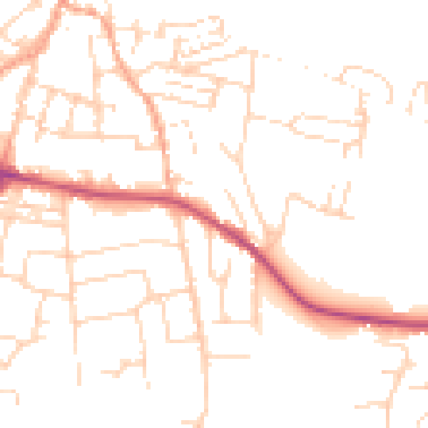
Daytime· 07:00 – 23:00
49.0dB

Night-time· 23:00 – 07:00
39.5dB