13 Barn Owl Drive, Holt, NR25 6GP
About 13 Barn Owl Drive
13 Barn Owl Drive is a detached house in Holt (NR25 6GP). It has a recorded floor area of 178 m² (around 1916 sq ft). The latest certificate (October 2020) returns a high B (score 85), putting the home a stone's throw from an A rating. The recommended improvements would push it to A (score 92).
At 178 m² the property is well over the postcode median (104 m² across 12 EPCs), placing it in the larger end of the local stock. Today's modelled estimate of £668,000 is 37.7% above the 2020 sale price. Last sale on file: £485,000 in November 2020.
Know exactly what you're buying at 13 Barn Owl Drive
Before you offer, see what the listing won't tell you, the true value, the red flags and the full history.
Already flagged here
Valuation
against the asking price
Risks
planning & flood
Sold prices
similar homes nearby
Trends
the local market
Energy performance
EPC Rating
Planning history
13 Barn Owl Drive has no planning applications on record.
Notable planning nearby
2applications of note in the surrounding area
We flagged 1 thing worth checking at 13 Barn Owl Drive
Independent checks surfaced things a buyer would want to understand before offering. The report explains each one in full, with the underlying data and what to ask.
- Larger development activity nearby
30-day money-back guarantee
Sales history & valuation
Latest sale on 13 Barn Owl Drive was the highest on Land Registry record across the postcode.
£668,000
Modelled from EPC, postcode comparables.
£485,000
Recorded with HM Land Registry.
Sales timeline
6 November 2020Most recent
£485,000
Median price across the last 5 sales in NR25 6GP: £345,000 (2024–2020).
Everything we know about 13 Barn Owl Drive, in one report
What it's really worth, what could be wrong, and the planning, sales and area data in full.
What we flagged
- Larger development activity nearby

Versus other Barn Owl Drive homes
Floor Area for 13 Barn Owl Drive runs comfortably ahead of the street norm.
Price per m²
£2,725
Street avg £3,018
Floor Area
178 m²
Street avg 110 m²
CO₂ Emissions
2.4 t/year
Street avg 1.5 t/year
Years Held
6 years
Street avg 6 years
Similar properties nearby
The neighbourhood at a glance
Crime
1/mo
Steady year-on-year across the wider district.
Nearest stop
1.0 km
Holt (North Norfolk Railway) — subway entrance.
Closest school
1.0 km
Holt Community Primary School. 1 school nearby.
Go deeper on the local area
The full report breaks down crime, transport links, schools and air quality in depth.
Road noise across the postcode
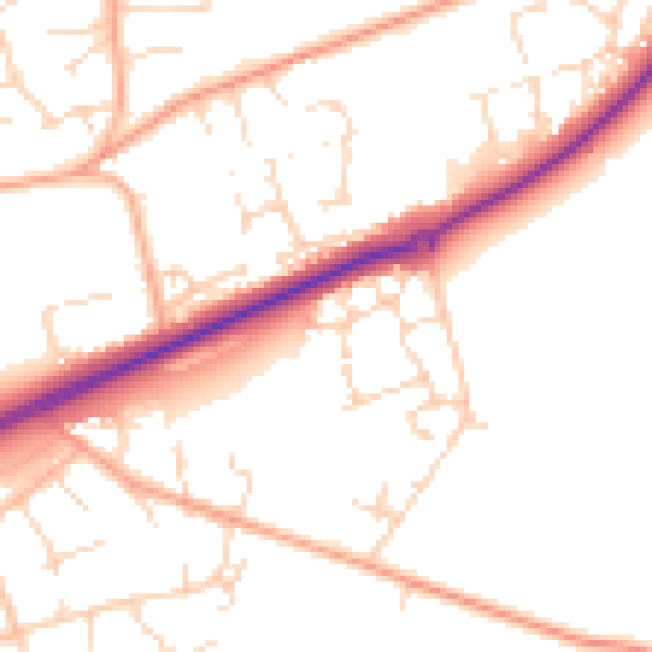
Daytime· 07:00 – 23:00
51.1dB

Night-time· 23:00 – 07:00
41.0dB