48 High Street, Holt, NR25 6BH
About 48 High Street
48 High Street is a three-bedroom mid-terrace house in Holt (NR25 6BH). It has a recorded floor area of 86 m² (around 926 sq ft), construction records dating it to before 1900 and council tax band C. The latest certificate (December 2012) shows an E (score 52), well below the UK norm with real room to improve. When first surveyed in April 2011 the rating was F, the property has climbed 1 band since. Between certificates, hot-water efficiency went from Very Poor to Average and main heating went from Poor to Average. The recommended improvements would lift it to B (score 88), a 3-band jump. Main heating runs on electricity. The latest certificate is from December 2012, so improvements made since then won't be reflected. Other recorded features include a basement. Period features are noted in the property record.
At 86 m² the property is well over the postcode median (60 m² across 11 EPCs), placing it in the larger end of the local stock. It lags the bulk of the postcode on energy efficiency (less efficient than 82% of similar EPCs). Today's modelled estimate of £352,000 sits 56.4% above the 2013 sale of £225,000. On a £-per-square-foot basis, the last sale (£243/sq ft) was about 24.9% below the postcode norm. On the market in April 2013 and unlisted since — roughly 13 years.
Know exactly what you're buying at 48 High Street
Before you offer, see what the listing won't tell you, the true value, the red flags and the full history.
Already flagged here
Valuation
against the asking price
Risks
planning & flood
Sold prices
similar homes nearby
Trends
the local market
What this property has
Inside
- Bedrooms3
- BasementYes
- FireplaceYes
Outside
- Private gardenYes
Building
- Period featuresYes
Energy performance
48 High Street's carbon output runs well above what efficient homes in the postcode produce.
EPC Expired
This certificate is over 10 years old and is no longer valid.Expired 04 Dec 2022
EPC Rating
Property Improvements
Changes detected from historical EPC data
Hot water efficiency improved
Planning history
48 High Street has no planning applications on record.
Notable planning nearby
2applications of note in the surrounding area
We flagged 1 thing worth checking at 48 High Street
Independent checks surfaced things a buyer would want to understand before offering. The report explains each one in full, with the underlying data and what to ask.
- Larger development activity nearby
30-day money-back guarantee
Sales history & valuation
48 High Street valuation sits well clear of the typical sold price in this postcode.
£352,000
Modelled from EPC, postcode comparables.
£225,000
Recorded with HM Land Registry.
Sales timeline
29 April 2013Most recent
£225,000
Median price across the last 5 sales in NR25 6BH: £510,000 (2020–2018).
Nearby sales in NR25 6BH
52 High Street, Holt, NR25 6BH
Sold Mar 2020
£282,000Jacobs Place, 2 Morston Mews, High Street, Holt, NR25 6BH
Sold Jun 2019
£510,000Jacobs Place, 3 Morston Mews, High Street, Holt, NR25 6BH
Sold Apr 2019
£510,000Flat 1, 18 High Street, Holt, NR25 6BH
Sold May 2018
£168,000Jacobs Place, 1 Morston Mews, High Street, Holt, NR25 6BH
Sold May 2018
£675,000
Everything we know about 48 High Street, in one report
What it's really worth, what could be wrong, and the planning, sales and area data in full.
What we flagged
- Larger development activity nearby

Versus other High Street homes
Price per m² for 48 High Street lags the street by a wide margin.
Price per m²
£2,616
Street avg £9,178
Floor Area
86 m²
Street avg 109 m²
Habitable Rooms
5 rooms
Street avg 5 rooms
CO₂ Emissions
7.6 t/year
Street avg 5.2 t/year
Similar properties nearby
1 Beresford Road
NR25 6EW
1 Caston Close
NR25 6PD
1 Camp Farm, West Beckham
NR25 6PL
1 Charles Road
NR25 6DA
1 Ainsworth Road
NR25 6FE
1 Arkell Avenue
NR25 6FQ
1 Bryony Court
NR25 6AF
1 Church Cottage, The Street, Hempstead
NR25 6AH
The neighbourhood at a glance
Crime
1/mo
Steady year-on-year across the wider district.
Nearest stop
1.9 km
Holt (North Norfolk Railway) — subway entrance.
Closest school
0.3 km
Holt Community Primary School. 1 school nearby.
Go deeper on the local area
The full report breaks down crime, transport links, schools and air quality in depth.
Road noise across the postcode
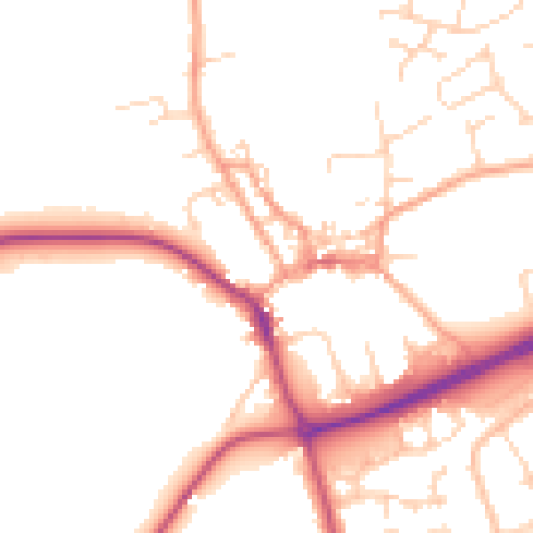
Daytime· 07:00 – 23:00
50.0dB

Night-time· 23:00 – 07:00
41.2dB