52 High Street, Holt, NR25 6BH
About 52 High Street
52 High Street is a four-bedroom end-of-terrace house in Holt (NR25 6BH). It has a recorded floor area of 81 m² (around 872 sq ft) and construction records dating it to before 1900. It is a listed building, which means external alterations are tightly controlled but it may qualify for heritage tax reliefs. The latest certificate (December 2013) shows an F (score 21), near the bottom of the EPC scale. The recommended improvements would push it to E (score 53). Main heating runs on electricity. The latest certificate is from December 2013, so improvements made since then won't be reflected.
At 81 m² the property is well over the postcode median (60 m² across 11 EPCs), placing it in the larger end of the local stock. On energy efficiency it sits in the bottom 10% of properties in this postcode — significant headroom for improvement. 4 planning records sit against the property, 2 approved, 0 refused. Across 1995–2020, sale prices on this property compounded at 6.9% per year. Today's modelled estimate of £347,000 is 23% above the 2020 sale price. Sold March 2020 for £282,000.
Know exactly what you're buying at 52 High Street
Before you offer, see what the listing won't tell you, the true value, the red flags and the full history.
Already flagged here
Valuation
against the asking price
Risks
planning & flood
Sold prices
similar homes nearby
Trends
the local market
What this property has
Inside
- Bedrooms4
- Bathrooms1
- EnsuiteYes
Outside
- ParkingOff street
Building
- Listed buildingYes
- RefurbishedYes
Energy performance
52 High Street sits at the bottom of the postcode for energy efficiency — meaningful headroom to improve.
EPC Expired
This certificate is over 10 years old and is no longer valid.Expired 19 Dec 2023
EPC Rating
Planning history
- Jun 2022HeritageIn report
Works to replace roof covering and any rotten or infested timbers
- Documents
- 14 docs on file
- Reference
- LA/22/1005
- Dec 2021RenovationFullIn report
Replacement of double metal gates with wooden timber fence and single gate (retrospective)
Retrospective- Documents
- 17 docs on file
- Reference
- PF/21/2829
We flagged 1 thing worth checking at 52 High Street
Independent checks surfaced things a buyer would want to understand before offering. The report explains each one in full, with the underlying data and what to ask.
- Larger development activity nearby
30-day money-back guarantee
Sales history & valuation
Price for 52 High Street has grown more than fourfold since the 1995 starting point.
£347,000
Modelled from EPC, postcode comparables and a sale-price growth of 6.9% per year over 25 years.
£282,000
Growth on file: 6.9% per year over 25 years.
Sales timeline
17 March 2020Most recent
£282,000
+135.0%over 17 years10 April 2002
£120,000
+118.2%over 6 years3 August 1995
£55,000
Median price across the last 5 sales in NR25 6BH: £510,000 (2019–2015).
Nearby sales in NR25 6BH
Jacobs Place, 2 Morston Mews, High Street, Holt, NR25 6BH
Sold Jun 2019
£510,000Jacobs Place, 3 Morston Mews, High Street, Holt, NR25 6BH
Sold Apr 2019
£510,000Flat 1, 18 High Street, Holt, NR25 6BH
Sold May 2018
£168,000Jacobs Place, 1 Morston Mews, High Street, Holt, NR25 6BH
Sold May 2018
£675,000Jacobs Place, Morston House, High Street, Holt, NR25 6BH
Sold Dec 2015
£335,000
Everything we know about 52 High Street, in one report
What it's really worth, what could be wrong, and the planning, sales and area data in full.
What we flagged
- Larger development activity nearby

Versus other High Street homes
52 High Street is notably below the street on years held.
Price per m²
£3,481
Street avg £9,034
Floor Area
81 m²
Street avg 110 m²
Habitable Rooms
6 rooms
Street avg 5 rooms
CO₂ Emissions
9.5 t/year
Street avg 5.0 t/year
Similar properties nearby
1 Cherry Tree Close
NR25 6GZ
1 Beresford Road
NR25 6EW
1 Caston Close
NR25 6PD
1 Camp Farm, West Beckham
NR25 6PL
1 Charles Road
NR25 6DA
1 Ainsworth Road
NR25 6FE
1 Arkell Avenue
NR25 6FQ
1 Bryony Court
NR25 6AF
The neighbourhood at a glance
Crime
1/mo
Steady year-on-year across the wider district.
Nearest stop
1.9 km
Holt (North Norfolk Railway) — subway entrance.
Closest school
0.3 km
Holt Community Primary School. 1 school nearby.
Go deeper on the local area
The full report breaks down crime, transport links, schools and air quality in depth.
Road noise across the postcode
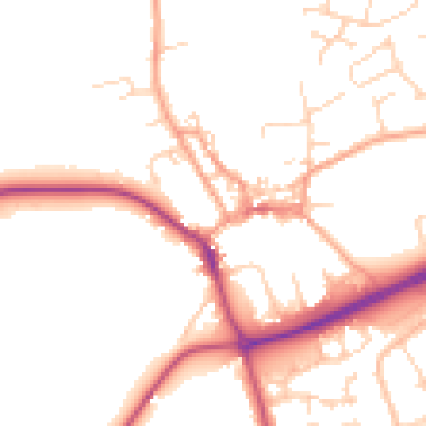
Daytime· 07:00 – 23:00
50.0dB

Night-time· 23:00 – 07:00
41.2dB