1 Beechbank Drive, Thorpe End, Norwich, NR13 5BW
About 1 Beechbank Drive
1 Beechbank Drive is a property in Thorpe End, Norwich, Norwich (NR13 5BW). It has council tax band E.
Energy performance
No EPC on record
This property doesn't have an Energy Performance Certificate yet. An EPC is required to sell or let — and unlocks our automated valuation.
Planning history
No planning applications are recorded against 1 Beechbank Drive, Thorpe End, Norwich, NR13 5BW. The full report also covers planning activity across the surrounding area.
Sales history & valuation
No sales recorded with HM Land Registry
That can mean the property has never traded since the registry began publishing in 1995, was a new build that hasn't been registered yet, or is held in the same hands long-term.
Median price across the last 5 sales in NR13 5BW: £450,000 (2025–2022).
Nearby sales in NR13 5BW
34 Beechbank Drive, Thorpe End, Norwich, NR13 5BW
Sold Aug 2025
£568,00026 Beechbank Drive, Thorpe End, Norwich, NR13 5BW
Sold Mar 2025
£430,00012 Beechbank Drive, Thorpe End, Norwich, NR13 5BW
Sold Aug 2024
£440,0006 Beechbank Drive, Thorpe End, Norwich, NR13 5BW
Sold May 2024
£450,00010 Beechbank Drive, Thorpe End, Norwich, NR13 5BW
Sold Oct 2022
£475,000
Similar properties nearby
1 Altongate, Thorpe End
NR13 5DY
1 Astley Road, Little Plumstead
NR13 5ET
1 Barker Close, Postwick
NR13 5GN
1 Barker Way, Thorpe End
NR13 5EZ
1 Barn Terrace, Brundall
NR13 5LN
1 Beech Drive, Little Plumstead
NR13 5FJ
1 Bells Loke, Brundall
NR13 5AZ
1 Beverley Road, Brundall
NR13 5QS
The neighbourhood at a glance
Daytime road noise here sits well below conversation level — a quiet pocket of the postcode.
Crime
4/mo
Steady year-on-year across the wider district.
Closest school
1.7 km
Rackheath Primary School. 13 schools nearby.
Road noise across the postcode
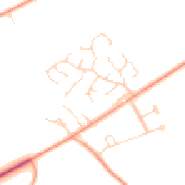
Daytime· 07:00 – 23:00
46.7dB

Night-time· 23:00 – 07:00
37.5dB