Bramley, North Street, Blofield, Norwich, NR13 4RH
About Bramley
Bramley is a two-bedroom detached house in Blofield, Norwich, Norwich (NR13 4RH). It has a recorded floor area of 82 m² (around 883 sq ft), construction records dating it to 1967-1975 and council tax band D. The latest certificate (May 2017) shows a C (score 69), just inside the C band. When first surveyed in April 2014 the rating was E, the property has climbed 2 bands since. Between certificates, wall efficiency went from Poor to Good, roof efficiency went from Average to Good and hot-water efficiency went from Average to Good. The recommended improvements would push it to B (score 87). The home occupies a cul-de-sac position.
At 82 m² it's 19.5% smaller than the typical home in the postcode (102 m² median across 8 EPCs). Its energy rating outperforms most of the postcode (better than 75% of similar EPCs). Across 2014–2017, sale prices on this property compounded at 9.9% per year. Today's modelled estimate of £329,000 is 15.4% above the 2017 sale price. On a £-per-square-foot basis, the last sale (£323/sq ft) was about 60.5% above the typical sold price in the postcode. Last changed hands 9 years ago, in October 2017.
Know exactly what you're buying at Bramley
Before you offer, see what the listing won't tell you, the true value, the red flags and the full history.
Already flagged here
Valuation
against the asking price
Risks
planning & flood
Sold prices
similar homes nearby
Trends
the local market
What this property has
Inside
- Bedrooms2
- Bathrooms1
- Dining roomYes
Outside
- Private gardenRear
- GarageYes
- Cul-de-sacYes
Building
- Heating systemGas
Energy performance
EPC Rating
Property Improvements
Changes detected from historical EPC data
Heating controls upgraded for better temperature management
Hot water efficiency improved
Low energy lighting percentage decreased
Cavity wall insulation installed
Loft insulation upgraded to recommended levels
More low energy lighting installed
Planning history
Bramley has no planning applications on record.
Notable planning nearby
1applications of note in the surrounding area
We flagged 1 thing worth checking at Bramley
Independent checks surfaced things a buyer would want to understand before offering. The report explains each one in full, with the underlying data and what to ask.
- Larger development activity nearby
30-day money-back guarantee
Sales history & valuation
Bramley valuation sits well clear of the typical sold price in this postcode.
£329,000
Modelled from EPC, postcode comparables and a sale-price growth of 9.9% per year over 3 years.
£285,000
Growth on file: 9.9% per year over 3 years.
Sales timeline
3 October 2017Most recent
£285,000
+32.6%over 2 years8 October 2014
£215,000
Median price across the last 5 sales in NR13 4RH: £445,000 (2025–2021).
Nearby sales in NR13 4RH
The Chalet, North Street, Blofield, Norwich, NR13 4RH
Sold Oct 2025
£445,000Robins Nest, North Street, Blofield, Norwich, NR13 4RH
Sold May 2025
£300,000Hollyhocks, North Street, Blofield, Norwich, NR13 4RH
Sold Feb 2025
£283,000High Lawn, North Street, Blofield, Norwich, NR13 4RH
Sold Jun 2022
£530,000The Chalfonts, North Street, Blofield, Norwich, NR13 4RH
Sold Feb 2021
£474,000
Everything we know about Bramley, in one report
What it's really worth, what could be wrong, and the planning, sales and area data in full.
What we flagged
- Larger development activity nearby

Versus other North Street homes
On price per m², Bramley stands well clear of the street.
Price per m²
£3,476
Street avg £2,670
Floor Area
82 m²
Street avg 119 m²
Habitable Rooms
4 rooms
Street avg 5 rooms
CO₂ Emissions
3.1 t/year
Street avg 5.9 t/year
Similar properties nearby
1 Braydeston Drive, Blofield
NR13 4NQ
1 Church Alley, Blofield
NR13 4JJ
1 Barn Close, Lingwood
NR13 4TS
1 Buckenham Road, Lingwood
NR13 4BL
1 Church Road, Blofield
NR13 4NA
1 Centenary Close, Lingwood
NR13 4DL
1 Cantley Road, South Burlingham
NR13 4HB
1 Chapel Court, Globe Lane, Blofield
NR13 4JW
The neighbourhood at a glance
Crime
4/mo
Steady year-on-year across the wider district.
Nearest stop
2.1 km
Brundall Rail Station — railway station.
Closest school
0.3 km
Blofield Primary School. 4 schools nearby.
Go deeper on the local area
The full report breaks down crime, transport links, schools and air quality in depth.
Road noise across the postcode
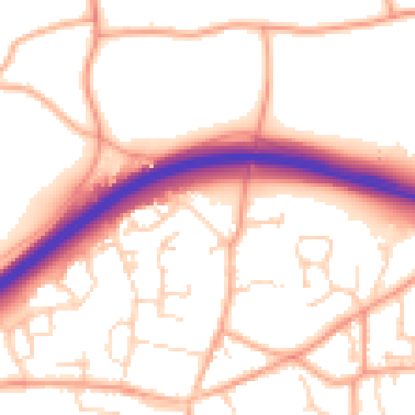
Daytime· 07:00 – 23:00
54.3dB

Night-time· 23:00 – 07:00
43.3dB