7 Farman Way, Blofield, Norwich, NR13 4FG
About 7 Farman Way
7 Farman Way is an end-of-terrace house in Blofield, Norwich, Norwich (NR13 4FG). It has a recorded floor area of 106 m² (around 1141 sq ft). The latest certificate (March 2017) returns a high B (score 88), putting the home a stone's throw from an A rating.
9 years since the last transfer (April 2017).
Know exactly what you're buying at 7 Farman Way
Before you offer, see what the listing won't tell you, the true value, the red flags and the full history.
Already flagged here
Valuation
against the asking price
Risks
planning & flood
Sold prices
similar homes nearby
Trends
the local market
Energy performance
7 Farman Way's carbon output is low for the local stock.
EPC Rating
Planning history
7 Farman Way has no planning applications on record.
Notable planning nearby
1applications of note in the surrounding area
We flagged 1 thing worth checking at 7 Farman Way
Independent checks surfaced things a buyer would want to understand before offering. The report explains each one in full, with the underlying data and what to ask.
- Larger development activity nearby
30-day money-back guarantee
Sales history & valuation
£380,000
Modelled from EPC, postcode comparables.
£350,000
Recorded with HM Land Registry.
Sales timeline
2 April 2017Most recent
£350,000
Median price across the last 5 sales in NR13 4FG: £364,000 (2024–2020).
Nearby sales in NR13 4FG
16 Farman Way, Blofield, Norwich, NR13 4FG
Sold Dec 2024
£295,00015 Farman Way, Blofield, Norwich, NR13 4FG
Sold Dec 2022
£364,00021 Farman Way, Blofield, Norwich, NR13 4FG
Sold Aug 2021
£380,00042 Farman Way, Blofield, Norwich, NR13 4FG
Sold Jul 2021
£460,0003 Farman Way, Blofield, Norwich, NR13 4FG
Sold Aug 2020
£293,500
Everything we know about 7 Farman Way, in one report
What it's really worth, what could be wrong, and the planning, sales and area data in full.
What we flagged
- Larger development activity nearby

Versus other Farman Way homes
CO₂ Emissions for 7 Farman Way runs comfortably ahead of the street norm.
Price per m²
£3,302
Street avg £3,098
Floor Area
106 m²
Street avg 121 m²
CO₂ Emissions
1.2 t/year
Street avg 1.6 t/year
Years Held
9 years
Street avg 7 years
Similar properties nearby
1 Blofield Hall, Hall Road, Blofield
NR13 4DD
1 Church Road, Blofield
NR13 4NA
1 Cardun Close, Blofield
NR13 4SD
1 Chapel Road, Strumpshaw
NR13 4PA
1 Church Road, Buckenham
NR13 4HN
1 Blofield Corner Road, Blofield
NR13 4RT
1 Alec East Road, Blofield
NR13 4UA
1 Barn Close, Lingwood
NR13 4TS
The neighbourhood at a glance
Crime
4/mo
Steady year-on-year across the wider district.
Nearest stop
2.0 km
Brundall Rail Station — railway station.
Closest school
0.1 km
Blofield Primary School. 3 schools nearby.
Go deeper on the local area
The full report breaks down crime, transport links, schools and air quality in depth.
Road noise across the postcode
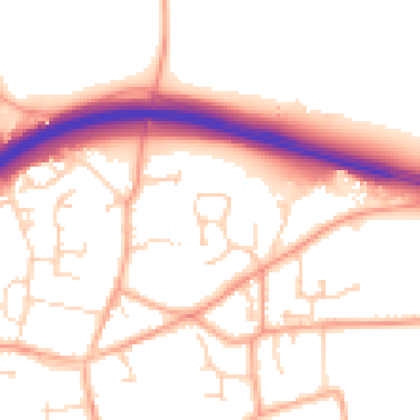
Daytime· 07:00 – 23:00
53.0dB

Night-time· 23:00 – 07:00
42.5dB