2 Mill Road, Banningham, Norwich, NR11 7DT
About 2 Mill Road
2 Mill Road is a semi-detached house in Banningham, Norwich, Norwich (NR11 7DT). It has a recorded floor area of 56 m² (around 603 sq ft) and construction records dating it to before 1900. The latest certificate (April 2024) shows an F (score 37), near the bottom of the EPC scale. When first surveyed in August 2019 the rating was G, the property has climbed 1 band since. Between certificates, wall efficiency went from Very Poor to Good and roof efficiency went from Very Poor to Very Good. The recommended improvements would lift it to B (score 89), a 4-band jump. Main heating runs on to be used only when there is no heating/hot.
At 56 m² it sits well below the postcode median (85 m² across 12 EPCs), making it one of the more compact homes locally. It lags the bulk of the postcode on energy efficiency (less efficient than 75% of similar EPCs). 5 planning records sit against the property, 3 approved, 0 refused. Past consents include an extension, meaningful when judging how the property has evolved. Today's modelled estimate of £227,000 is 37.6% above the 2019 sale price. On a £-per-square-foot basis, the last sale (£274/sq ft) was about 43.9% above the typical sold price in the postcode. Sold December 2019 for £165,000.
Everything you need to know about 2 Mill Road
The true value, the hidden risks and the full sale history, in one report.
Pick your report · from £14.99
One time fee only - money back guarantee

The data behind every report





Energy performance
Recommended upgrades on file would lift this property by multiple EPC bands.
EPC Rating
Certificate validity
Valid until 3 April 2034
Property Improvements
Changes detected from historical EPC data
Wall insulation improved
Loft insulation installed or upgraded to 250mm+
Floor insulation added or improved

Get a survey for this property
Level 3 Building Survey
Because the property was built before 1919, has been extended more than once, and has no mains gas supply, we believe a Level 3 building survey should be considered.
From £885 · Includes VAT
Planning history
5 applications on record at 2 Mill Road, Banningham, Norwich, NR11 7DT
- Mar 2022New BuildFullOutcome in report
Two storey detached dwelling (4-bed) with detached single garage and car port to front with widening and improvements to vehicle access
- Documents
- 26 docs on file
- Reference
- PF/21/2507
- More recent applications — locked
- ConditionsJan 2025Decision
- ConditionsNov 2023Decision
+ 2 more applications in the report
Unlock 2 Mill Road, Banningham, Norwich, NR11 7DT's full planning history
You're seeing the shape of it. The report has the substance.
- Every decision — granted, refused or withdrawn (5 on record)
- All 5 applications on this property in full
- The 54 documents, officer reports & conditions
- What the pattern means for extending or converting here
One time fee only - money back guarantee
Sales history & valuation
£227,000
Modelled from EPC, postcode comparables.
£165,000
Recorded with HM Land Registry.
Sales timeline
10 December 2019Most recent
£165,000
Median price across the last 5 sales in NR11 7DT: £380,000 (2026–2020).
Nearby sales in NR11 7DT
18 Mill Road, Banningham, Norwich, NR11 7DT
Sold Jan 2026
£475,000Chapel Cottage, Mill Road, Banningham, Norwich, NR11 7DT
Sold Sept 2025
£290,000Two Farthings, Mill Road, Banningham, Norwich, NR11 7DT
Sold Jul 2024
£380,000Glenbari, Mill Road, Banningham, Norwich, NR11 7DT
Sold Nov 2022
£312,000Barney Bee Cottage, Mill Road, Banningham, Norwich, NR11 7DT
Sold Aug 2020
£195,000
Versus other Mill Road homes
2 Mill Road is notably below the street on floor area.
Price per m²
£2,946
Street avg £2,576
Floor Area
56 m²
Street avg 98 m²
Habitable Rooms
3 rooms
Street avg 5 rooms
CO₂ Emissions
4.3 t/year
Street avg 5.1 t/year
Everything you need to know about 2 Mill Road
The true value, the hidden risks and the full sale history, in one report.
Pick your report · from £14.99
One time fee only - money back guarantee
The data behind every report
Similar properties nearby
1 Cromer Cottage, Cromer Road, Erpingham
NR11 7QE
1 Brick Kiln, North Walsham Road, Banningham
NR11 7DP
1 Birch Court, Jubilee Close, Erpingham
NR11 7NQ
1 Church View, Church Street, Plumstead
NR11 7LG
1 Council Houses, Lower Street, Wickmere
NR11 7JE
1 Church Road, Itteringham
NR11 7AY
1 Cherrytree Road, Plumstead
NR11 7LQ
1 Cooks Farm Cottage, Rectory Road, Suffield
NR11 7EW
The neighbourhood at a glance
Daytime road noise here sits well below conversation level — a quiet pocket of the postcode.
Crime
51/mo
Falling year-on-year across the wider district.
Closest school
0.6 km
Colby Primary School. 1 school nearby.
Go deeper on the local area
A Local Area report breaks down crime, transport links, schools and air quality in depth.
Road noise across the postcode
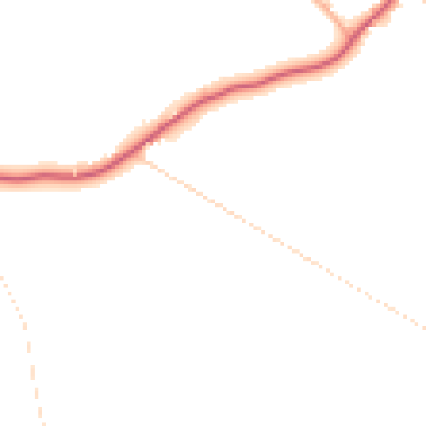
Daytime· 07:00 – 23:00
43.6dB

Night-time· 23:00 – 07:00
37.3dB