1 Grafton Road, Cranford, Kettering, NN14 4JE
About 1 Grafton Road
1 Grafton Road is an eight-bedroom detached house in Cranford, Kettering, Kettering (NN14 4JE). It has a recorded floor area of 484 m² (around 5210 sq ft), construction records dating it to before 1900 and council tax band G. There is a swimming pool on the plot, uncommon for the area. Other recorded features include a conservatory, a self-contained annexe and outbuildings. The latest certificate (June 2021) shows an F (score 36), near the bottom of the EPC scale. The rating has held steady at F across 4 certificates since September 2009. Between certificates, roof efficiency went from Poor to Good and lighting went from Poor to Good; while window efficiency dropped from Poor to Very Poor. The recommended improvements would lift it to C (score 74), a 3-band jump.
Across 1997–2021, sale prices on this property compounded at 6.1% per year. Today's modelled estimate of £1,698,000 is 15.1% below the 2021 sale of £2,000,000, below the original sale price, which typically signals condition or completion-status changes worth verifying. Sold October 2021 for £2,000,000. That sale was during the post-pandemic price surge, when transactions cleared materially above pre-2020 trend. 8 bedrooms is on the larger side for this postcode, where 4 is the typical count.
What this property has
Inside
- Bedrooms8
- Dining roomYes
- CloakroomYes
- EnsuiteYes
- StudyYes
- ConservatoryYes
Outside
- GarageYes
- OutbuildingsYes
- Swimming poolYes
Everything you need to know about 1 Grafton Road
The true value, the hidden risks and the full sale history, in one report.
Pick your report · from £14.99
One time fee only - money back guarantee

The data behind every report







Energy performance
1 Grafton Road's carbon output runs well above what efficient homes in the postcode produce.
EPC Rating
Certificate validity
Valid until 15 June 2031
Property Improvements
Changes detected from historical EPC data
Fuel source changed
Hot water efficiency decreased
Wall insulation improved
More low energy lighting installed
Switched from oil to mains gas, reducing emissions and costs
Hot water efficiency improved
Single glazing replaced with double or better glazing
Loft insulation installed or upgraded to 250mm+

Get a survey for this property
Level 3 Building Survey
Because the property was built before 1919, is a large detached home over 300m², and has been extended more than once, we believe a Level 3 building survey should be considered.
From £1,795 · Includes VAT
Planning history
1 Grafton Road has no planning applications on record.
A planning report still maps activity across the surrounding area and reads this property's extension & conversion potential.
Sales history & valuation
1 Grafton Road has more than quadrupled in price since its earliest registered sale in 1997.
£1,698,000
Modelled from EPC, postcode comparables and a sale-price growth of 6.1% per year over 24 years.
£2,000,000
Growth on file: 6.1% per year over 24 years.
Sales timeline
14 October 2021Most recent
£2,000,000
+321.1%over 24 years7 August 1997
£475,000
Median price across the last 2 sales in NN14 4JE: £520,270 (2018–2002).
Everything you need to know about 1 Grafton Road
The true value, the hidden risks and the full sale history, in one report.
Pick your report · from £14.99
One time fee only - money back guarantee
The data behind every report
Similar properties nearby
1 Brancey Close, Thrapston
NN14 4FQ
1 Blackbird Close, Thrapston
NN14 4SD
1 Brambleside, Thrapston
NN14 4PY
1 Bridge Street, Thrapston
NN14 4JW
1 Bonsor Gardens, Ringstead
NN14 4QW
1 Ablett Close, Thrapston
NN14 4QJ
1 Blackbridge Court, Thrapston
NN14 4FG
1 Boxcar Close, Thrapston
NN14 4LH
The neighbourhood at a glance
Daytime road noise here sits well below conversation level — a quiet pocket of the postcode.
Crime
172/mo
Falling year-on-year across the wider district.
Nearest stop
0.4 km
(Cranford) Grafton Road — bus stop.
Closest school
0.6 km
Cranford CofE Primary School. 2 schools nearby.
Go deeper on the local area
A Local Area report breaks down crime, transport links, schools and air quality in depth.
Road noise across the postcode
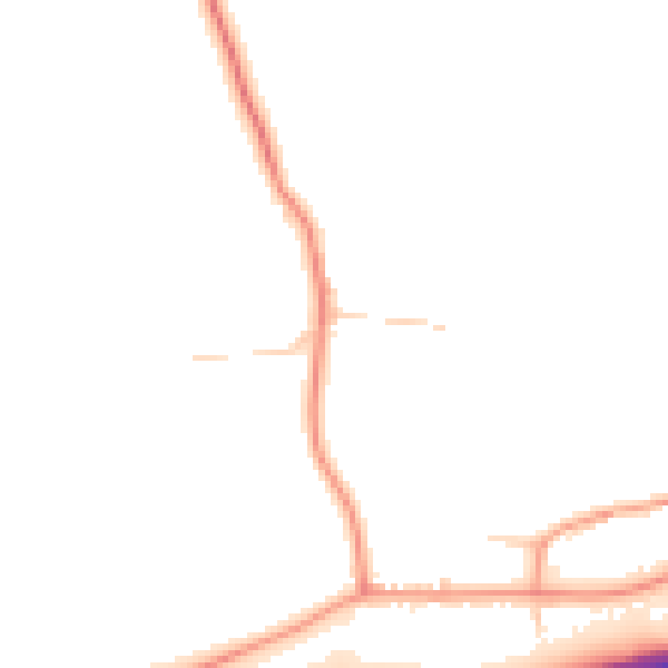
Daytime· 07:00 – 23:00
46.5dB

Night-time· 23:00 – 07:00
38.1dB