1 Bennett Street, Nottingham, NG3 5GP
About 1 Bennett Street
1 Bennett Street is a three-bedroom end-of-terrace house in Nottingham (NG3 5GP). It has a recorded floor area of 111 m² (around 1195 sq ft), construction records dating it to 1900-1929 and council tax band B. The latest certificate (June 2023) shows a D (score 61), on the cusp of jumping into the C band. The recommended improvements would lift it to B (score 82), a 2-band jump.
At 111 m² the property is well over the postcode median (72 m² across 26 EPCs), placing it in the larger end of the local stock. Today's modelled estimate of £250,000 is 44.5% above the 2023 sale price. On a £-per-square-foot basis, the last sale (£145/sq ft) was about 31% above the typical sold price in the postcode. Most recent transfer: December 2023 at £173,000.
What this property has
Inside
- Bedrooms3
- Bathrooms1
- Dining roomYes
- CloakroomYes
Outside
- Private gardenRear
Everything you need to know about 1 Bennett Street
The true value, the hidden risks and the full sale history, in one report.
Pick your report · every report is £14.99
One time fee only - money back guarantee

The data behind every report


Energy performance
Recommended upgrades on file would lift this property by multiple EPC bands.
EPC Rating
Get a survey for this property
Level 3 Building Survey
Because the property was built before 1919 and has solid (non-cavity) walls, we believe a Level 3 building survey should be considered.
From £885 · Includes VAT
Planning history
1 Bennett Street has no planning applications on record.
But the area is active
4 notable applications nearby — larger schemes and conversions that could reshape the street. The report maps them all.
Sales history & valuation
1 Bennett Street valuation sits well clear of the typical sold price in this postcode.
£250,000
Modelled from EPC, postcode comparables.
£173,000
Recorded with HM Land Registry.
Sales timeline
20 December 2023Most recent
£173,000
Median price across the last 5 sales in NG3 5GP: £232,500 (2025–2023).
Nearby sales in NG3 5GP
Versus other Bennett Street homes
1 Bennett Street outperforms the street on habitable rooms by a wide margin.
Price per m²
£1,559
Street avg £1,852
Floor Area
111 m²
Street avg 74 m²
Habitable Rooms
6 rooms
Street avg 4 rooms
CO₂ Emissions
5.1 t/year
Street avg 3.4 t/year
Everything you need to know about 1 Bennett Street
The true value, the hidden risks and the full sale history, in one report.
Pick your report · every report is £14.99
One time fee only - money back guarantee
The data behind every report
Similar properties nearby
1 Bedlington Gardens
NG3 5NW
1 Beech Avenue, Mapperley
NG3 5JW
1 Caunton Avenue
NG3 5HH
1 Ashwater Drive
NG3 5SJ
1 Bailey Drive
NG3 5US
1 Carisbrooke Avenue
NG3 5DT
1 Bonington Road
NG3 5JR
1 Birkland Avenue, Mapperley
NG3 5LA
The neighbourhood at a glance
Reported crime in the wider district is trending notably upward year-on-year.
Crime
5/mo
Rising year-on-year across the wider district.
Nearest stop
0.1 km
Belvoir Street — bus stop.
Closest school
0.2 km
Walter Halls Primary and Early Years School. 50 schools nearby.
Go deeper on the local area
A Local Area report breaks down crime, transport links, schools and air quality in depth.
Road noise across the postcode
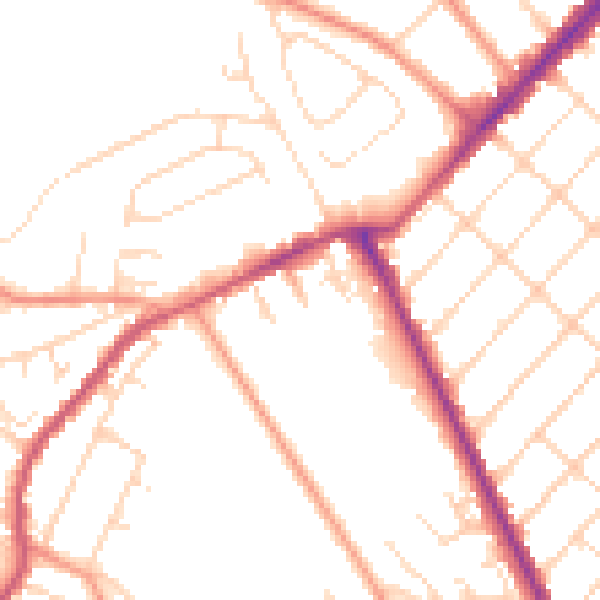
Daytime· 07:00 – 23:00
49.7dB

Night-time· 23:00 – 07:00
40.1dB