8 Goldswong Terrace, Nottingham, NG3 4HB
About 8 Goldswong Terrace
8 Goldswong Terrace is a semi-detached house in Nottingham (NG3 4HB). It has a recorded floor area of 146 m² (around 1572 sq ft), construction records dating it to 1900-1929 and council tax band C. The latest certificate (June 2015) shows an F (score 37), near the bottom of the EPC scale. The recommended improvements would lift it to C (score 69), a 3-band jump. The latest certificate is from June 2015, so improvements made since then won't be reflected.
It lags the bulk of the postcode on energy efficiency (less efficient than 89% of similar EPCs). Today's modelled estimate of £239,000 is 36.6% above the 2011 sale price. On a £-per-square-foot basis, the last sale (£111/sq ft) was about 16.8% above the typical sold price in the postcode. Last sold in July 2011, so it's been off the market for around 15 years.
Everything you need to know about 8 Goldswong Terrace
The true value, the hidden risks and the full sale history, in one report.
Pick your report · every report is £14.99
One time fee only - money back guarantee

The data behind every report


Energy performance
8 Goldswong Terrace's carbon output runs well above what efficient homes in the postcode produce.
EPC Expired
This certificate is over 10 years old and is no longer valid.Expired 15 Jun 2025
EPC Rating
Get a survey for this property
Level 3 Building Survey
Because the property was built before 1919, has been extended more than once, and has solid (non-cavity) walls, we believe a Level 3 building survey should be considered.
From £885 · Includes VAT
Planning history
8 Goldswong Terrace has no planning applications on record.
But the area is active
15 notable applications nearby — larger schemes and conversions that could reshape the street. The report maps them all.
Sales history & valuation
8 Goldswong Terrace valuation sits well clear of the typical sold price in this postcode.
£239,000
Modelled from EPC, postcode comparables.
£175,000
Recorded with HM Land Registry.
Sales timeline
7 July 2011Most recent
£175,000
Median price across the last 5 sales in NG3 4HB: £295,000 (2025–2020).
Nearby sales in NG3 4HB
19 Goldswong Terrace, Nottingham, NG3 4HB
Sold Aug 2025
£295,00030 Goldswong Terrace, Nottingham, NG3 4HB
Sold Mar 2023
£219,00023 Goldswong Terrace, Nottingham, NG3 4HB
Sold Mar 2023
£300,00021 Goldswong Terrace, Nottingham, NG3 4HB
Sold Oct 2022
£367,5007 Goldswong Terrace, Nottingham, NG3 4HB
Sold Sept 2017
£180,000
Versus other Goldswong Terrace homes
On epc rating, 8 Goldswong Terrace runs well behind the street norm.
Price per m²
£1,199
Street avg £1,250
Floor Area
146 m²
Street avg 165 m²
Habitable Rooms
7 rooms
Street avg 7 rooms
CO₂ Emissions
11.0 t/year
Street avg 8.4 t/year
Everything you need to know about 8 Goldswong Terrace
The true value, the hidden risks and the full sale history, in one report.
Pick your report · every report is £14.99
One time fee only - money back guarantee
The data behind every report
Similar properties nearby
The neighbourhood at a glance
Reported crime in the wider district is trending notably upward year-on-year.
Crime
5/mo
Rising year-on-year across the wider district.
Nearest stop
0.1 km
Cranmer Street — bus stop.
Closest school
0.3 km
St Augustine's Catholic Primary and Nursery School, A Voluntary Academy. 42 schools nearby.
Go deeper on the local area
A Local Area report breaks down crime, transport links, schools and air quality in depth.
Road noise across the postcode
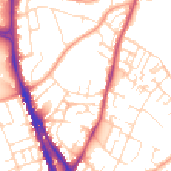
Daytime· 07:00 – 23:00
53.0dB
Night-time· 23:00 – 07:00
42.3dB