1a, Hogarth Street, Nottingham, NG3 2GA
About 1a
1a is a two-bedroom semi-detached house in Nottingham (NG3 2GA). It has a recorded floor area of 58 m² (around 624 sq ft), construction records dating it to 1983-1990 and council tax band A. The property has solar panels on record, all of which lower running costs and tend to lift resale appeal. The latest certificate (January 2019) shows a C (score 69), just inside the C band. The recommended improvements would push it to B (score 86).
Across 2001–2019, sale prices on this property compounded at 7.5% per year. Today's modelled estimate of £173,000 sits 57.3% above the 2019 sale of £110,000. On a £-per-square-foot basis, the last sale (£176/sq ft) was about 87.2% above the typical sold price in the postcode. At 58 m² it's 26.6% smaller than the typical home in the postcode (79 m² median across 28 EPCs). Most recent transfer: October 2019 at £110,000.
What this property has
Inside
- Bedrooms2
Outside
- ParkingOff street
Building
- Solar panelsYes
Everything you need to know about 1a
The true value, the hidden risks and the full sale history, in one report.
Pick your report · every report is £14.99
One time fee only - money back guarantee

The data behind every report


Energy performance
EPC Rating
Get a survey for this property
Level 2 HomeBuyer Report
We've checked 10 risk factors against the available data for this property and believe a Level 2 HomeBuyer Report could be a suitable option for you.
From £495 · Includes VAT
Planning history
1a has no planning applications on record.
But the area is active
5 notable applications nearby — larger schemes and conversions that could reshape the street. The report maps them all.
Sales history & valuation
1a has more than tripled in price since its earliest registered sale in 2001.
£173,000
Modelled from EPC, postcode comparables and a sale-price growth of 7.5% per year over 19 years.
£110,000
Growth on file: 7.5% per year over 19 years.
Sales timeline
6 October 2019Most recent
£110,000
+286.0%over 18 years22 January 2001
£28,500
Median price across the last 5 sales in NG3 2GA: £130,000 (2025–2022).
Nearby sales in NG3 2GA
Versus other Hogarth Street homes
Price per m² for 1a runs comfortably ahead of the street norm.
Price per m²
£1,897
Street avg £1,291
Floor Area
58 m²
Street avg 81 m²
Habitable Rooms
4 rooms
Street avg 5 rooms
CO₂ Emissions
2.4 t/year
Street avg 3.8 t/year
Everything you need to know about 1a
The true value, the hidden risks and the full sale history, in one report.
Pick your report · every report is £14.99
One time fee only - money back guarantee
The data behind every report
Similar properties nearby
1 Berry Court, Holly Gardens
NG3 2PB
1 Hogarth Street
NG3 2GA
1 Beacon Hill Rise
NG3 2GX
1 Andrews Court, Thorneywood Rise
NG3 2PH
1 Bracton Drive
NG3 2LN
1 Cropwell Green
NG3 2GB
1 Barrymore Court, Holly Gardens
NG3 2PG
1 Blake Close
NG3 2HB
The neighbourhood at a glance
Reported crime in the wider district is trending notably upward year-on-year.
Crime
5/mo
Rising year-on-year across the wider district.
Nearest stop
0.2 km
Alma Road — bus stop.
Closest school
0.3 km
Blue Bell Hill Primary and Nursery School. 39 schools nearby.
Go deeper on the local area
A Local Area report breaks down crime, transport links, schools and air quality in depth.
Road noise across the postcode
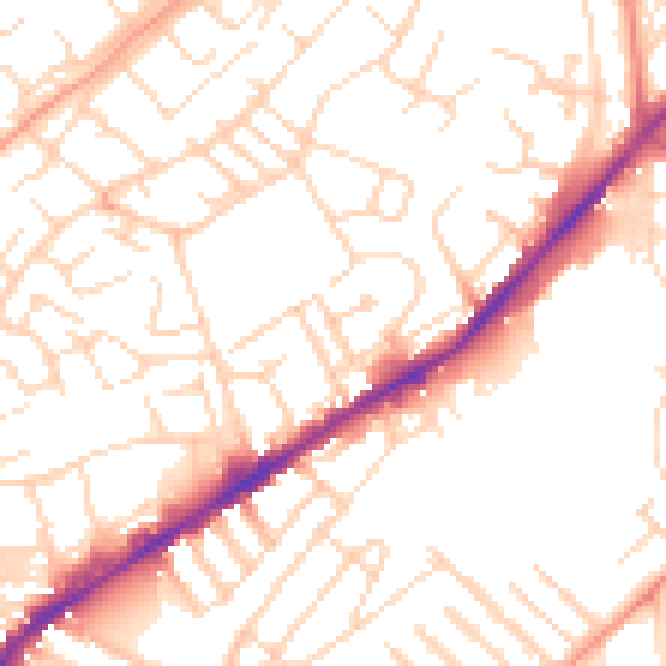
Daytime· 07:00 – 23:00
52.1dB

Night-time· 23:00 – 07:00
41.6dB