11 High Street, Collingham, Newark, NG23 7LA
About 11 High Street
11 High Street is a three-bedroom detached house in Collingham, Newark, Newark (NG23 7LA). It has a recorded floor area of 134 m² (around 1438 sq ft), construction records dating it to before 1900 and council tax band C. The latest certificate (November 2010) shows a G (score 1), near the bottom of the EPC scale. Main heating runs on electricity. The latest certificate is from November 2010, so improvements made since then won't be reflected. Other recorded features include outbuildings.
It hasn't traded since May 2011, a hold of 15 years that's notably long for the area. On energy efficiency it sits in the bottom 10% of properties in this postcode — significant headroom for improvement. Today's modelled estimate of £295,000 sits 61.6% above the 2011 sale of £182,500. One historical planning record sits against the property in 2013.
What this property has
Inside
- Bedrooms3
- Dining roomYes
Outside
- OutbuildingsYes
Everything you need to know about 11 High Street
The true value, the hidden risks and the full sale history, in one report.
Pick your report · from £14.99
One time fee only - money back guarantee

The data behind every report





Energy performance
11 High Street sits at the bottom of the postcode for energy efficiency — meaningful headroom to improve.
EPC Expired
This certificate is over 10 years old and is no longer valid.Expired 08 Nov 2020
EPC Rating
Certificate validity
Expired on 8 November 2020

Get a survey for this property
Level 3 Building Survey
Because the property was built before 1919, has solid (non-cavity) walls, and has permanent outbuildings, we believe a Level 3 building survey should be considered.
From £885 · Includes VAT
Planning history
1 application on record at 11 High Street, Collingham, Newark, NG23 7LA
- Jun 2013FullOutcome in report
Householder application for proposed demolition of existing flat roofed garage and erection of replacement garage with study with a pitched roof
- Documents
- 12 docs on file
- Reference
- 13/00407/FUL
Unlock 11 High Street, Collingham, Newark, NG23 7LA's full planning history
You're seeing the shape of it. The report has the substance.
- Every decision — granted, refused or withdrawn (1 on record)
- All 1 application on this property in full, plus 6 notable nearby
- The 12 documents, officer reports & conditions
- What the pattern means for extending or converting here
One time fee only - money back guarantee
Sales history & valuation
11 High Street valuation sits well clear of the typical sold price in this postcode.
£295,000
Modelled from EPC, postcode comparables.
£182,500
Recorded with HM Land Registry.
Sales timeline
19 May 2011Most recent
£182,500
Median price across the last 5 sales in NG23 7LA: £410,000 (2025–2024).
Nearby sales in NG23 7LA
7a, High Street, Collingham, Newark, NG23 7LA
Sold Mar 2025
£190,00021 High Street, Collingham, Newark, NG23 7LA
Sold Oct 2024
£290,00030 High Street, Collingham, Newark, NG23 7LA
Sold Oct 2024
£640,00020a, High Street, Collingham, Newark, NG23 7LA
Sold Jan 2024
£410,00022 High Street, Collingham, Newark, NG23 7LA
Sold Jan 2024
£475,000
Versus other High Street homes
EPC Rating for 11 High Street lags the street by a wide margin.
Price per m²
£1,367
Street avg £1,952
Floor Area
134 m²
Street avg 178 m²
Habitable Rooms
5 rooms
Street avg 7 rooms
CO₂ Emissions
15.0 t/year
Street avg 9.2 t/year
Everything you need to know about 11 High Street
The true value, the hidden risks and the full sale history, in one report.
Pick your report · from £14.99
One time fee only - money back guarantee
The data behind every report
Similar properties nearby
1 Denbigh Court, Collingham
NG23 7PA
1 Fisher Close, Collingham
NG23 7SL
1 Blackbourn Close, Collingham
NG23 7SR
1 Deane Close, Collingham
NG23 7PD
1 Cawthorn Close, Collingham
NG23 7SU
1 Canon Stevens Close, Collingham
NG23 7RH
1 Beeches Court, South Scarle
NG23 7JQ
1 Foster Road, Collingham
NG23 7SW
The neighbourhood at a glance
Rail-style transport is unusually close for this postcode.
Crime
70/mo
Steady year-on-year across the wider district.
Nearest stop
0.2 km
The Green — bus stop.
Closest school
0.5 km
John Blow Primary School. 1 school nearby.
Go deeper on the local area
A Local Area report breaks down crime, transport links, schools and air quality in depth.
Road noise across the postcode
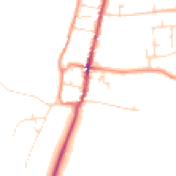
Daytime· 07:00 – 23:00
46.5dB
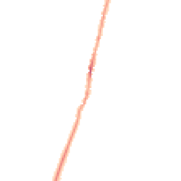
Night-time· 23:00 – 07:00
38.6dB