23 Turner Lane, Boughton, Newark, NG22 9HN
About 23 Turner Lane
23 Turner Lane is a mid-terrace house in Boughton, Newark, Newark (NG22 9HN). It has a recorded floor area of 85 m² (around 915 sq ft), construction records dating it to 1967-1975 and council tax band A. The latest certificate (April 2012) shows a C (score 71). The recommended improvements would push it to B (score 90). The latest certificate is from April 2012, so improvements made since then won't be reflected.
Everything you need to know about 23 Turner Lane
The true value, the hidden risks and the full sale history, in one report.
Pick your report · every report is £14.99
One time fee only - money back guarantee

The data behind every report


Energy performance
23 Turner Lane's EPC is over a decade old — improvements since won't be reflected.
EPC Expired
This certificate is over 10 years old and is no longer valid.Expired 13 Apr 2022
EPC Rating
Get a survey for this property
Level 2 HomeBuyer Report
We've checked 10 risk factors against the available data for this property and believe a Level 2 HomeBuyer Report could be a suitable option for you.
From £495 · Includes VAT
Planning history
23 Turner Lane has no planning applications on record.
But the area is active
5 notable applications nearby — larger schemes and conversions that could reshape the street. The report maps them all.
Sales history & valuation
23 Turner Lane has no Land Registry sales on file, suggesting it has stayed in the same hands since registration began.
£140,000
Modelled from EPC, postcode comparables.
No sales recorded with HM Land Registry
That can mean the property has never traded since the registry began publishing in 1995, was a new build that hasn't been registered yet, or is held in the same hands long-term.
Median price across the last 5 sales in NG22 9HN: £67,500 (2023–2008).
Versus other Turner Lane homes
EPC Rating
71 (C)
Street avg 72 (C)
Floor Area
85 m²
Street avg 85 m²
CO₂ Emissions
2.8 t/year
Street avg 2.9 t/year
Habitable Rooms
5 rooms
Street avg 5 rooms
Everything you need to know about 23 Turner Lane
The true value, the hidden risks and the full sale history, in one report.
Pick your report · every report is £14.99
One time fee only - money back guarantee
The data behind every report
Similar properties nearby
1 Breck Bank Crescent, New Ollerton
NG22 9XH
1 Birklands Avenue, New Ollerton
NG22 9SA
1 Bracken Avenue, New Ollerton
NG22 9TR
1 Alder Grove, New Ollerton
NG22 9UB
1 Bentinck Close, Boughton
NG22 9HP
1 Birkdale Avenue, New Ollerton
NG22 9UE
1 Briar Road, New Ollerton
NG22 9SY
1 Bottom Row, Ollerton
NG22 9AY
The neighbourhood at a glance
Daytime road noise here sits well below conversation level — a quiet pocket of the postcode.
Crime
3/mo
Steady year-on-year across the wider district.
Nearest stop
0.2 km
Linton Drive — bus stop.
Closest school
0.4 km
St Joseph's Catholic Primary and Nursery School. 6 schools nearby.
Go deeper on the local area
A Local Area report breaks down crime, transport links, schools and air quality in depth.
Road noise across the postcode
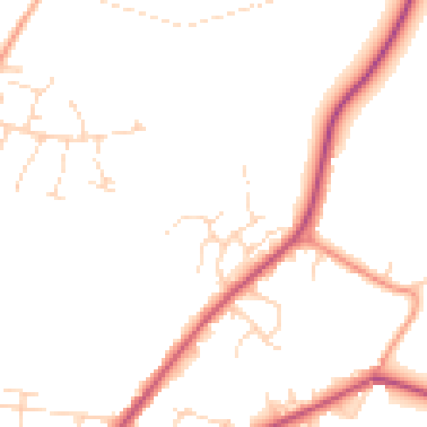
Daytime· 07:00 – 23:00
47.6dB

Night-time· 23:00 – 07:00
39.4dB