1 Burnt Oaks Close, Mansfield Woodhouse, Mansfield, NG19 9BY
About 1 Burnt Oaks Close
1 Burnt Oaks Close is a detached house in Mansfield Woodhouse, Mansfield, Mansfield (NG19 9BY). It has a recorded floor area of 72 m² (around 775 sq ft), construction records dating it to 1976-1982 and council tax band C. The latest certificate (November 2018) shows a C (score 69), just inside the C band. The recommended improvements would push it to B (score 86).
Across 1997–2019, sale prices on this property compounded at 5.6% per year. Today's modelled estimate of £220,000 sits 54.4% above the 2019 sale of £142,500. Last sale on file: £142,500 in August 2019. Across the public record there are 4 sales, relatively high churn for a single property. Its energy rating outperforms most of the postcode (better than 70% of similar EPCs).
Everything you need to know about 1 Burnt Oaks Close
The true value, the hidden risks and the full sale history, in one report.
Pick your report · every report is £14.99
One time fee only - money back guarantee

The data behind every report


Energy performance
EPC Rating
Get a survey for this property
Level 2 HomeBuyer Report
We've checked 10 risk factors against the available data for this property and believe a Level 2 HomeBuyer Report could be a suitable option for you.
From £545 · Includes VAT
Planning history
1 Burnt Oaks Close has no planning applications on record.
A planning report still maps activity across the surrounding area and reads this property's extension & conversion potential.
Sales history & valuation
1 Burnt Oaks Close has more than tripled in price since its earliest registered sale in 1997.
£220,000
Modelled from EPC, postcode comparables and a sale-price growth of 5.6% per year over 22 years.
£142,500
Growth on file: 5.6% per year over 22 years.
Sales timeline
21 August 2019Most recent
£142,500
-6.6%28 March 2019
£152,500
+154.4%over 17 years7 June 2001
£59,950
+42.7%over 4 years14 May 1997
£42,000
Median price across the last 5 sales in NG19 9BY: £166,000 (2020–2014).
Nearby sales in NG19 9BY
16 Burnt Oaks Close, Mansfield Woodhouse, Mansfield, NG19 9BY
Sold Nov 2020
£169,95015 Burnt Oaks Close, Mansfield Woodhouse, Mansfield, NG19 9BY
Sold Jun 2020
£166,00019 Burnt Oaks Close, Mansfield Woodhouse, Mansfield, NG19 9BY
Sold Jul 2015
£170,00012 Burnt Oaks Close, Mansfield Woodhouse, Mansfield, NG19 9BY
Sold Apr 2014
£140,00018 Burnt Oaks Close, Mansfield Woodhouse, Mansfield, NG19 9BY
Sold Nov 2010
£108,000
Versus other Burnt Oaks Close homes
On habitable rooms, 1 Burnt Oaks Close runs well behind the street norm.
Price per m²
£1,979
Street avg £1,812
Floor Area
72 m²
Street avg 78 m²
Habitable Rooms
3 rooms
Street avg 4 rooms
CO₂ Emissions
2.8 t/year
Street avg 3.2 t/year
Everything you need to know about 1 Burnt Oaks Close
The true value, the hidden risks and the full sale history, in one report.
Pick your report · every report is £14.99
One time fee only - money back guarantee
The data behind every report
Similar properties nearby
1 Arun Dale, Mansfield Woodhouse
NG19 9RE
1 Beechdale Road, Mansfield Woodhouse
NG19 9GQ
1 Albany Close, Mansfield Woodhouse
NG19 9AG
1 Barley Mews, Leeming Lane North, Mansfield Woodhouse
NG19 9DZ
1 Ashwood Close, Mansfield Woodhouse
NG19 9HD
1 Ashwell Avenue, Mansfield Woodhouse
NG19 9ER
1 Balmoral Close, Mansfield Woodhouse
NG19 9GX
1 Belmont Close, Mansfield Woodhouse
NG19 9GD
The neighbourhood at a glance
Crime
3/mo
Steady year-on-year across the wider district.
Nearest stop
0.1 km
Recreation Ground — bus stop.
Closest school
0.4 km
St Edmund's CofE (C) Primary & Nursery School. 21 schools nearby.
Go deeper on the local area
A Local Area report breaks down crime, transport links, schools and air quality in depth.
Road noise across the postcode
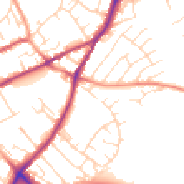
Daytime· 07:00 – 23:00
50.9dB

Night-time· 23:00 – 07:00
41.7dB