Model valuation£417,0008 Busby Close
Local market context
28a is a semi-detached house in New Houghton, Mansfield, Mansfield (NG19 8SR). It has a recorded floor area of 71 m² (around 764 sq ft). The latest certificate (December 2019) shows a C (score 77), near the top of the C band. Earlier certificates rated it B (July 2014); the latest reading is one band lower. Between certificates, window efficiency dropped from Very Good to Good and lighting dropped from Very Good to Very Poor. The recommended improvements would lift it to A (score 92), a 2-band jump.
At 71 m² it's 15.5% smaller than the typical home in the postcode (84 m² median across 23 EPCs).
The true value, the hidden risks and the full sale history, in one report.
Pick your report · from £14.99
One time fee only - money back guarantee

The data behind every report


Recommended upgrades on file would lift this property by multiple EPC bands.
Certificate validity
Valid until 13 December 2029

Get a survey for this property
We've checked 10 risk factors against the available data for this property and believe a Level 2 HomeBuyer Report could be a suitable option for you.
From £495 · Includes VAT
28a has no planning applications on record.
A planning report still maps activity across the surrounding area and reads this property's extension & conversion potential.
28a has no Land Registry sales on file, suggesting it has stayed in the same hands since registration began.
£161,000
Modelled from EPC, postcode comparables.
That can mean the property has never traded since the registry began publishing in 1995, was a new build that hasn't been registered yet, or is held in the same hands long-term.
Median price across the last 5 sales in NG19 8SR: £161,000 (2024–2022).
2 Meden Avenue, New Houghton, Mansfield, NG19 8SR
Sold Aug 2024
40 Meden Avenue, New Houghton, Mansfield, NG19 8SR
Sold Jun 2024
14 Meden Avenue, New Houghton, Mansfield, NG19 8SR
Sold Jun 2022
56 Meden Avenue, New Houghton, Mansfield, NG19 8SR
Sold Feb 2022
16 Meden Avenue, New Houghton, Mansfield, NG19 8SR
Sold Oct 2019
Habitable Rooms for 28a lags the street by a wide margin.
EPC Rating
77 (C)
Street avg 78 (C)
Floor Area
71 m²
Street avg 86 m²
CO₂ Emissions
1.8 t/year
Street avg 2.2 t/year
Habitable Rooms
3 rooms
Street avg 5 rooms
Property research, connected
Explore sale histories, valuations, energy ratings and local areas. Ask the assistant to connect the details and take your research further.
Start your researchNG19 8HR
NG19 8HH
NG19 8QL
NG19 8DB
NG19 8LG
NG19 8QB
NG19 8NE
NG19 8AL
Crime
275/mo
Falling year-on-year across the wider district.
Nearest stop
0.1 km
Post Office — bus stop.
Closest school
0.4 km
Anthony Bek Community Primary School. 2 schools nearby.
Go deeper on the local area
A Local Area report breaks down crime, transport links, schools and air quality in depth.
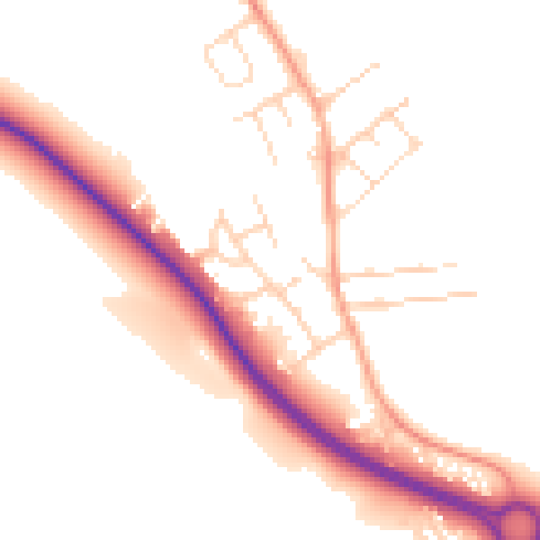
Daytime· 07:00 – 23:00
50.4dB

Night-time· 23:00 – 07:00
42.4dB