8 Burnside Drive, Mansfield, NG19 7HF
About 8 Burnside Drive
8 Burnside Drive is a semi-detached house in Mansfield (NG19 7HF). It has a recorded floor area of 72 m² (around 775 sq ft), construction records dating it to 1991-1995 and council tax band B. The latest certificate (January 2014) shows a D (score 62), on the cusp of jumping into the C band. The recommended improvements would lift it to B (score 84), a 2-band jump. The latest certificate is from January 2014, so improvements made since then won't be reflected.
At 72 m² it's 19.6% smaller than the typical home in the postcode (90 m² median across 16 EPCs).
Everything you need to know about 8 Burnside Drive
The true value, the hidden risks and the full sale history, in one report.
Pick your report · every report is £14.99
One time fee only - money back guarantee

The data behind every report


Energy performance
Recommended upgrades on file would lift this property by multiple EPC bands.
EPC Expired
This certificate is over 10 years old and is no longer valid.Expired 24 Jan 2024
EPC Rating
Get a survey for this property
Level 2 HomeBuyer Report
We've checked 10 risk factors against the available data for this property and believe a Level 2 HomeBuyer Report could be a suitable option for you.
From £495 · Includes VAT
Planning history
8 Burnside Drive has no planning applications on record.
But the area is active
3 notable applications nearby — larger schemes and conversions that could reshape the street. The report maps them all.
Sales history & valuation
8 Burnside Drive has no Land Registry sales on file, suggesting it has stayed in the same hands since registration began.
£158,000
Modelled from EPC, postcode comparables.
No sales recorded with HM Land Registry
That can mean the property has never traded since the registry began publishing in 1995, was a new build that hasn't been registered yet, or is held in the same hands long-term.
Versus other Burnside Drive homes
8 Burnside Drive outperforms the street on habitable rooms by a wide margin.
EPC Rating
62 (D)
Street avg 57 (D)
Floor Area
72 m²
Street avg 85 m²
CO₂ Emissions
3.5 t/year
Street avg 4.7 t/year
Habitable Rooms
5 rooms
Street avg 4 rooms
Everything you need to know about 8 Burnside Drive
The true value, the hidden risks and the full sale history, in one report.
Pick your report · every report is £14.99
One time fee only - money back guarantee
The data behind every report
Similar properties nearby
The neighbourhood at a glance
Daytime road noise here sits well below conversation level — a quiet pocket of the postcode.
Crime
3/mo
Steady year-on-year across the wider district.
Nearest stop
0.2 km
Shaftsbury Avenue — bus stop.
Closest school
0.6 km
Crescent Primary School. 18 schools nearby.
Go deeper on the local area
A Local Area report breaks down crime, transport links, schools and air quality in depth.
Road noise across the postcode
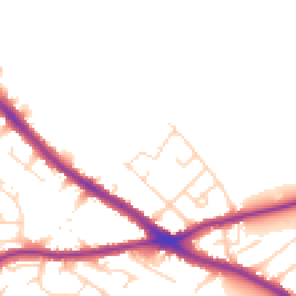
Daytime· 07:00 – 23:00
48.3dB

Night-time· 23:00 – 07:00
41.0dB