21 Kent Road, Giltbrook, Nottingham, NG16 2FW
About 21 Kent Road
21 Kent Road is a property in Giltbrook, Nottingham, Nottingham (NG16 2FW). It has council tax band B.
Held since May 2001 — that's 25 years off the open market, well above the local norm. Only one transfer is on record with HM Land Registry, suggesting it has stayed in the same hands for a long time.
Know exactly what you're buying at 21 Kent Road
Before you offer, see what the listing won't tell you, the true value, the red flags and the full history.
Valuation
against the asking price
Risks
planning & flood
Sold prices
similar homes nearby
Trends
the local market
Energy performance
No EPC on record
This property doesn't have an Energy Performance Certificate yet. An EPC is required to sell or let — and unlocks our automated valuation.
Planning history
21 Kent Road has no planning applications on record.
Notable planning nearby
2applications of note in the surrounding area
Sales history & valuation
£63,000
Recorded with HM Land Registry.
Sales timeline
17 May 2001Most recent
£63,000
Median price across the last 5 sales in NG16 2FW: £240,000 (2024–2024).
Nearby sales in NG16 2FW
11 Kent Road, Giltbrook, Nottingham, NG16 2FW
Sold Oct 2024
£240,0009 Kent Road, Giltbrook, Nottingham, NG16 2FW
Sold Sept 2024
£287,50045 Kent Road, Giltbrook, Nottingham, NG16 2FW
Sold Jul 2024
£260,00015 Kent Road, Giltbrook, Nottingham, NG16 2FW
Sold Apr 2024
£170,00023 Kent Road, Giltbrook, Nottingham, NG16 2FW
Sold Feb 2024
£240,000
Everything we know about 21 Kent Road, in one report
What it's really worth, what could be wrong, and the planning, sales and area data in full.
- Am I paying too much?
- Is something wrong with it?
- Is the agent's story true?
- Will it hold its value?

Similar properties nearby
1 Arches Close, Awsworth
NG16 2WH
1 Bettison House, Wessex Drive, Giltbrook
NG16 2YN
1 Almond Close, Kimberley
NG16 2NX
1 Abbott Street, Awsworth
NG16 2QJ
1 Alma Hill, Kimberley
NG16 2JH
1 Bassett Close, Kimberley
NG16 2LG
1 Bartons Close, Newthorpe
NG16 2DF
1 Baker Road, Giltbrook
NG16 2FZ
The neighbourhood at a glance
Reported crime in the wider district is trending notably upward year-on-year.
Crime
3/mo
Rising year-on-year across the wider district.
Nearest stop
0.2 km
Stamford Street — bus stop.
Closest school
0.8 km
The Priory Catholic Voluntary Academy. 13 schools nearby.
Go deeper on the local area
The full report breaks down crime, transport links, schools and air quality in depth.
Road noise across the postcode
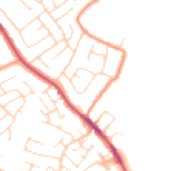
Daytime· 07:00 – 23:00
48.2dB

Night-time· 23:00 – 07:00
39.1dB