82 Kimberley Road, Nuthall, Nottingham, NG16 1DF
About 82 Kimberley Road
82 Kimberley Road is a five-bedroom detached house in Nuthall, Nottingham, Nottingham (NG16 1DF). It has a recorded floor area of 191 m² (around 2056 sq ft), construction records dating it to 1900-1929 and council tax band E. The latest certificate (September 2014) shows an E (score 46), well below the UK norm with real room to improve. The recommended improvements would lift it to C (score 71), a 2-band jump. The latest certificate is from September 2014, so improvements made since then won't be reflected.
At 191 m² the property is well over the postcode median (104 m² across 21 EPCs), placing it in the larger end of the local stock. 5 bedrooms is on the larger side for this postcode, where 4 is the typical count. Most recent transfer: October 2023 at £480,000. Across the public record there are 4 sales, relatively high churn for a single property. Across 1999–2023, sale prices on this property compounded at 6.3% per year. On a £-per-square-foot basis, the last sale (£233/sq ft) was about 51.8% above the typical sold price in the postcode. 2 planning records sit against the property, 0 approved, 0 refused.
Know exactly what you're buying at 82 Kimberley Road
Before you offer, see what the listing won't tell you, the true value, the red flags and the full history.
Valuation
against the asking price
Risks
planning & flood
Sold prices
similar homes nearby
Trends
the local market
What this property has
Inside
- Bedrooms5
- Bathrooms2
- EnsuiteYes
Building
- RefurbishedYes
Energy performance
82 Kimberley Road's carbon output runs well above what efficient homes in the postcode produce.
EPC Expired
This certificate is over 10 years old and is no longer valid.Expired 21 Sept 2024
EPC Rating
Planning history
- Mar 2005PorchFullIn report
Extension: Single storey · Rear of property
Construct first floor rear extension with dormer window and front porch
Extension- Documents
- 3 docs on file
- Reference
- 05/00010/FUL
- Nov 2002ExtensionFullIn report
Extension: Rear of property
Construct ground floor rear extension
- Reference
- 02/00858/FUL
What's in 82 Kimberley Road, Nuthall, Nottingham, NG16 1DF's planning history?
Refusals, disputes and full decisions on this property and nearby, in the report.
Sales history & valuation
Latest sale on 82 Kimberley Road was the highest on Land Registry record across the postcode.
£465,000
Modelled from EPC, postcode comparables and a sale-price growth of 6.3% per year over 24 years.
£480,000
Growth on file: 6.3% per year over 24 years.
Sales timeline
25 October 2023Most recent
£480,000
+29.7%over 5 years11 October 2018
£370,000
+1.4%over 10 years17 April 2008
£365,000
+231.8%over 8 years13 October 1999
£110,000
Median price across the last 5 sales in NG16 1DF: £312,000 (2025–2019).
Nearby sales in NG16 1DF
58 Kimberley Road, Nuthall, Nottingham, NG16 1DF
Sold Aug 2025
£312,00068 Kimberley Road, Nuthall, Nottingham, NG16 1DF
Sold Dec 2022
£285,00078 Kimberley Road, Nuthall, Nottingham, NG16 1DF
Sold Aug 2022
£295,00040 Kimberley Road, Nuthall, Nottingham, NG16 1DF
Sold Jun 2021
£350,00050 Kimberley Road, Nuthall, Nottingham, NG16 1DF
Sold Oct 2019
£327,000
Everything we know about 82 Kimberley Road, in one report
What it's really worth, what could be wrong, and the planning, sales and area data in full.
- Am I paying too much?
- Is something wrong with it?
- Is the agent's story true?
- Will it hold its value?

Versus other Kimberley Road homes
82 Kimberley Road is notably below the street on co₂ emissions.
Price per m²
£2,513
Street avg £2,030
Floor Area
191 m²
Street avg 116 m²
Habitable Rooms
8 rooms
Street avg 6 rooms
CO₂ Emissions
11.0 t/year
Street avg 6.0 t/year
Similar properties nearby
1 Canterbury Close, Nuthall
NG16 1PU
1 Chigwell Close, Nuthall
NG16 1QL
1 Bishopdale Drive, Watnall
NG16 1LE
1 Burnt Oak Close, Nuthall
NG16 1QR
1 Blackfriars Close, Nuthall
NG16 1QJ
1 Alandene Avenue, Watnall
NG16 1HH
1 Britannia Close, Watnall
NG16 1GN
1 Beryldene Avenue, Watnall
NG16 1HJ
The neighbourhood at a glance
Reported crime in the wider district is trending notably upward year-on-year.
Crime
3/mo
Rising year-on-year across the wider district.
Nearest stop
0.0 km
Atkinson Gardens — bus stop.
Closest school
0.1 km
Larkfields Infant School. 18 schools nearby.
Go deeper on the local area
The full report breaks down crime, transport links, schools and air quality in depth.
Road noise across the postcode
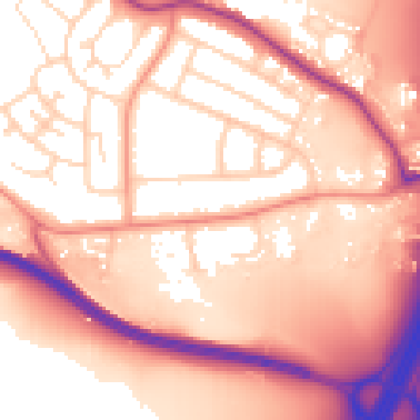
Daytime· 07:00 – 23:00
57.9dB

Night-time· 23:00 – 07:00
50.1dB