9 Colville Terrace, Nottingham, NG1 4HL
About 9 Colville Terrace
9 Colville Terrace is a mid-terrace house in Nottingham (NG1 4HL). It has a recorded floor area of 72 m² (around 775 sq ft), construction records dating it to 1900-1929 and council tax band A. The latest certificate (February 2020) shows a D (score 68), on the cusp of jumping into the C band. The rating has held steady at D across 2 certificates since November 2009. Between certificates, hot-water efficiency went from Average to Good and lighting went from Good to Very Good; while roof efficiency dropped from Average to Very Poor. The recommended improvements would lift it to B (score 83), a 2-band jump.
At 72 m² the property is well over the postcode median (50 m² across 12 EPCs), placing it in the larger end of the local stock. Across 1999–2021, sale prices on this property compounded at 7.3% per year. Today's modelled estimate of £231,000 is 16.4% above the 2021 sale price. Sold January 2021 for £198,500. That sale was during the post-pandemic price surge, when transactions cleared materially above pre-2020 trend.
Everything you need to know about 9 Colville Terrace
The true value, the hidden risks and the full sale history, in one report.
Pick your report · every report is £14.99
One time fee only - money back guarantee

The data behind every report


Energy performance
Recommended upgrades on file would lift this property by multiple EPC bands.
EPC Rating
Property Improvements
Changes detected from historical EPC data
Heating controls upgraded for better temperature management
Hot water system upgraded
Get a survey for this property
Level 3 Building Survey
Because the property was built before 1919 and has solid (non-cavity) walls, we believe a Level 3 building survey should be considered.
From £885 · Includes VAT
Planning history
9 Colville Terrace has no planning applications on record.
But the area is active
16 notable applications nearby — larger schemes and conversions that could reshape the street. The report maps them all.
Sales history & valuation
Price for 9 Colville Terrace has grown more than fourfold since the 1999 starting point.
£231,000
Modelled from EPC, postcode comparables and a sale-price growth of 7.3% per year over 21 years.
£198,500
Growth on file: 7.3% per year over 21 years.
Sales timeline
15 January 2021Most recent
£198,500
+187.7%over 20 years22 August 2000
£69,000
+53.5%over 9 months19 November 1999
£44,950
Versus other Colville Terrace homes
Floor Area for 9 Colville Terrace runs comfortably ahead of the street norm.
EPC Rating
68 (D)
Street avg 66 (D)
Floor Area
72 m²
Street avg 49 m²
CO₂ Emissions
2.8 t/year
Street avg 2.5 t/year
Habitable Rooms
5 rooms
Street avg 3 rooms
Everything you need to know about 9 Colville Terrace
The true value, the hidden risks and the full sale history, in one report.
Pick your report · every report is £14.99
One time fee only - money back guarantee
The data behind every report
Similar properties nearby
The neighbourhood at a glance
Rail-style transport is unusually close for this postcode.
Crime
39/mo
Rising year-on-year across the wider district.
Nearest stop
0.1 km
Forest Road — bus stop.
Closest school
0.6 km
Huntingdon Academy. 41 schools nearby.
Go deeper on the local area
A Local Area report breaks down crime, transport links, schools and air quality in depth.
Road noise across the postcode
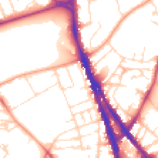
Daytime· 07:00 – 23:00
53.9dB
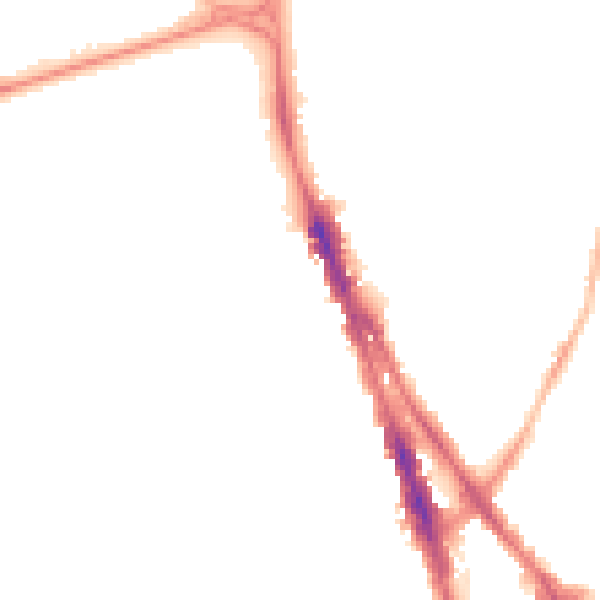
Night-time· 23:00 – 07:00
43.7dB