178a, North Sherwood Street, Nottingham, NG1 4EF
About 178a
178a is a semi-detached house in Nottingham (NG1 4EF). It has a recorded floor area of 55 m² (around 592 sq ft) and construction records dating it to 1930-1949. At 55 m² this is the 28th smallest of 53 units on EPC record in the building, where floor areas span 17–233 m². The building's EPC ratings span E to C, with this unit at the top. The latest certificate (July 2019) shows a C (score 77), near the top of the C band. When first surveyed in November 2008 the rating was E, the property has climbed 2 bands since. Between certificates, wall efficiency went from Very Poor to Good, roof efficiency went from Very Poor to Good and window efficiency went from Poor to Average.
Everything you need to know about 178a
The true value, the hidden risks and the full sale history, in one report.
Pick your report · every report is £14.99
One time fee only - money back guarantee

The data behind every report


Energy performance
178a's carbon output is low for the local stock.
EPC Rating
Property Improvements
Changes detected from historical EPC data
Heating controls upgraded for better temperature management
Windows upgraded, improving insulation
Wall insulation improved
Roof insulation improved
More low energy lighting installed
Get a survey for this property
Level 3 Building Survey
Because the property has solid (non-cavity) walls, we believe a Level 3 building survey should be considered.
From £820 · Includes VAT
Planning history
178a has no planning applications on record.
But the area is active
16 notable applications nearby — larger schemes and conversions that could reshape the street. The report maps them all.
Sales history & valuation
178a has no Land Registry sales on file, suggesting it has stayed in the same hands since registration began.
£151,000
Modelled from EPC, postcode comparables.
No sales recorded with HM Land Registry
That can mean the property has never traded since the registry began publishing in 1995, was a new build that hasn't been registered yet, or is held in the same hands long-term.
Median price across the last 3 sales in NG1 4EF: £85,000 (2016–2001).
Versus other North Sherwood Street homes
EPC Rating for 178a runs comfortably ahead of the street norm.
EPC Rating
77 (C)
Street avg 62 (D)
Floor Area
55 m²
Street avg 59 m²
CO₂ Emissions
1.5 t/year
Street avg 3.6 t/year
Habitable Rooms
5 rooms
Street avg 4 rooms
Everything you need to know about 178a
The true value, the hidden risks and the full sale history, in one report.
Pick your report · every report is £14.99
One time fee only - money back guarantee
The data behind every report
Similar properties nearby
The neighbourhood at a glance
Rail-style transport is unusually close for this postcode.
Crime
39/mo
Rising year-on-year across the wider district.
Nearest stop
0.0 km
Frogmore Street — bus stop.
Closest school
0.4 km
Huntingdon Academy. 43 schools nearby.
Go deeper on the local area
A Local Area report breaks down crime, transport links, schools and air quality in depth.
Road noise across the postcode
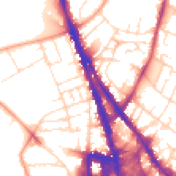
Daytime· 07:00 – 23:00
55.1dB
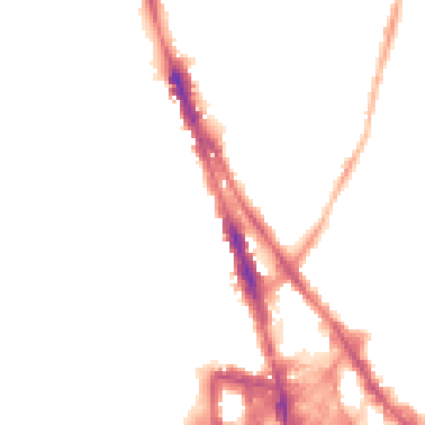
Night-time· 23:00 – 07:00
44.8dB