17 Westfield, Newcastle Upon Tyne, NE3 4YB
About 17 Westfield
17 Westfield is a five-bedroom detached house in Newcastle Upon Tyne (NE3 4YB). It has a recorded floor area of 249 m² (around 2680 sq ft), construction records dating it to 1930-1949 and council tax band G. It is a listed building, which means external alterations are tightly controlled but it may qualify for heritage tax reliefs. Period features are noted in the property record. The latest certificate (May 2018) shows an E (score 46), well below the UK norm with real room to improve. The recommended improvements would push it to D (score 65).
At 249 m² the property is well over the postcode median (119 m² across 22 EPCs), placing it in the larger end of the local stock. It lags the bulk of the postcode on energy efficiency (less efficient than 82% of similar EPCs). Most recent transfer: June 2021 at £1,012,500. Across the public record there are 5 sales, relatively high churn for a single property. That sale was during the post-pandemic price surge, when transactions cleared materially above pre-2020 trend. 5 planning records sit against the property, 3 approved, 1 refused. Past consents include an extension and tree works, meaningful when judging how the property has evolved. Across 1998–2021, sale prices on this property compounded at 5.9% per year. Today's modelled estimate of £1,147,000 is 13.3% above the 2021 sale price. On a £-per-square-foot basis, the last sale (£378/sq ft) was about 124.7% above the typical sold price in the postcode.
What this property has
Inside
- Bedrooms5
- Bathrooms2
- Open-plan layoutYes
- Dining roomYes
- Utility roomYes
- EnsuiteYes
Outside
- Private gardenSouth-facing
- GarageIntegral
Building
- Listed buildingYes
- Period featuresYes
- RefurbishedYes
Everything you need to know about 17 Westfield
The true value, the hidden risks and the full sale history, in one report.
30-day money-back guarantee

The data behind every report


Energy performance
17 Westfield's carbon output runs well above what efficient homes in the postcode produce.
EPC Rating
Planning history
- Dec 2017ExtensionFullIn report
Extension: Two storey · Rear of property
Erection of two storey extension to rear, alterations to driveway and erection of boundary wall to front including automatic sliding gates, and alterations to elevations. As amended by plans received on 10.11.2017.
- Documents
- 13 docs on file
- Reference
- 2017/0728/01/DET
- Aug 2016ConditionsIn report
TPO Application : Submission of details of the date of felling to comply with Condition 1 and details of replacement planting to comply with Condition 2 of permission 2015/0363/01/TRE dated 7/5/2015
- Reference
- 2015/0363/02/TRE
We flagged 1 thing worth checking at 17 Westfield
Independent checks surfaced things a buyer would want to understand before offering. The report explains each one in full, with the underlying data and what to ask.
- Larger development activity nearby
30-day money-back guarantee
Sales history & valuation
Latest sale on 17 Westfield was the highest on Land Registry record across the postcode.
£1,147,000
Modelled from EPC, postcode comparables and a sale-price growth of 5.9% per year over 23 years.
£1,012,500
Growth on file: 5.9% per year over 23 years.
Sales timeline
23 June 2021Most recent
£1,012,500
+7.1%over 1 year24 October 2019
£945,000
+11.2%over 10 years3 September 2009
£850,000
+73.5%over 6 years24 September 2002
£490,000
+83.5%over 4 years21 May 1998
£267,000
Median price across the last 5 sales in NE3 4YB: £400,000 (2025–2021).
Nearby sales in NE3 4YB
6 Westfield, Newcastle Upon Tyne, NE3 4YB
Sold Feb 2025
£717,0005 Brookfield, Westfield, Newcastle Upon Tyne, NE3 4YB
Sold Sept 2023
£525,0007 Brookfield, Westfield, Newcastle Upon Tyne, NE3 4YB
Sold Aug 2023
£375,0006 Brookfield, Westfield, Newcastle Upon Tyne, NE3 4YB
Sold May 2021
£400,00015 Brookfield, Westfield, Newcastle Upon Tyne, NE3 4YB
Sold Jun 2020
£212,500
Versus other Westfield homes
EPC Rating for 17 Westfield lags the street by a wide margin.
Price per m²
£4,066
Street avg £2,691
Floor Area
249 m²
Street avg 161 m²
Habitable Rooms
6 rooms
Street avg 6 rooms
CO₂ Emissions
14.0 t/year
Street avg 7.9 t/year
Everything you need to know about 17 Westfield
The true value, the hidden risks and the full sale history, in one report.
30-day money-back guarantee
The data behind every report
Similar properties nearby
1 Adeline Gardens
NE3 4JQ
1 Beechcroft Avenue
NE3 4SL
1 Bloomsbury Court
NE3 4LW
1 Beechfield Road
NE3 4DR
1 Birtley Close
NE3 4RL
1 Briardene Crescent
NE3 4RX
1 Beechcroft, Kenton Road
NE3 4NB
1 Arlington Court, Kenton Avenue
NE3 4JR
The neighbourhood at a glance
Crime
6/mo
Steady year-on-year across the wider district.
Nearest stop
0.1 km
Kenton Road-Montagu Avenue — bus stop.
Closest school
0.9 km
Wyndham Primary School. 32 schools nearby.
Go deeper on the local area
The full report breaks down crime, transport links, schools and air quality in depth.
Road noise across the postcode
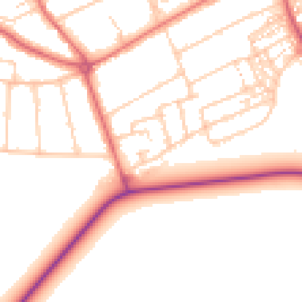
Daytime· 07:00 – 23:00
51.5dB

Night-time· 23:00 – 07:00
42.3dB