23 Ashfield Road, Newcastle Upon Tyne, NE3 4XL
About 23 Ashfield Road
23 Ashfield Road is a two-bedroom mid-terrace house in Newcastle Upon Tyne (NE3 4XL). It has a recorded floor area of 67 m² (around 721 sq ft), construction records dating it to 1900-1929 and council tax band A. At 67 m² this is the 18th smallest of 44 units on EPC record in the building, where floor areas span 45–100 m². The building's EPC ratings span E to C, with this unit at the top. The latest certificate (July 2025) shows a C (score 69), just inside the C band. When first surveyed in May 2012 the rating was D, the property has climbed 1 band since. Between certificates, lighting went from Poor to Very Good; while window efficiency dropped from Average to Poor.
On the market in October 2015 and unlisted since — roughly 11 years. Across the public record there are 5 sales, relatively high churn for a single property. Across 1996–2015, sale prices on this property compounded at 6.5% per year. Today's modelled estimate of £186,000 is 26.5% above the 2015 sale price. On a £-per-square-foot basis, the last sale (£204/sq ft) was about 33.5% above the typical sold price in the postcode.
What this property has
Inside
- Bedrooms2
- Bathrooms1
Outside
- Private gardenRear
Building
- Heating systemGas
- RefurbishedYes
Everything you need to know about 23 Ashfield Road
The true value, the hidden risks and the full sale history, in one report.
30-day money-back guarantee

The data behind every report


Energy performance
EPC Rating
Property Improvements
Changes detected from historical EPC data
Heating controls upgraded for better temperature management
Windows upgraded, improving insulation
More low energy lighting installed
Planning history
23 Ashfield Road has no planning applications on record.
Notable planning nearby
1applications of note in the surrounding area
We flagged 1 thing worth checking at 23 Ashfield Road
Independent checks surfaced things a buyer would want to understand before offering. The report explains each one in full, with the underlying data and what to ask.
- Larger development activity nearby
30-day money-back guarantee
Sales history & valuation
23 Ashfield Road has more than tripled in price since its earliest registered sale in 1996.
£186,000
Modelled from EPC, postcode comparables and a sale-price growth of 6.5% per year over 19 years.
£147,000
Growth on file: 6.5% per year over 19 years.
Sales timeline
7 October 2015Most recent
£147,000
+22.5%over 9 years31 July 2006
£120,000
+224.3%over 9 years30 July 1997
£37,000
-21.3%15 May 1997
£47,000
+9.3%over 1 year18 April 1996
£43,000
Median price across the last 5 sales in NE3 4XL: £190,500 (2025–2024).
Nearby sales in NE3 4XL
30 Ashfield Road, Newcastle Upon Tyne, NE3 4XL
Sold Nov 2025
£190,50010 Ashfield Road, Newcastle Upon Tyne, NE3 4XL
Sold Sept 2025
£199,0009 Ashfield Road, Newcastle Upon Tyne, NE3 4XL
Sold Apr 2025
£175,00011 Ashfield Road, Newcastle Upon Tyne, NE3 4XL
Sold Oct 2024
£140,00015 Ashfield Road, Newcastle Upon Tyne, NE3 4XL
Sold Jul 2024
£220,000
Versus other Ashfield Road homes
Price per m²
£2,194
Street avg £2,021
Floor Area
67 m²
Street avg 68 m²
Habitable Rooms
3 rooms
Street avg 3 rooms
CO₂ Emissions
3.1 t/year
Street avg 3.1 t/year
Everything you need to know about 23 Ashfield Road
The true value, the hidden risks and the full sale history, in one report.
30-day money-back guarantee
The data behind every report
Similar properties nearby
1 Bideford Road
NE3 4UQ
1 Beech Court, Linden Road, Gosforth
NE3 4HB
1 Broad Meadows
NE3 4PZ
1 Ashbrooke Street
NE3 4UH
1 Arlington Avenue
NE3 4TS
1 Braebridge Place
NE3 4PX
1 Beechcroft, Kenton Road
NE3 4NB
1 Briardene Crescent
NE3 4RX
The neighbourhood at a glance
Crime
6/mo
Steady year-on-year across the wider district.
Nearest stop
0.1 km
Salters Road-Yetlington Drive — bus stop.
Closest school
0.7 km
Wyndham Primary School. 28 schools nearby.
Go deeper on the local area
The full report breaks down crime, transport links, schools and air quality in depth.
Road noise across the postcode
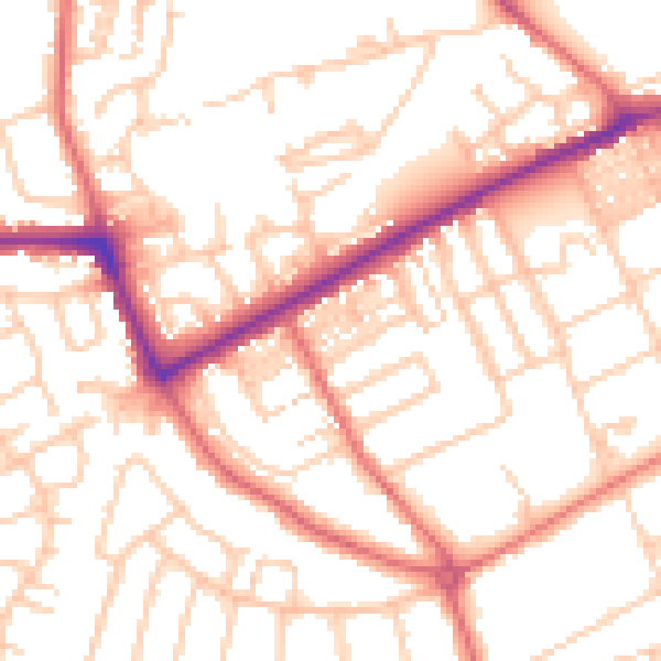
Daytime· 07:00 – 23:00
53.2dB

Night-time· 23:00 – 07:00
41.5dB